


Bargana
| Bargana | |
|---|---|
| Барғана | |
 Lake Bargana Sentinel-2 image. | |
  Bargana Location within Kazakhstan | |
| Location | Kulunda Plain |
| Coordinates | 51°45′36″N 78°57′32″E / 51.76000°N 78.95889°E |
| Type | Endorheic |
| Basin countries | Kazakhstan |
| Max. length | 4.5 kilometers (2.8 mi) |
| Max. width | 2.7 kilometers (1.7 mi) |
Surface area | 9.4 square kilometers (3.6 sq mi) |
| Residence time | UTC+5 |
Shore length1 | 13.2 kilometers (8.2 mi) |
Surface elevation | 148 meters (486 ft) |
| Islands | numerous |
| Settlements | Shoktal |
| 1 Shore length is not a well-defined measure. | |
Bargana (Kazakh: Барғана; Russian: Баргана) is a salt lake in Akkuly District, Pavlodar Region, Kazakhstan.[1]
Bargana lake is 19 kilometers (12 mi) west of the Russia-Kazakhstan border, 3.5 kilometers (2.2 mi) southwest of Shoktal village and 10 kilometers (6.2 mi) east of Maykaragay. Akkuly, the district capital, is roughly 83 kilometers (52 mi) to the southwest.[2][3]
Geography
[edit]Bargana is part of the Irtysh basin. It lies in a tectonic depression of the Kulunda Plain. Lake Malybay 36 kilometers (22 mi) is located to the southwest and red lake Kyzyltuz 3.5 kilometers (2.2 mi) further to the west. Seiten lies 55 kilometers (34 mi) to the WNW, Borli 62 kilometers (39 mi) to the west, and Sormoildy 32 kilometers (20 mi) to the SSE. Lake Gornostalevo lies 23 kilometers (14 mi) to the northeast and Malinovoye 49 kilometers (30 mi) to the east, both on the other side of the border. The Irtysh river flows 82 kilometers (51 mi) to the southwest.[2]
The lake has an elongated, irregular shape, stretching roughly from southeast to northwest for about 5 kilometers (3.1 mi). The eastern and northern coastlines are rocky. The remaining lakeshore sections are flat and swampy, fringed by salt marshes.[1][2][3][4]
Flora and fauna
[edit]Lake Bargana is surrounded by steppe vegetation. Its waters are used for watering local livestock until autumn, when the salinity increases and they become unsuitable for the purpose.[4]
See also
[edit]References
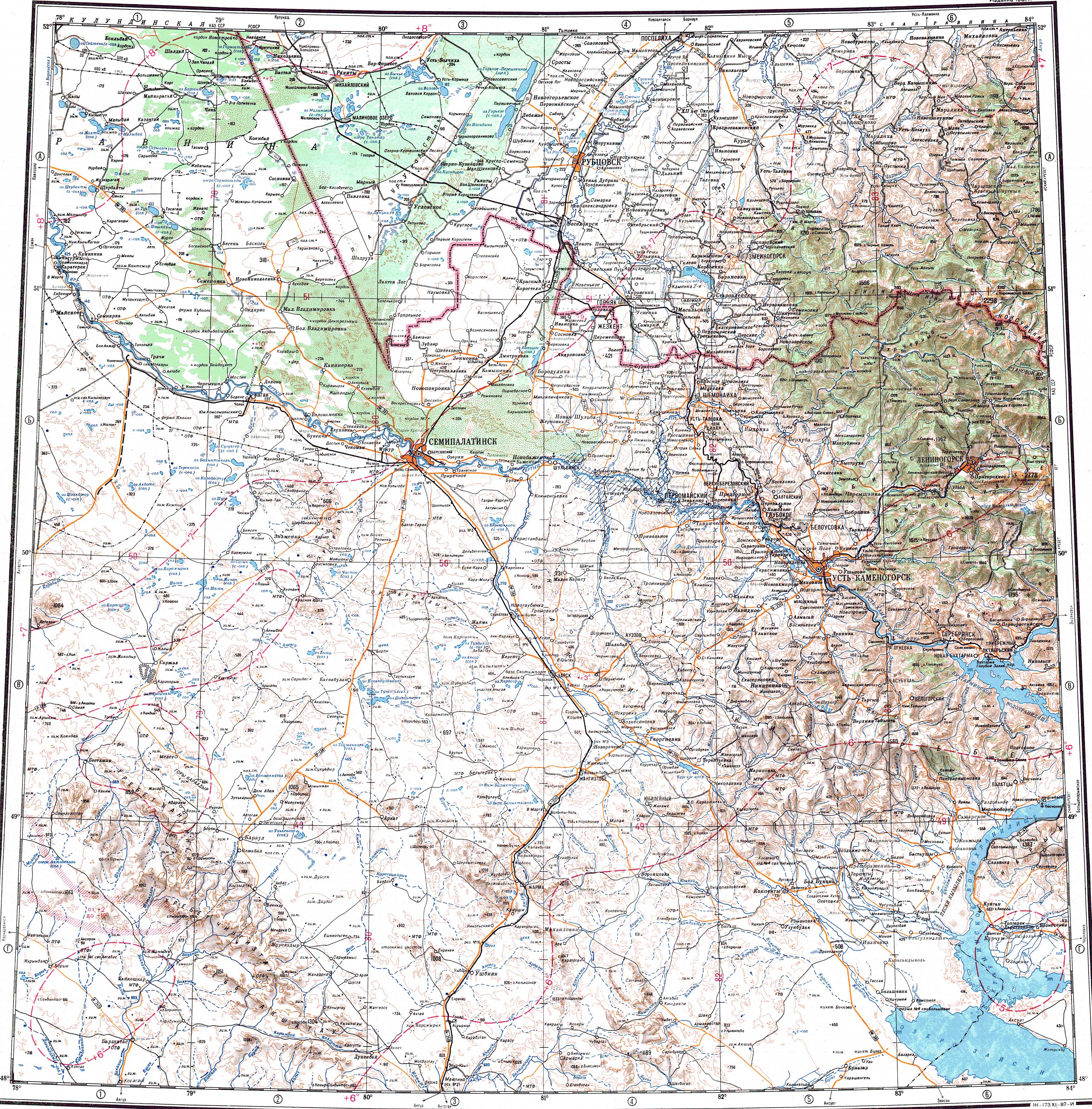
[edit]- 1 2 "M-44 Topographic Chart (in Russian)". Retrieved 29 August 2024.
- 1 2 3 Google Earth
- 1 2 А. Г. Царегородцева; М. А. Алькеев. "ЛАНДШАФТЫ ПАВЛОДАРСКОЙ ОБЛАСТИ" (PDF). Archived from the original (PDF) on 28 April 2024. Retrieved 31 May 2024.
- 1 2 Kazakhstan National Encyclopedia / Chief editor A. Nysanbayev - Almaty " Kazakh Encyclopedia" General editor, 1998 ISBN 5-89800-123-9, volume VI
External links
[edit] Media related to Bargana at Wikimedia Commons
- Hydrochemical Research and Geochemical Classification of Salt Lakes in the Pavlodar Region


 | This Pavlodar Region location article is a stub. You can help Wikipedia by adding missing information. |