


Kazy
| Kazy | |
|---|---|
| Қазы | |
 Sentinel-2 picture of the lake | |
  Kazy Location within Kazakhstan | |
| Location | Kulunda Plain |
| Coordinates | 51°42′09″N 78°03′33″E / 51.70250°N 78.05917°E |
| Type | Salt lake |
| 106 square kilometers (41 sq mi) | |
| Basin countries | Kazakhstan |
| Max. length | 3 kilometers (1.9 mi) |
| Max. width | 2.7 kilometers (1.7 mi) |
Surface area | 6 square kilometers (2.3 sq mi) |
Average depth | 1.6 meters (5 ft 3 in) |
Water volume | 0.005 cubic kilometers (0.0012 cu mi) |
| Residence time | UTC+5 |
Shore length1 | 8.9 kilometers (5.5 mi) |
Surface elevation | 119 meters (390 ft) |
| Islands | none |
| Settlements | Kazy |
| 1 Shore length is not a well-defined measure. | |
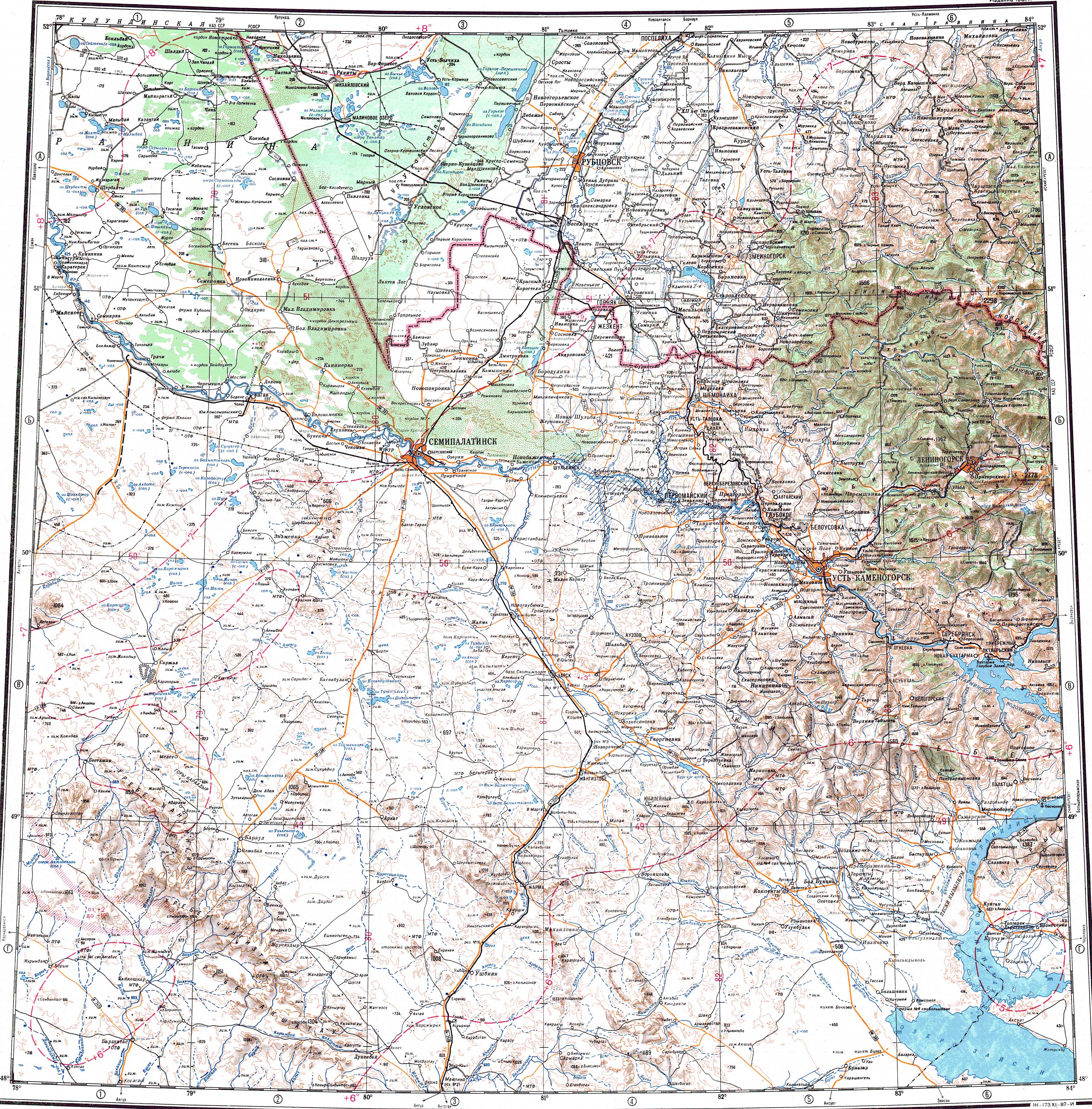
Kazy (Kazakh: Қазы; Russian: Казы) is a salt lake in Akkuly District, Pavlodar Region, Kazakhstan.[1]
Location
[edit]The lake is located 1.5 kilometers (0.93 mi) to the south of Kazy village, 25 kilometers (16 mi) to the northwest of Malybay, about 70 kilometers (43 mi) west of the Russia-Kazakhstan border. Akkuly, the district capital, lies 30 kilometers (19 mi) to the southwest.[2][3]
Geography
[edit]Kazy is part of the Irtysh basin. It lies in a tectonic depression of the Kulunda Plain. Lake Borli is located 11 kilometers (6.8 mi) to the northwest, Kyzyltuz 6 kilometers (3.7 mi) to the ESE, and Seiten 22 kilometers (14 mi) to the north.[2]
The shape of the lake is roughly oval. Compared to neighboring lakes it is relatively deep and displays a bluish-green hue. The eastern and northwestern shores are flat and swampy, but the southern coast is rocky.[3][2][1][4]
Flora and fauna
[edit]Lake Kazy is surrounded by steppe vegetation. The water is salty and has a high mineralization. It is not suitable for watering livestock.[4]
See also
[edit]References
[edit]- 1 2 "M-44 Topographic Chart (in Russian)". Retrieved 28 August 2024.
- 1 2 3 Google Earth
- 1 2 "ЛАНДШАФТЫ ПАВЛОДАРСКОЙ ОБЛАСТИ" (PDF). Archived from the original (PDF) on 2024-04-28. Retrieved 2024-08-28.
- 1 2 B. O. Jacob, ed. (2011). ATAMEKEN: Geographical Encyclopedia (648 p.). Almaty: Kazakh Encyclopedia LLP. ISBN 9965-893-70-5.
External links
[edit] Media related to Kazy at Wikimedia Commons
- Hydrochemical Research and Geochemical Classification of Salt Lakes in the Pavlodar Region


 | This Pavlodar Region location article is a stub. You can help Wikipedia by adding missing information. |