


// Workers AI · dad joke modeWhat did Botkul say to his date? You're a cult classic.
| Botkul | |
|---|---|
| Боткуль / Боткөл | |
 Panorama of the lake | |
  Botkul Location within Volgograd Oblast  Botkul Location within Kazakhstan | |
 ISS picture of the lake in 2019 | |
| Location | Caspian Lowland |
| Coordinates | 48°46′N 46°40′E / 48.767°N 46.667°E |
| Type | endorheic |
| Solyonaya | |
| 497 square kilometers (192 sq mi) | |
| Basin countries | Russia Kazakhstan |
| Max. length | 9.6 kilometers (6.0 mi) |
| Max. width | 6.6 kilometers (4.1 mi) |
Surface area | 32 square kilometers (12 sq mi) to 65.9 square kilometers (25.4 sq mi) |
Surface elevation | 2 meters (6 ft 7 in) |
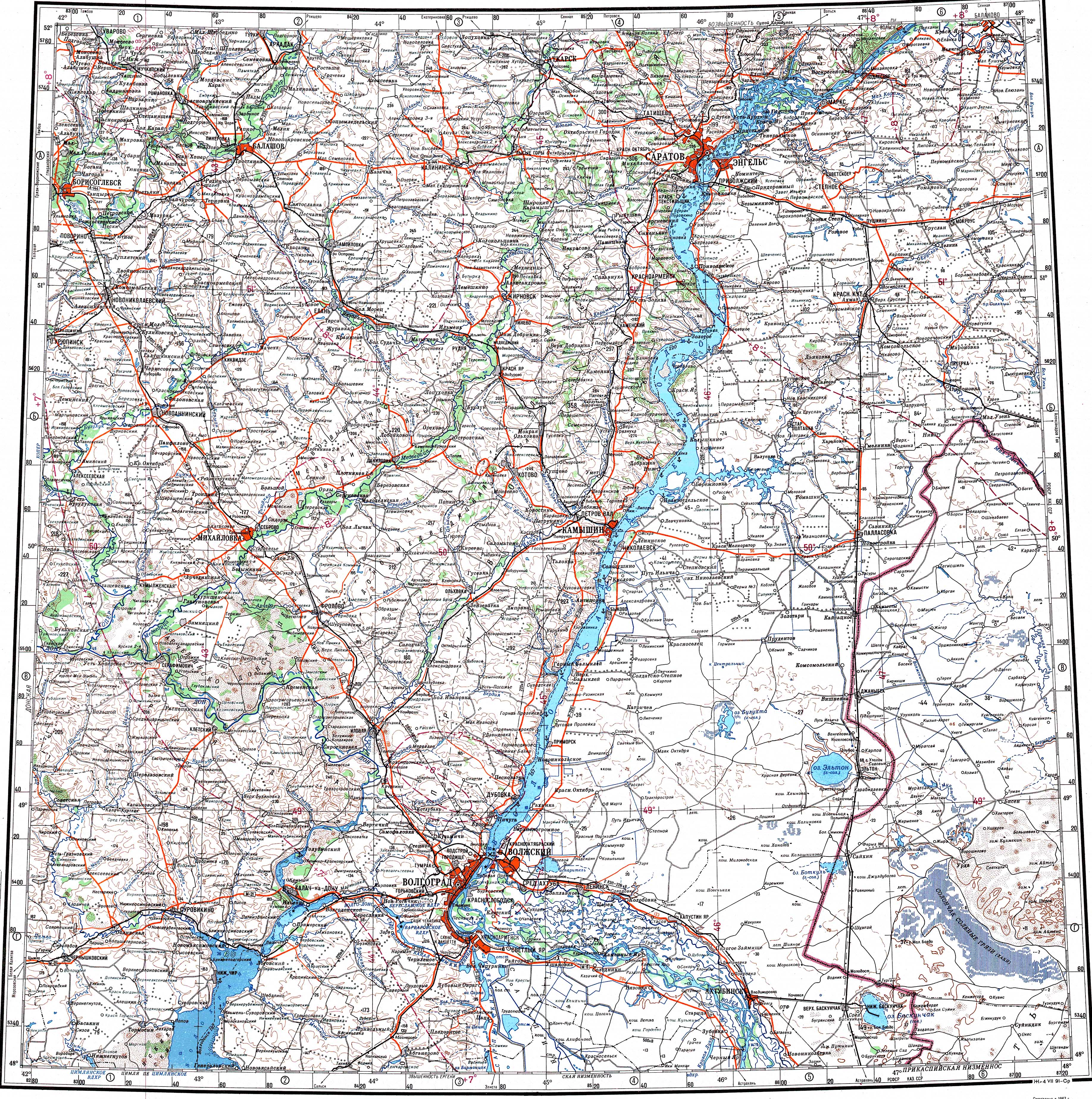
Botkul (Kazakh: Боткөл; Russian: Боткуль) is a bittern salt lake in the Kazakhstan–Russia border.[1]
There is no salt mining at the lake. Its waters have a bitter, stinging taste and a strong smell of hydrogen sulfide. The authorities are exploring the potential of developing Botkul as a tourist attraction.[2]
Geography
[edit]Botkul is an endorheic lake located east of the course of the Volga in the Caspian Lowland, about 40 kilometers (25 mi) to the south of lake Elton. The main river feeding its waters is the Solyonaya, a small stream flowing from the west. The lake is shallow and in years of drought it dries completely up.[3][4]
Botkul is surrounded by salt marshes. The Kazakhstan–Russia border runs across the middle of the lake from NNE to SSW. The western part of the lake lies in Pallasovsky District, Volgograd Oblast, Russian Federation and the eastern in Bokey Orda District, West Kazakhstan Region, Kazakhstan. Saykyn, located to the northeast, is the nearest village.[4][3]
See also
[edit]References
[edit]- ↑ "M-38 Topographic Chart (in Russian)". Retrieved 31 July 2022.
- ↑ Water of Russia - Боткуль
- 1 2 Боткуль; Great Soviet Encyclopedia in 30 vols. — Ch. ed. A.M. Prokhorov. - 3rd ed. - M. Soviet Encyclopedia, 1969-1978. (in Russian)
- 1 2 Google Earth
External links
[edit] Media related to Botkul at Wikimedia Commons
- Tourism and recreational potential of the salt lakes of Western Kazakhstan


 | This Russian location article is a stub. You can help Wikipedia by adding missing information. |
 | This West Kazakhstan Region location article is a stub. You can help Wikipedia by adding missing information. |