


Tuzdy
| Tuzdy | |
|---|---|
| Тұзды | |
 Close up of the lake Tuzdy cluster central part Sentinel-2 image. | |
  Tuzdy Location within Kazakhstan | |
| Location | Caspian Lowland |
| Coordinates | 49°37′06″N 52°18′13″E / 49.6183°N 52.3035°E |
| Type | salt lake |
| Zhylandy (Olenti) | |
| Basin countries | Kazakhstan |
| Max. length | 8.6 kilometers (5.3 mi) |
| Max. width | 7.2 kilometers (4.5 mi) |
Surface area | ca 70 square kilometers (27 sq mi) |
Surface elevation | 7 meters (23 ft) |
Tuzdy (Kazakh: Тұзды) is a salt lake cluster in Akzhaik District, West Kazakhstan Region, Kazakhstan.[1]
The lake group lies 40 kilometers (25 mi) northeast of Bazartobe, a village by the banks of the Ural river, and 27 kilometers (17 mi) northwest of Tolen.[2]
Geography
[edit]The lake cluster is 8.6 kilometers (5.3 mi) long and 7.2 kilometers (4.5 mi) wide. It is part of the Ural River basin. The lake group is fed by snow, as well as groundwater. The individual lakes have very indented shores and may become a single lake during heavy spring floods. In the summer the lakes are mostly dry.[3]
River Olenti flows from the north but doesn't reach the lake group. The Zhylandy, a short river, begins a little to the southeast from where the Olenti disperses in the sand. It flows southwards and reaches the northern tip of the Tuzdy. To the south and southeast stretches the wide lake area that lies at the end of river Kaldygaity, near Tolen village.[2][1]
 |
See also
[edit]References
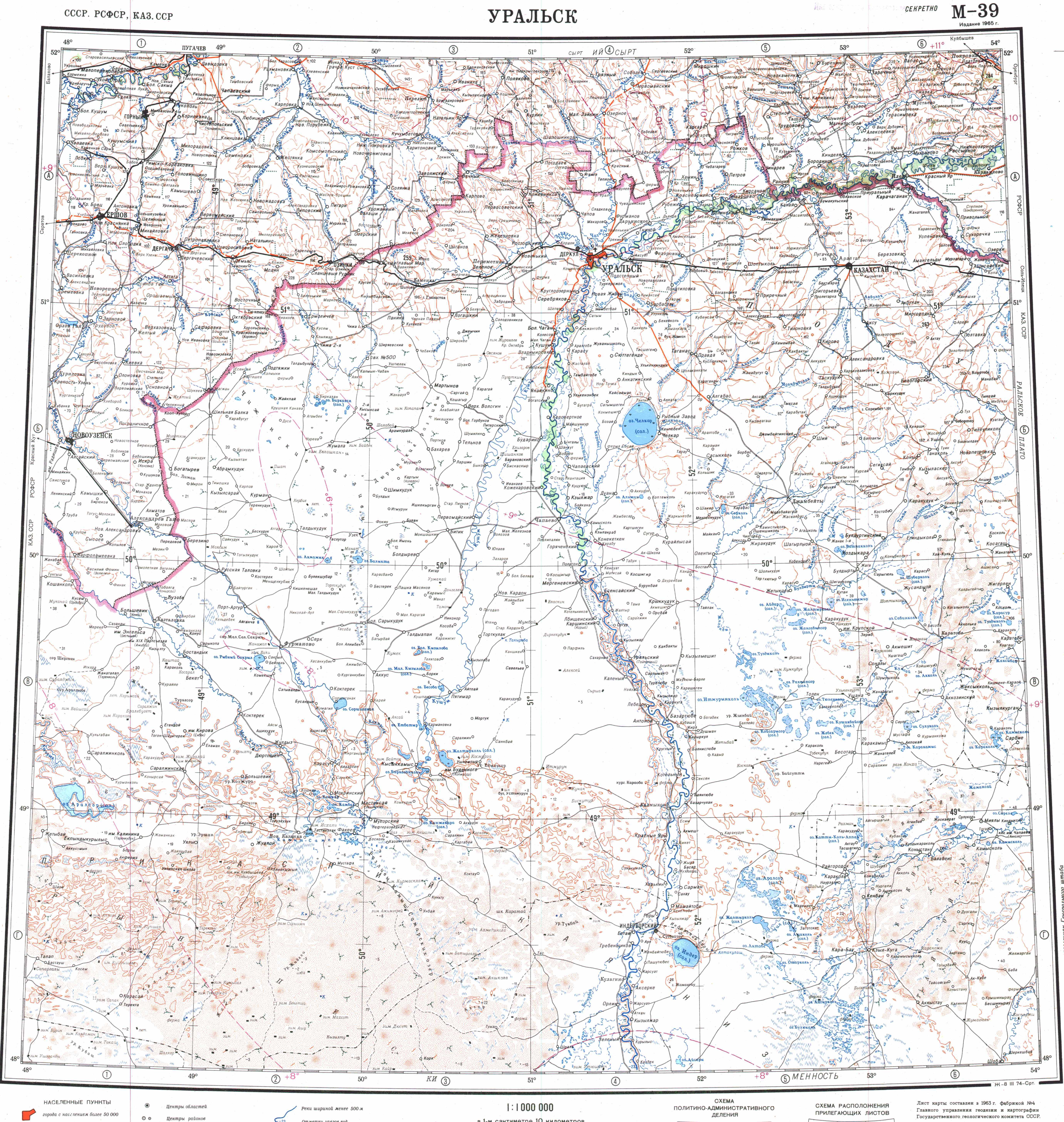
[edit]- 1 2 "M-39 Topographic Chart (in Russian)". Retrieved 24 February 2023.
- 1 2 Google Earth
- ↑ Kazakhstan National encyclopedia, volume VIII / Chief editor A. Nysanbayev - Almaty "Kazakh encyclopedia" General editor, 1998 ISBN 5-89800-123-9
External links
[edit] Media related to Tuzdy (lake) at Wikimedia Commons
- Tourism and recreational potential of the salt lakes of Western Kazakhstan


 | This West Kazakhstan Region location article is a stub. You can help Wikipedia by adding missing information. |