


Shoktal
Shoktal
Шоқтал | |
|---|---|
 Sentinel-2 image | |
  Shoktal Location in Kazakhstan | |
| Coordinates: 51°47′52″N 78°59′17″E / 51.79778°N 78.98806°E | |
| Country | Kazakhstan |
| Region | Pavlodar Region |
| District | Akkuly District |
| Rural District | Shaka Rural District |
| Population (2009) | |
• Total | 223 |
| Time zone | UTC+5 |
Shoktal (Kazakh: Шоқтал; Russian: Шоктал) is a settlement in Akkuly District, Pavlodar Region, Kazakhstan. It is part of the Shaka Rural District (KATO code — 555257500).[1] Population: 223 (2009 census results);[2] 348 (1999 census results).[2][3]
Geography
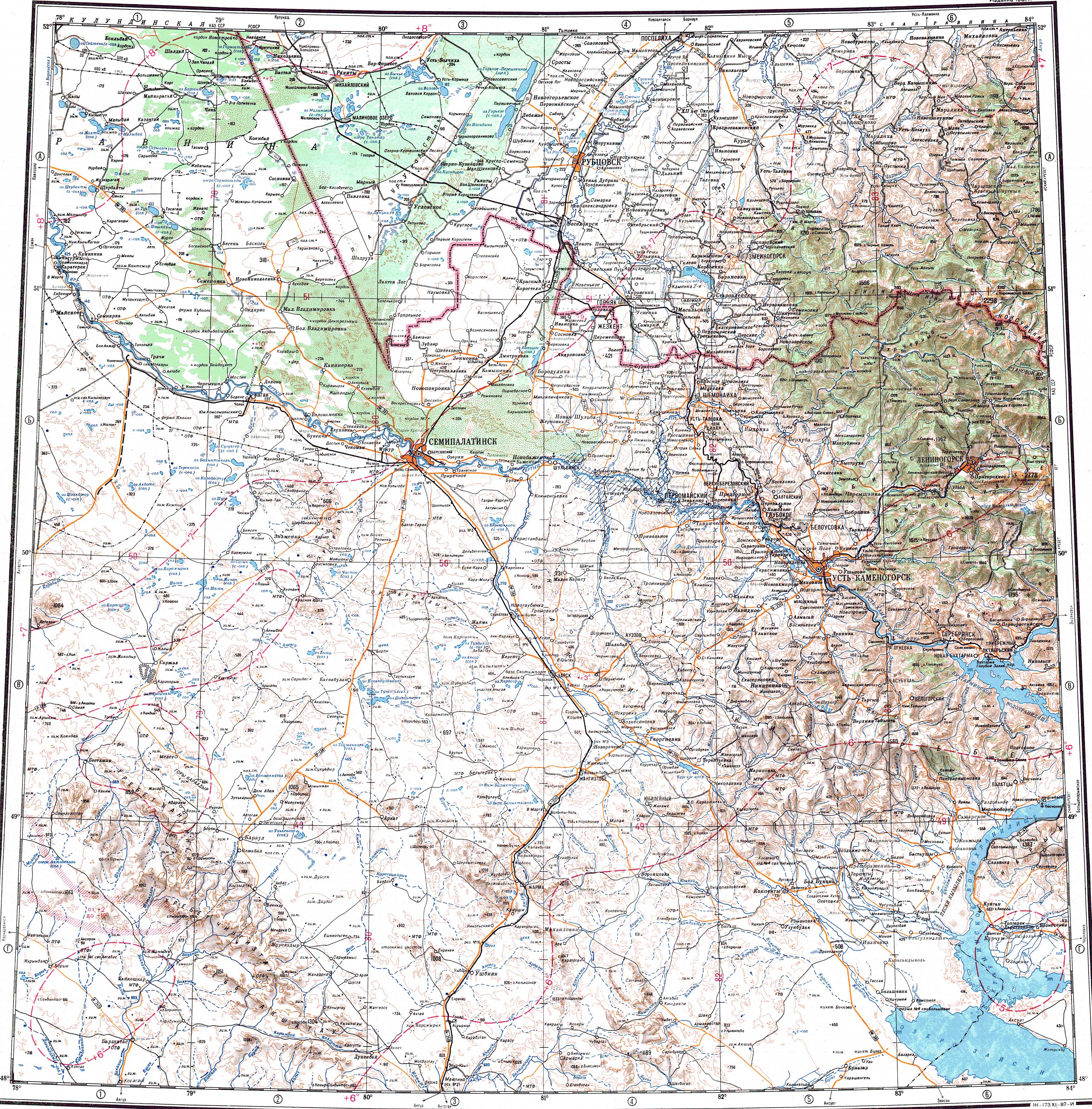
[edit]Shoktal is located in the Kulunda Steppe, 3 kilometers (1.9 mi) to the northeast of Bargana lake. There is also a large sor 2 kilometers (1.2 mi) to the ENE of the village. Akkuly town, the district capital, lies 90 kilometers (56 mi) to the southwest, and Maykaragay village 12 kilometers (7.5 mi) to the WSW. The Russia-Kazakhstan border and lake Gornostalevo lie 20 kilometers (12 mi) to the northeast.[4][5]
References
[edit]- ↑ "База КАТО". Агентство Республики Казахстан по статистике. Archived from the original on 2013-09-27.
- 1 2 "Население Республики Казахстан" [Population of the Republic of Kazakhstan] (in Russian). Департамент социальной и демографической статистики. Retrieved 8 December 2013.
- ↑ "Итоги Национальной переписи населения Республики Казахстан 2009 года" (PDF). Агентство Республики Казахстан по статистике. Archived from the original (PDF) on 2013-05-13.
- ↑ "M-44 Topographic Chart (in Russian)". Retrieved 31 May 2024.
- ↑ Google Earth.
Capital: Pavlodar | ||
| Districts |  | |
| City administrations | ||
 | This Pavlodar Region location article is a stub. You can help Wikipedia by adding missing information. |