


Linn Branch
| Linn Branch | |
|---|---|
 Historic bridge that once crossed this stream | |
 | |
| Location | |
| Country |  United States United States |
| State |  Missouri Missouri |
| County | Clinton |
| Physical characteristics | |
| Source | |
| • location | Atchison Township, Clinton County |
| • coordinates | 39°32′51″N 94°33′15″W / 39.54752267°N 94.55424103°W[1] |
| • elevation | 1,020 ft (310 m)[1] |
| Mouth | Little Platte River |
• location | Hardin Township, Clinton County |
• coordinates | 39°28′37″N 94°31′49″W / 39.4769429°N 94.5302305°W[2] |
• elevation | 860 ft (260 m)[2] |
| Length | 8.6 mi (13.8 km)[3] |
| Basin features | |
| Progression | Linn Branch → Little Platte River → Platte River → Missouri River → Mississippi River → Atlantic Ocean |
Linn Branch is a stream in southwestern Clinton County, Missouri in the United States.[2] It is a tributary of the Little Platte River and is 8.6 miles (13.8 km) long.[3]
The origin of the stream name was thought to have been derived from an early settler.[4] A variant name was Lynn Branch.[5]
The stream begins in south-central Atchison Township and flows southwesterly into Hardin Township[6] before crossing US 169. It then forms the western boundary to the village of Grayson before turning southeast and crossing over US 169 again. It continues southeast and enters Smithville Lake northeast of Trimble.[7]
The stream had one named direct tributary, Roberts Branch.[3]
A unique historic bridge, called the Waddell "A" Truss Bridge crossed this stream along the single-tracked segment of the Quincy, Omaha, and Kansas City Railroad between Plattsburg and Trimble.[8]
See also
[edit]References
[edit]- 1 2 "Rivers and Streams". Missouri Spatial Data Information Service. Missouri Department of Natural Resources. Retrieved October 17, 2025.
- 1 2 3 U.S. Geological Survey Geographic Names Information System: Linn Branch
- 1 2 3 Bayless, Mike (2022). Platte River Watershed and Inventory Assessment. Missouri Department of Conservation. Retrieved October 17, 2025.
- ↑ "Ramsey Place Name Files, 1928-1945 (C2366)". Retrieved October 20, 2025.
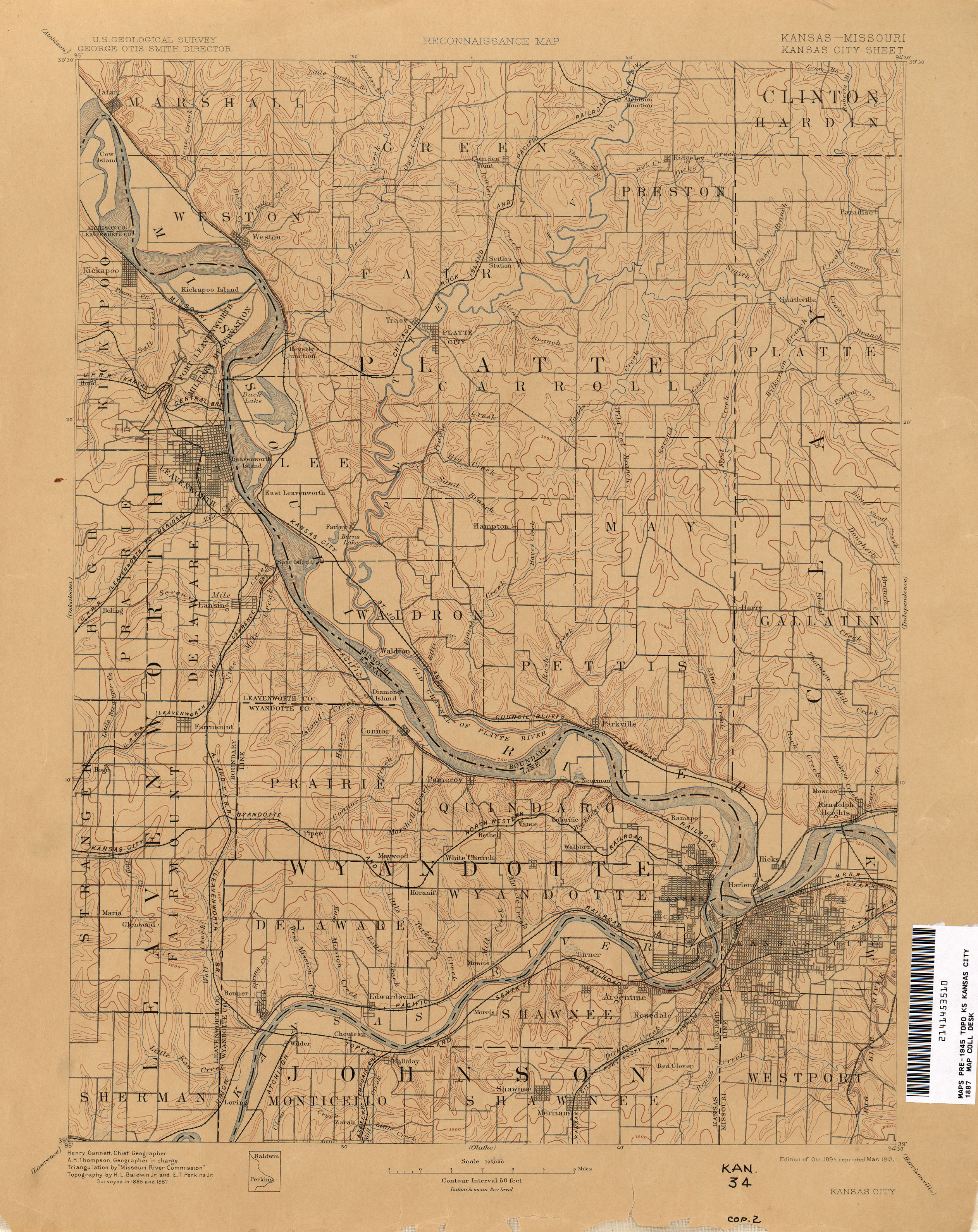
- ↑ "Kansas City - 1887". The University of Texas at Austin. USGS. Retrieved August 25, 2025.
- ↑ History of Clinton County, Missouri. St. Joseph, Mo., National historical co., 1881. p. 213.
- ↑ "Clinton County Map, 2025" (PDF). MoDOT. Retrieved October 19, 2025.
- ↑ Hauck, George F. W.; Gilleard, Gerald Lee; Mitchell, Steve; Fleming, Beverly (August 1990). "National Register of Historic Places Registration Form" (PDF). US National Archives. NRHP-90002173. United States Department of the Interior (published January 25, 1991). Archived from the original on June 2, 2021. Retrieved June 1, 2021.
{{cite web}}: CS1 maint: bot: original URL status unknown (link)
 | This article related to a river in Clinton County, Missouri is a stub. You can help Wikipedia by adding missing information. |