


// Workers AI · dad joke modeWhat did Enbekshilder say to its date? You're a site to behold.
Enbekshilder
Еңбекшілдер | |
|---|---|
 Enbekshilder to the north of the lake Sentinel-2 image. | |
  Enbekshilder Location in Kazakhstan | |
| Coordinates: 52°45′56″N 71°30′33″E / 52.76556°N 71.50917°E | |
| Country | Kazakhstan |
| Region | Akmola Region |
| District | Birzhan sal District |
| Rural District | Enbekshilder Rural District |
| Elevation | 226 m (741 ft) |
| Population (2009) | |
• Total | 514 |
| Time zone | UTC+5 |
| Postcode | 020704 |
Enbekshilder (Kazakh: Еңбекшілдер; Russian: Енбекшильдерское) is a settlement in Birzhan sal District, Akmola Region, Kazakhstan. It is the administrative center of Enbekshilder Rural District (KATO code — 114537100). Located in the middle, formerly the district was named Enbekshilder District, but it was renamed "Birzhan sal District" in 2017.[1]
Population: 514 (2009 census results);[2] 513 (1999 census results).[2][3]
Geography
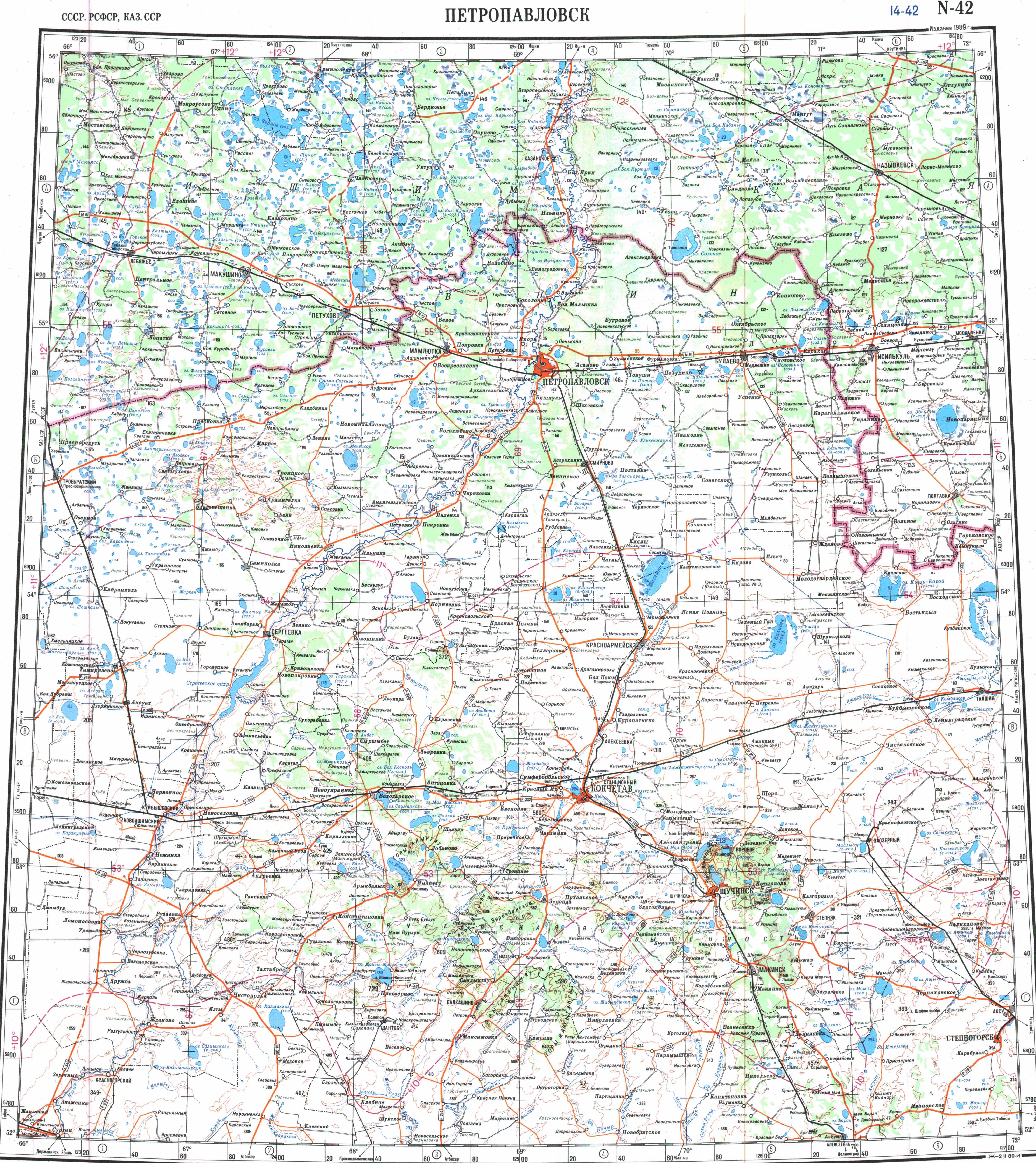
[edit]Enbekshilder is located in the Kazakh Uplands, 1.5 kilometers (0.93 mi) to the north of Atansor lake. Stepnyak town, the district capital, lies 48 kilometers (30 mi) to the northwest, and Atansor village —abolished in 2013— 6 kilometers (3.7 mi) to the south.[4][5]
References
[edit]- ↑ "База КАТО". Агентство Республики Казахстан по статистике. Archived from the original on 2013-09-27. Retrieved 2024-10-23.
- 1 2 "Население Республики Казахстан" [Population of the Republic of Kazakhstan] (in Russian). Департамент социальной и демографической статистики. Retrieved 8 December 2013.
- ↑ "Итоги Национальной переписи населения Республики Казахстан 2009 года" (PDF). Агентство Республики Казахстан по статистике. Archived from the original (PDF) on 2013-05-13.
- ↑ "N-42 Topographic Chart (in Russian)". Retrieved 23 October 2024.
- ↑ Google Earth.
Capital: Kokshetau | ||
| Cities |  | |
| Districts | ||
| Other settlements | ||
.png) | This Akmola Region location article is a stub. You can help Wikipedia by adding missing information. |