


// Workers AI · dad joke modeIs Atbasar District a good place? At bas-ically.
Atbasar | |
|---|---|
District | |
| Atbasar audany | |
 | |
| Country |  Kazakhstan Kazakhstan |
| Region | Aqmola Region |
| Administrative center | Atbasar |
| Founded | 1928 |
| Government | |
| • Akim (mayor) | Kalzhanov Amanbek Amirkhamzinovich[1] |
| Area | |
• Total | 2,900 sq mi (7,400 km2) |
| Population (2013)[2] | |
• Total | 50,046 |
| Time zone | UTC+6 (East) |
Atbasar District (Kazakh: Atbasar audany) is a district of Akmola Region in northern Kazakhstan. The administrative center of the district is the town of Atbasar. Population: 50,981 (2009 census results);[3] 61,009 (1999 census results).[3]
Geography
[edit]River Zhabay, a tributary of the Ishim, flows across the district.[4]
References
[edit]- ↑ "Назначен аким Атбасарского района Акмолинской области". www.inform.kz. 2017-11-20.
- ↑ "Департамент статистики Акмолинской области". Archived from the original on 2011-05-28. Retrieved 2010-05-13.
- 1 2 "Население Республики Казахстан" [Population of the Republic of Kazakhstan] (in Russian). Департамент социальной и демографической статистики. Retrieved 8 December 2013.
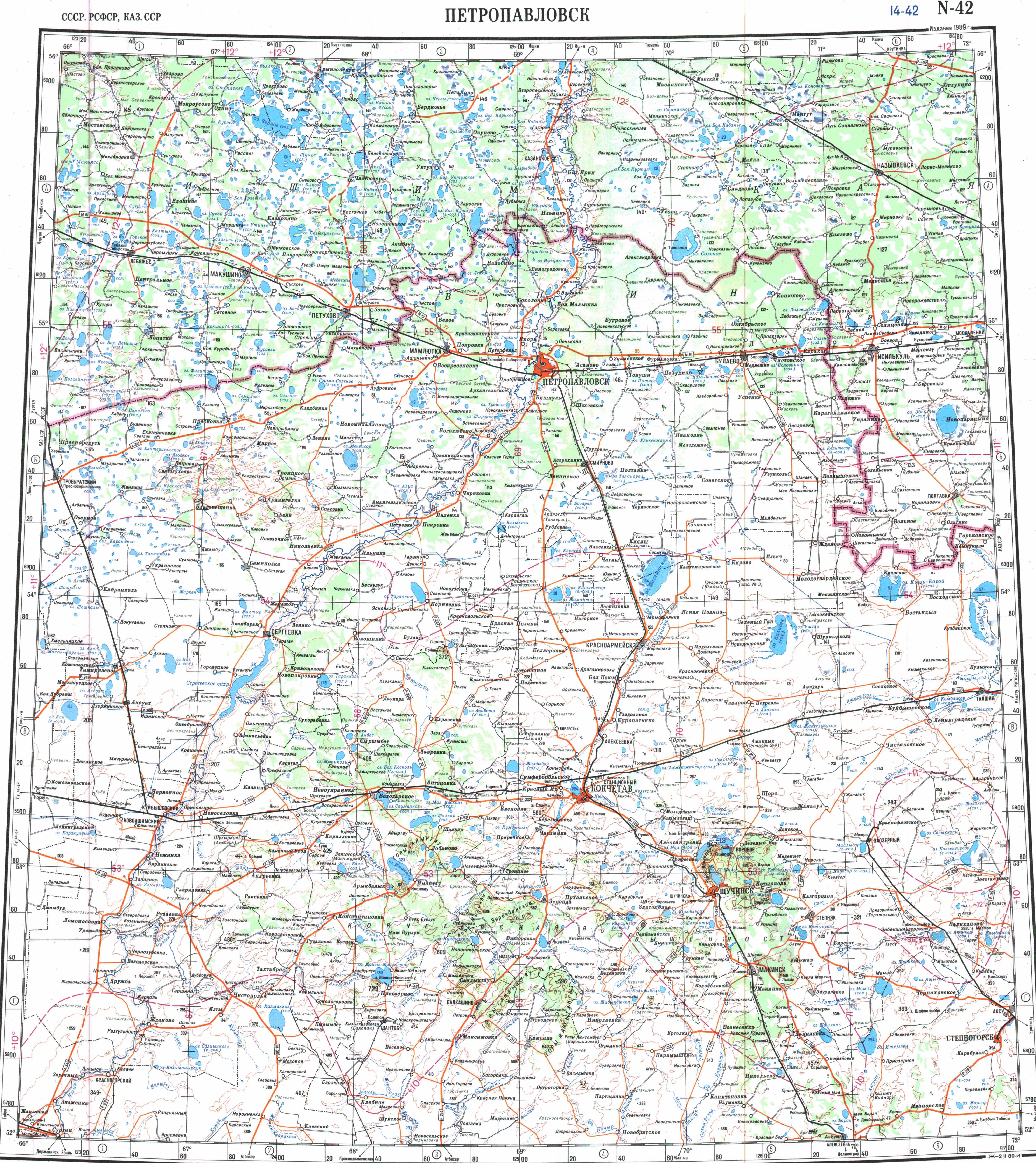
- ↑ "N-42 Topographic Chart (in Russian)". Retrieved 2 November 2024.
Capital: Kokshetau | ||
| Cities |  | |
| Districts | ||
| Other settlements | ||
51°48′39″N 68°21′26″E / 51.81083°N 68.35722°E
.png) | This Akmola Region location article is a stub. You can help Wikipedia by adding missing information. |