


Shortandy District
Shortandy | |
|---|---|
District | |
| Şоrtаndy аudany | |
 Coat of arms | |
 | |
| Country |  Kazakhstan Kazakhstan |
| Region | Aqmola Region |
| Administrative center | Shortandy |
| Founded | 1944 |
| Government | |
| • Akim | Shabarov Sagyndyk Serikbayevich[1] |
| Area | |
• Total | 1,800 sq mi (4,700 km2) |
| Population (2013)[2] | |
• Total | 29,538 |
| Time zone | UTC+6 (East) |
Shortandy District (Kazakh: Шортанды ауданы, Şortandy audany) is a district of Aqmola Region in northern Kazakhstan. The administrative center of the district is the settlement of Shortandy.[3] Population: 29,538 (2009 census results);[4] 33,074 (1999 census results).[4]
Geography
[edit]The Ishim river and its tributary Kalkutan flow across Shortandy District. Lake Balyktykol is located in the district.[5][6]
References
[edit]- ↑ "Назначен аким Шортандинского района". aqmolanews.kz. 2022-08-22.
- ↑ "Департамент статистики Акмолинской области". Archived from the original on 2011-05-28. Retrieved 2010-05-13.
- ↑ Subdivisions of Kazakhstan in local languages Kazakh and Russian
- 1 2 "Население Республики Казахстан" [Population of the Republic of Kazakhstan] (in Russian). Департамент социальной и демографической статистики. Retrieved 8 December 2013.
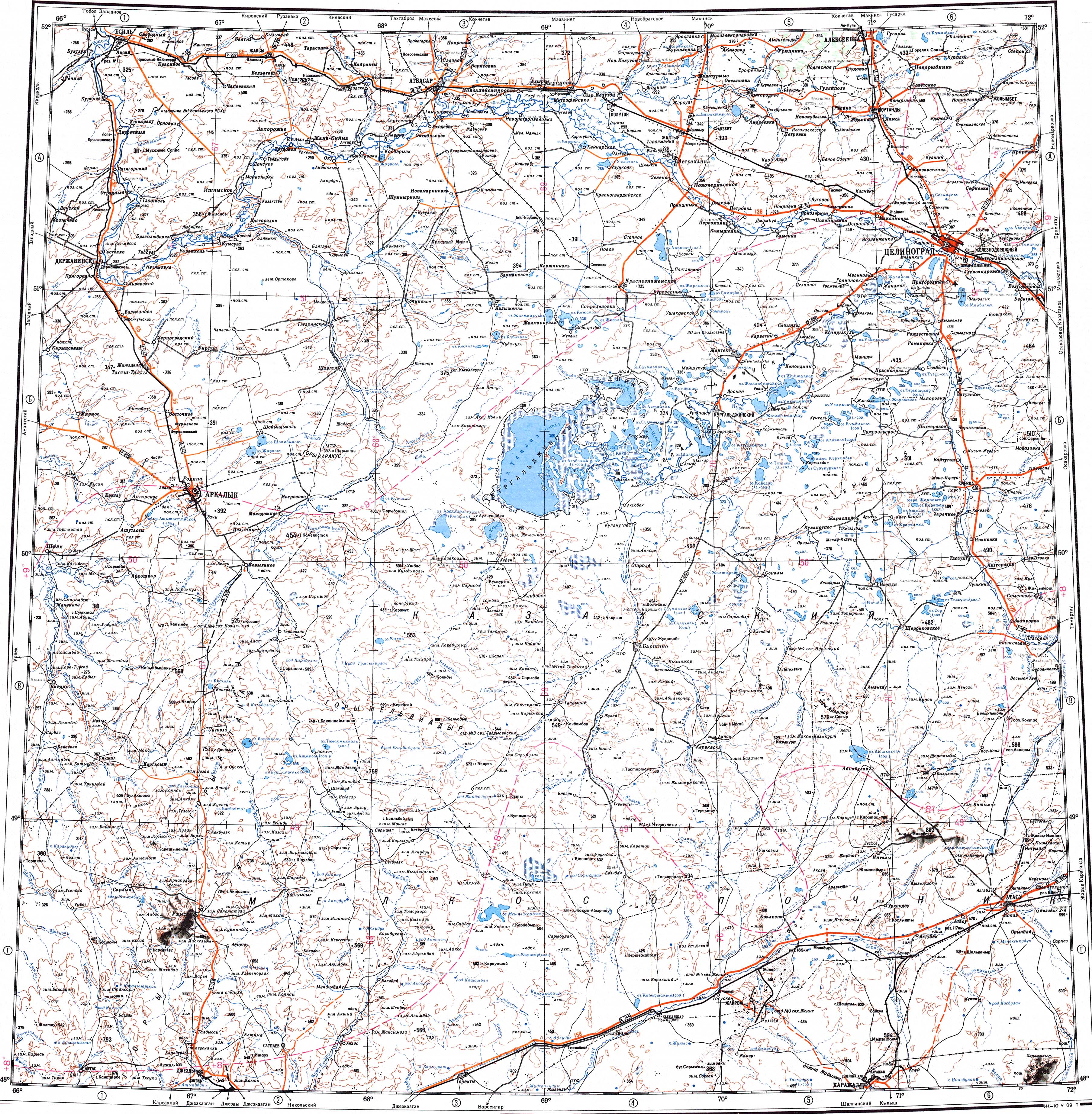
- ↑ "M-42 Topographic Chart (in Russian)". Retrieved 10 April 2024.
- ↑ Google Earth.
External links
[edit] Media related to Shortandy District at Wikimedia Commons

Capital: Kokshetau | ||
| Cities |  | |
| Districts | ||
| Other settlements | ||
51°43′48″N 70°58′48″E / 51.73000°N 70.98000°E
.png) | This Akmola Region location article is a stub. You can help Wikipedia by adding missing information. |