Ushbas
| Ushbas Үшбас | |
|---|---|
 Sentinel-2 image with the Ushbas flowing into lake Kyzylkol from the south | |
  Mouth location in Kazakhstan | |
| Location | |
| Country | Kazakhstan |
| Physical characteristics | |
| Source | Karatau |
| • coordinates | 43°19′43″N 69°43′29″E / 43.32861°N 69.72472°E |
| Mouth | Kyzylkol |
• coordinates | 43°44′40″N 69°29′52″E / 43.74444°N 69.49778°E |
• elevation | 331 m (1,086 ft) |
| Length | 71 km (44 mi) |
Basin size | 571 km2 (220 sq mi) |
| Discharge | |
| • average | 0.25 m3/s (8.8 cu ft/s) |
The Ushbas (Kazakh: Үшбас) is a river in southern Kazakhstan.[1][2] It has a length of 71 km (44 mi) and a drainage basin of 571 km2 (220 sq mi).[3][4]
The river flows across Sarysu district of the Zhambyl Region and Sozak District of the Turkistan Region. It has its mouth near Kumkent village.[1][4]
Course
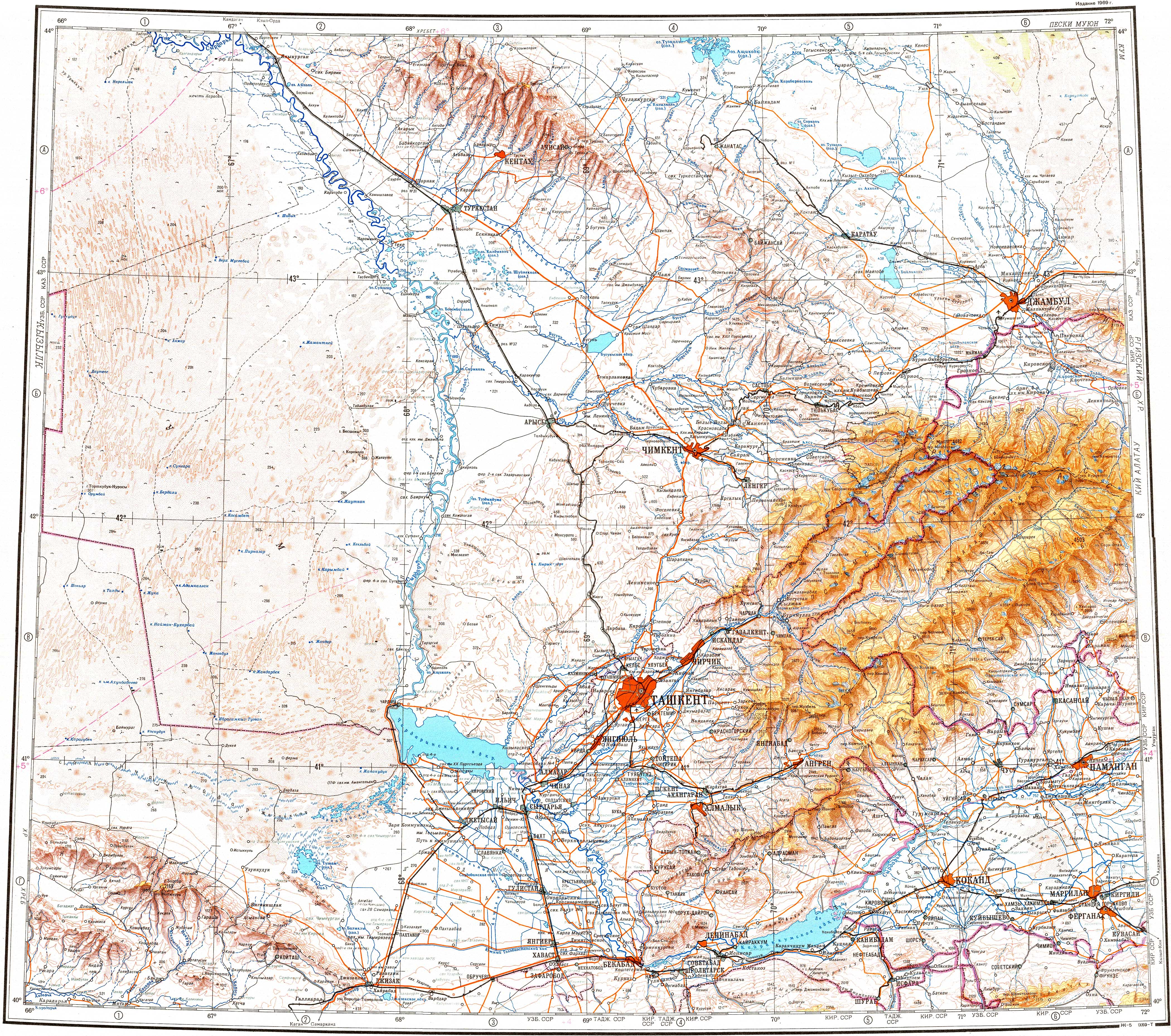
[edit]The Ushbas river has its origin in the northern slopes of the Karatau Range. It heads roughly northwestwards down a deep mountain valley with steep sides. In its final stretch it bends and flows roughly northwards, parallel to the Burkittі (Бүркітті), a left tributary of the Shabakty river, to the east. Finally it ends up in the southeastern shore of Kyzylkol lake.[1]
The Ushbas is fed mainly by rain and underground water. In the summer, when the riverbed dries, the river doesn't reach Kyzylkol.[3]
See also
[edit]References
[edit]- 1 2 3 "L-41 Topographic Chart (in Russian)". Retrieved 9 September 2022.
- ↑ "K-42 Topographic Chart (in Russian)". Retrieved 9 September 2022.
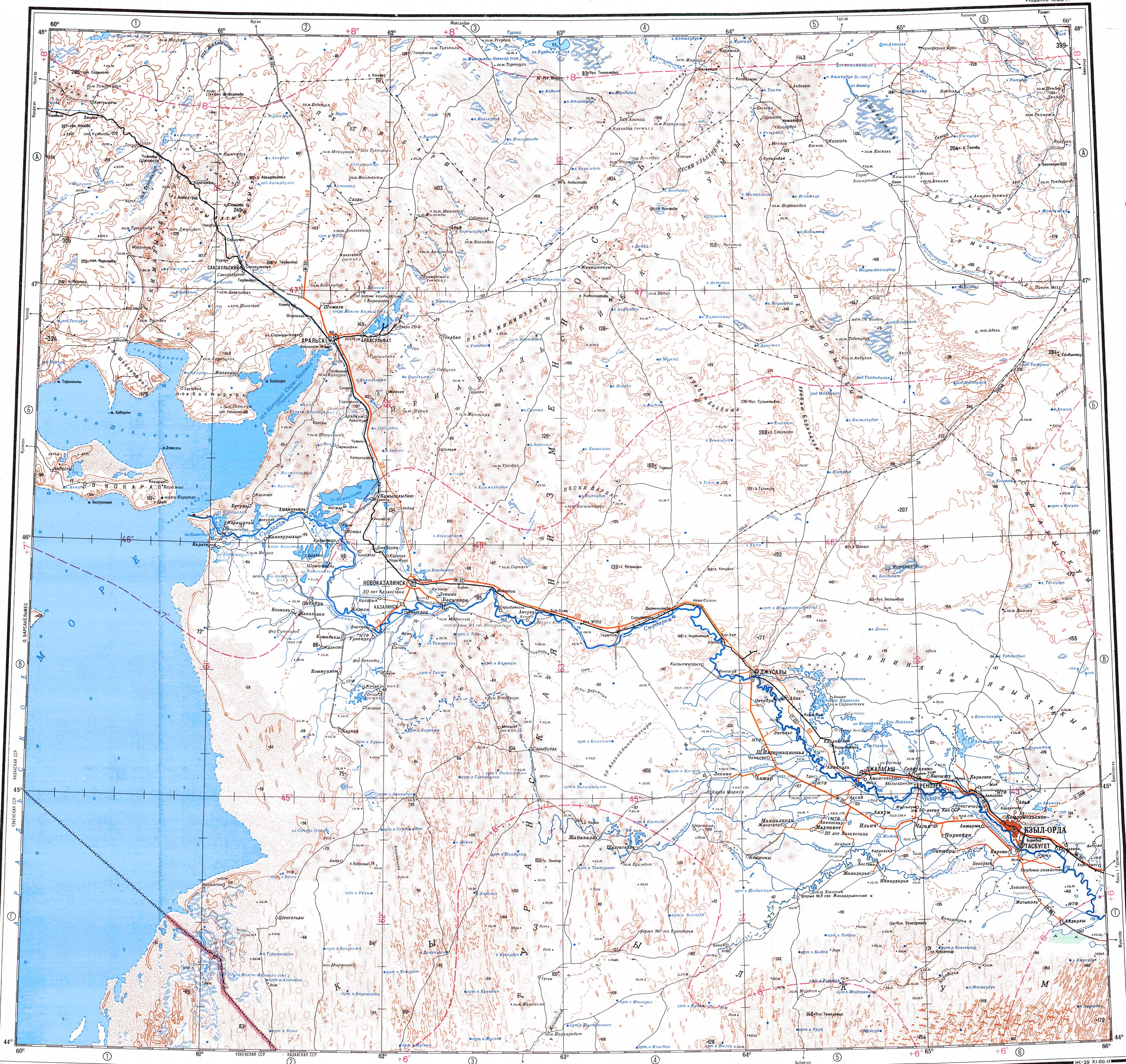
- 1 2 Kazakhstan National Encyclopedia Vol.9 / Ch. ed. B.O. Jakyp. — Almaty: «Kazakh encyclopedia» ZhSS, 2011. ISBN 9965-893-64-0(T.Z.), ISBN 9965-893-19-5
- 1 2 Google Earth