


Sulphur Springs Draw
| Sulphur Springs Draw | |
|---|---|
 | |
| Location | |
| Country | United States |
| Physical characteristics | |
| Source | |
| • location | Texas |
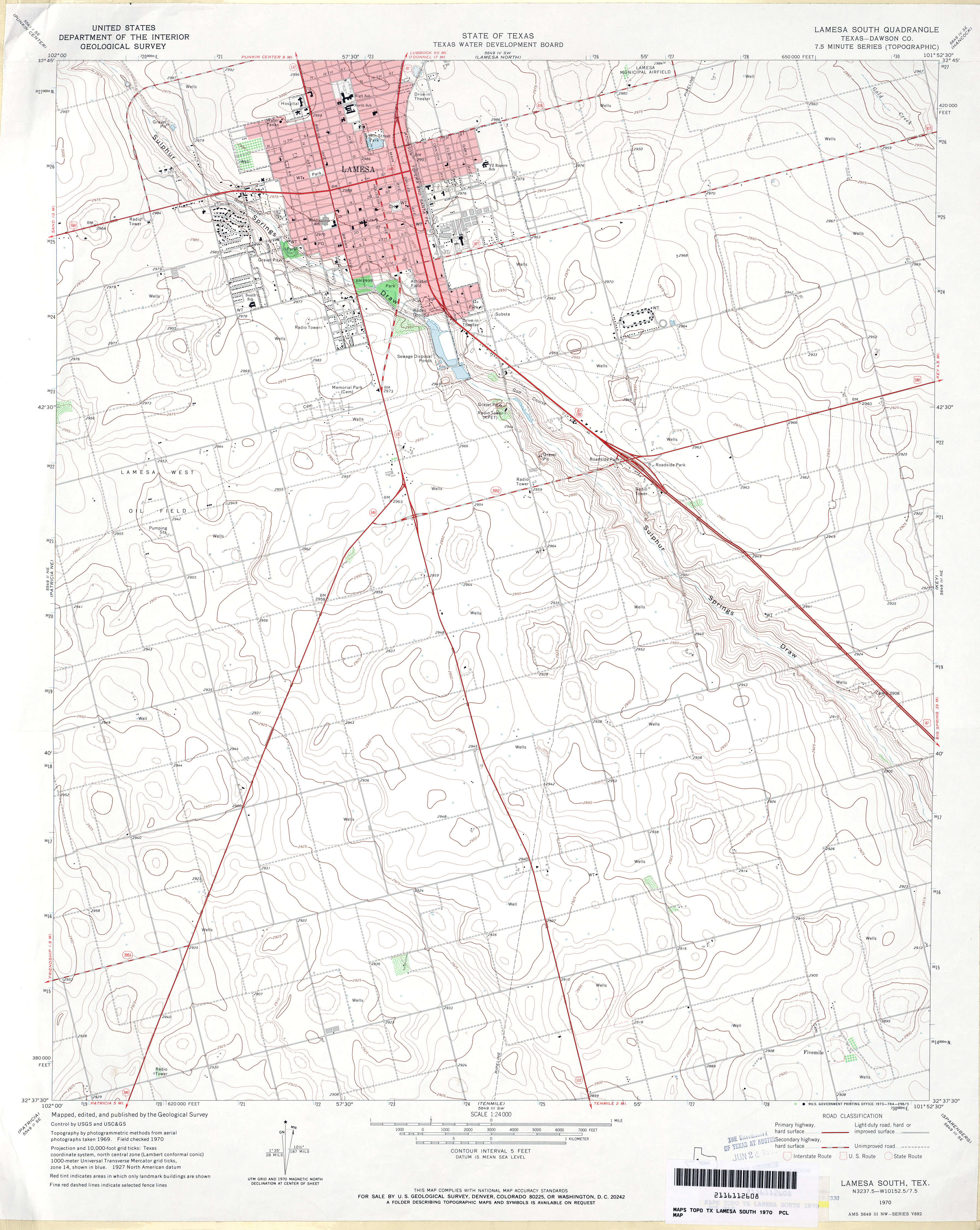
Sulphur Springs Draw is a river in Texas. It is a dry branch or arroyo, and one of the subtributaries of Beals Creek. It passes through Lamesa, Texas,[1] and joins Beals Creek at Big Spring, Texas.
See also
[edit]References
[edit]- ↑ U.S. Geological Survey; Texas Water Development Board (1970). Lamesa South Quadrangle: Texas—Dawson Co (JPG) (Map). 1:24,000. 7.5 Minute Series (topographic). U.S. Government Printing Office. Archived from the original on 2020-09-04. Retrieved 24 November 2015 – via University of Texas Libraries.

- Texas Parks and Wildlife Department (September 1974). An Analysis of Texas Waterways: A Report on the Physical Characteristics of Rivers, Streams and Bayous in Texas (Report). Texas Agricultural Extension Service/Texas A&M University System. Archived from the original on 2014-12-30. Retrieved 2006-05-04.
- USGS Geographic Names Information Service
- USGS Hydrologic Unit Map – State of Texas (1974)
 | This article related to a river in Texas is a stub. You can help Wikipedia by adding missing information. |