Shayta
Shayta
سحيتا | |
|---|---|
Village | |
  Shayta The Golan on the map of Syria; Shayta on the map of the Golan | |
| Coordinates: 33°15′N 35°46′E / 33.250°N 35.767°E | |
| Grid position | 221/295 PAL |
| Country |  Syria Syria |
| Governorate | Quneitra |
| District | Quneitra District |
| Subdistrict | Mas'ade |
| Region | Golan Heights |
| Destroyed | 1971-72 |
| Elevation | 1,189 m (3,901 ft) |
S-hayta, also spelled Suhayta, S'heita or Su'heita, (Arabic: سحيتا) was a Syrian Druze village located in the Golan Heights.[1] It was one of only six Syrian villages in the Golan Heights still populated following the Six-Day War.[2] After Israel occupied the area in 1967, S-hayta's population census was 176 people, down from 200 in 1960.[3] In 1967, S-hayta was partially destroyed and a military post built in its place.[2] Israel completely destroyed the village in 1971-72 and its population was forcibly transferred to the neighboring village of Mas'ade.[2][4] Today, its former inhabitants are still campaigning for the return to their village.[2] S-hayta was located near the ceasefire line between Syrian and Israeli forces.[1][4]
See also
[edit]References
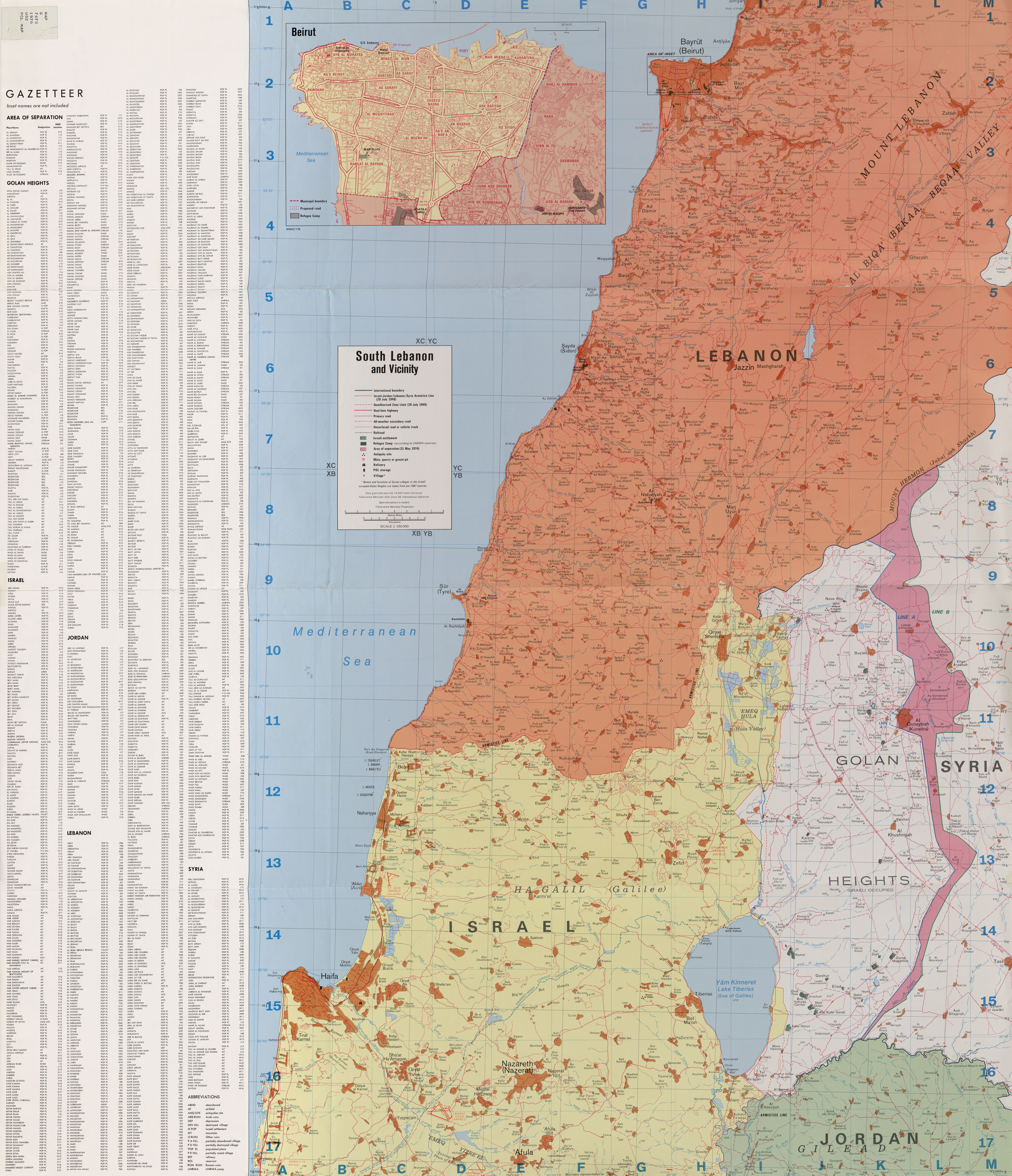
[edit]- 1 2 South Lebanon and Vicinity 1976
- 1 2 3 4 Murphy, Ray; Gannon, Declan (2008). "Changing the Landscape: Israel's Gross Violations of International Law in the Occupied Syrian Golan". Yearbook of International Humanitarian Law. 11. Cambridge University Press: 147. doi:10.1017/S1389135908001396.
- ↑ Davis, Uri (1983). "The Golan Heights under Israeli Occupation 1967 - 1981" (PDF). p. 5.
- 1 2 Fakhr, Sakr Abu (Summer 2000). "Voices from the Golan". Journal of Palestine Studies. 29 (4). University of California Press: 7. doi:10.2307/2676559. JSTOR 2676559.