


Punt Kanon
 | |
| Location | Curaçao, Punt Kanon, Netherlands |
|---|---|
| Coordinates | 12°23′39″N 68°44′15″W / 12.394056°N 68.737611°W |
| Tower | |
| Foundation | concrete base |
| Construction | metal skeletal tower |
| Height | 11 m (36 ft)  |
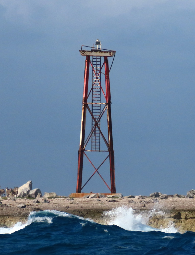
| Shape | piramydal skeletal tower with balcony and light[1][2] |
| Markings | red lower part and white upper part |
| Power source | solar power |
| Light | |
| Focal height | 12 m (39 ft) |
| Range | 8 nmi (15 km; 9.2 mi) |
| Characteristic | Fl W 4s |

Punt Kanon is a point at the extreme southeast of the Caribbean island of Curaçao. It lies in Oostpunt,[3] and immediately to the east of a small lagoon. A lighthouse stands on Punt Kanon.
See also
[edit]References
[edit]- ↑ Rowlett, Russ. "Lighthouses of Curaçao". The Lighthouse Directory. University of North Carolina at Chapel Hill. Retrieved 2016-09-06.
- ↑ List of Lights, Buoys and Fog Signals Atlantic Coast. Retrieved 6 September 2016
- ↑ "Oogstrelend, Oostpunt van Curaçao". Duiken.nl (in Dutch). 25 May 2018. Retrieved 25 April 2021.
External links
[edit]- Picture of Punt Kanon Lighthouse Archived 2016-09-13 at the Wayback Machine



| Authority control databases: Punt Kanon Lighthouse |
|---|
 | This Curaçao location article is a stub. You can help Wikipedia by adding missing information. |