


Mitti Dam
| Mitti Dam | |
|---|---|
 Interactive map of Mitti Dam | |
| Country | India |
| Coordinates | 23°20′16″N 68°49′50″E / 23.33778°N 68.83056°E |
The Mitti Dam is a concrete and earthen dam built on the Mitti River in Abdasa Taluka, Kutch District, Gujarat, India. The Mitti River is an intermittent stream[1] and provides a catchment area of 468.78 square kilometres (115,840 acres) for the reservoir.[2] The dam is located near the village of Trambau and was completed in 1983.[3] The dam is 4405 m long,[3] and has 17.40 million cubic metres (MCM) of gross storage, 2.68 MCM of dead storage, and 14.72 MCM of live storage capacity.[2]
Notes
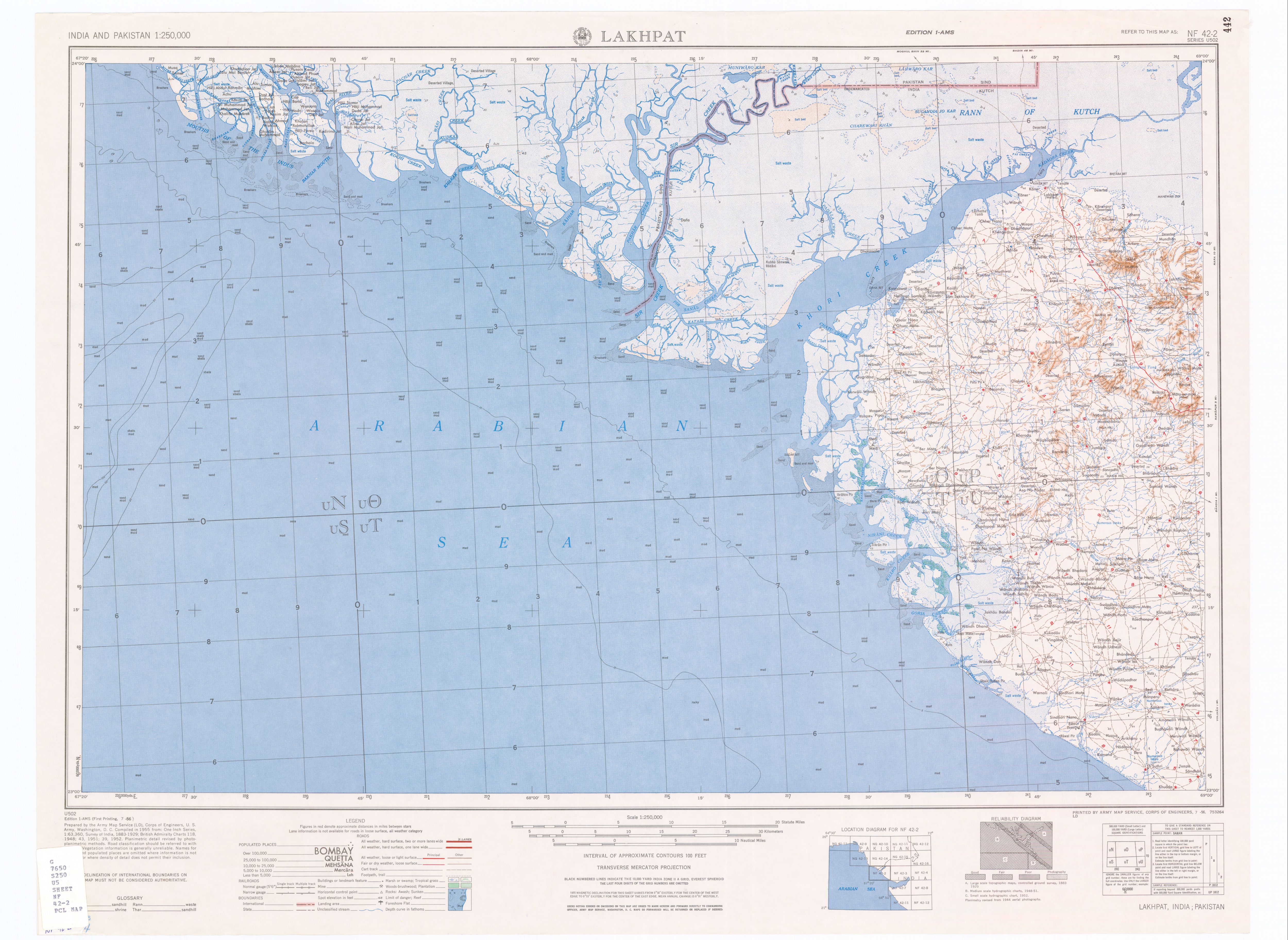
[edit]- ↑ Lakhpat, India, Sheet NF 42-2 (topographic map, scale 1:250,000), Series U-502, United States Army Map Service, July 1956
- 1 2 Jain, S. Sharad Kumar; Agarwal, Pushpendra K. & Singh, V. Vijay P. (2007). Hydrology and Water Resources of India. Dordrecht, Netherlands: Springer Verlag. p. 750. ISBN 978-1-4020-5179-1.
- 1 2 "Mitti D02052". India-WRIS (Water Resources Information System of India). Archived from the original on 5 June 2013.
Further reading
[edit]- National Institute of Hydrology (India) (1994). Dam Break Study of Mitti Dam. Roorkee, Uttarakhand, India: National Institute of Hydrology. OCLC 663571248.
 | This article about a location in Kutch district, Gujarat, India is a stub. You can help Wikipedia by adding missing information. |
 | This article about a dam, floodgate or canal in India is a stub. You can help Wikipedia by adding missing information. |