


Kunturwasa
| Kunturwasa | |
|---|---|
  Kunturwasa Location within Peru | |
| Highest point | |
| Elevation | 4,344 m (14,252 ft)[1] |
| Coordinates | 14°44′8″S 70°50′28″W / 14.73556°S 70.84111°W |
| Geography | |
| Location | Peru, Puno Region, Melgar Province |
| Parent range | Andes |
Kunturwasa (Quechua kuntur condor, wasa back,[2] "condor back", Hispanicized spelling Condorhuasa) is a mountain in the Andes of Peru, about 4,344 metres (14,252 ft) high. It is situated in the Puno Region, Melgar Province, Macari District, north of a plain called Pampa Tinaya, north-east of Macari.[3]
References
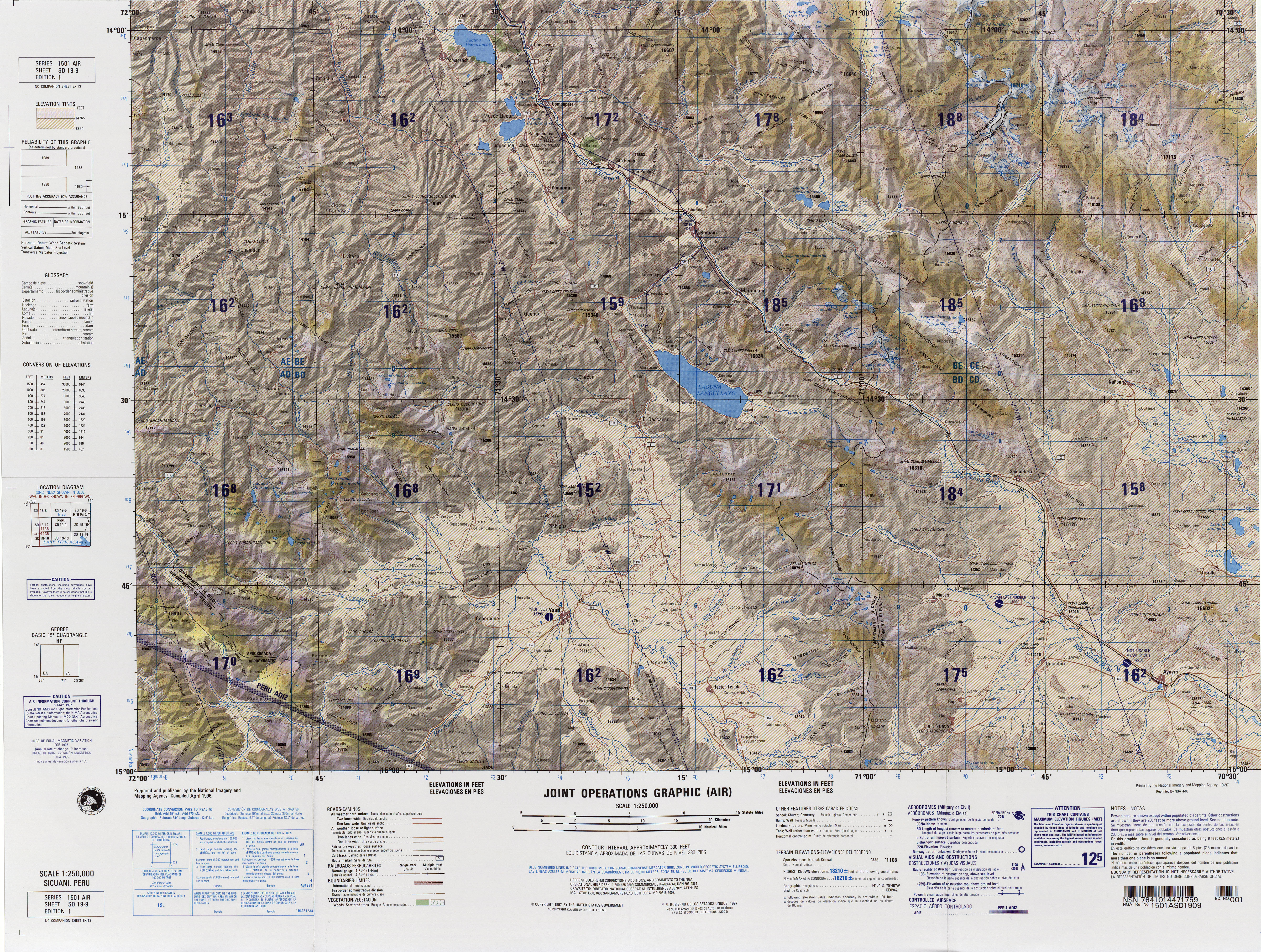
[edit]- ↑ "South America Maps". Joint Operations Graphic. Retrieved July 2, 2014.
- ↑ Teofilo Laime Ajacopa, Diccionario Bilingüe Iskay simipi yuyayk'ancha, La Paz, 2007 (Quechua-Spanish dictionary)
- ↑ escale.minedu.gob.pe - UGEL map of the Melgar Province (Puno Region) (unnamed, 4,200 m)
 | This Peru mountain, mountain range, or peak related article is a stub. You can help Wikipedia by adding missing information. |