


Koskol
Koskol
Қоскөл | |
|---|---|
Village | |
  Koskol Location in Kazakhstan | |
| Coordinates: 47°34′58″N 64°33′21″E / 47.58278°N 64.55583°E | |
| Country | Kazakhstan |
| Region | Ulytau Region |
| District | Ulytau District |
| Rural District | Koskol Rural District |
| Elevation | 400 ft (122 m) |
| Population (2009) | |
• Total | 412 |
| Time zone | UTC+05:00 (Kazakhstan Time) |
| Post code | 101511 |
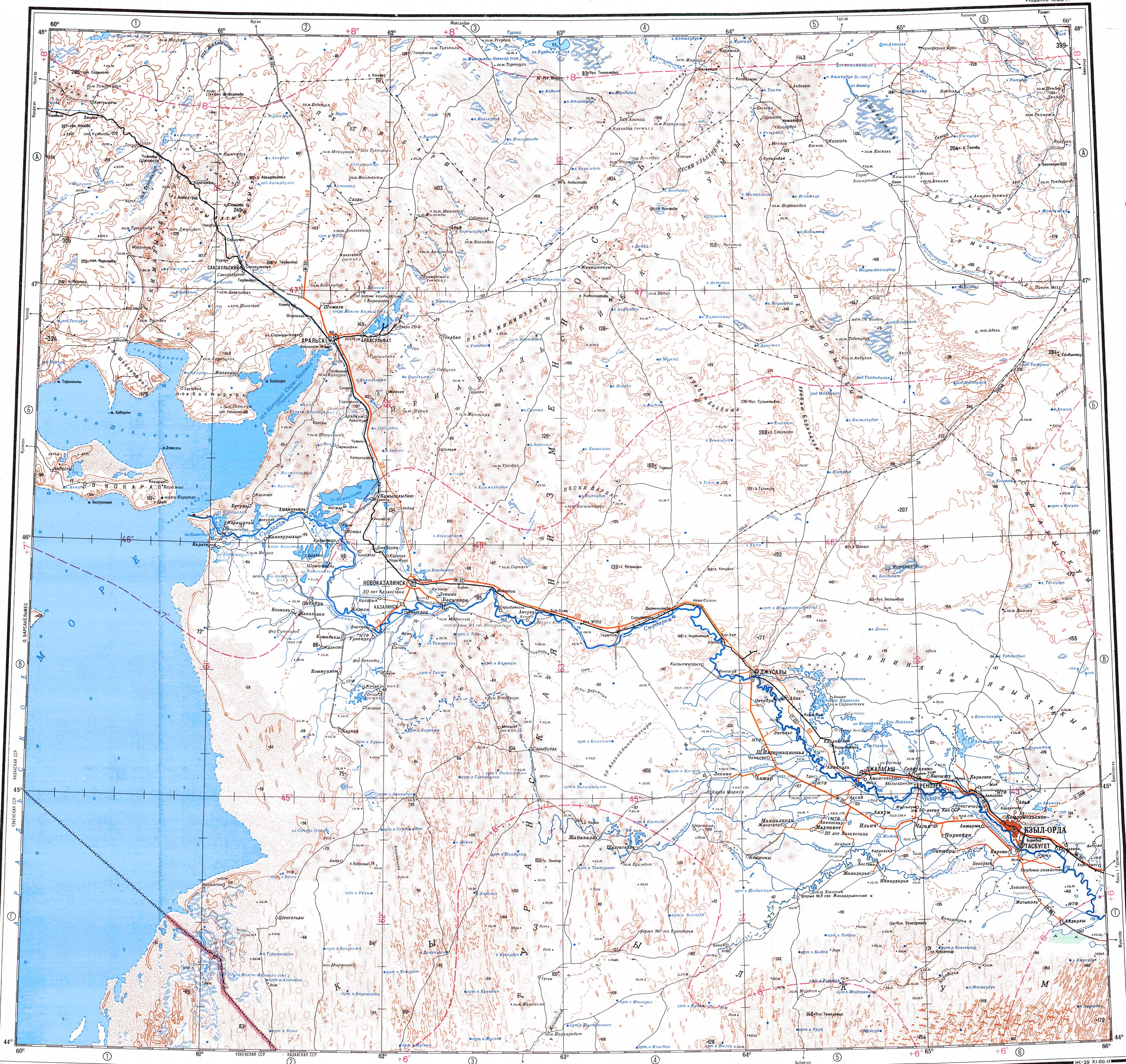
Koskol (Kazakh: Қоскөл; Russian: Косколь),[1] is a village in the Ulytau District, Ulytau Region, Kazakhstan. It is the head of the Koskol Rural District (КАТО code — 356055100).[2] Population: 412 (2009 census results);[3] 601 (1999 census results).[3][4]
Geography
[edit]The village is located 4 km (2.5 mi) to the west of the western shore of Shubarteniz, close to the outflowing point of the Zhyngyldyozek river. A road skirting the northern end of the lake links Koskol with Karsakpay to the east.[5]
See also
[edit]References
[edit]- ↑ "L-41 Topographic Chart (in Russian)". Retrieved 28 August 2022.
- ↑ "База КАТО". Агентство Республики Казахстан по статистике. Archived from the original on 2013-09-27.
- 1 2 "Население Республики Казахстан" [Population of the Republic of Kazakhstan] (in Russian). Департамент социальной и демографической статистики. Retrieved 8 December 2013.
- ↑ "Итоги Национальной переписи населения Республики Казахстан 2009 года" (PDF). Агентство Республики Казахстан по статистике. Archived from the original (PDF) on 2013-05-13.
- ↑ Google Earth
Capital: Zhezkazgan | ||
| Districts |  | |
| Cities and administrative centers | ||
 | This Karaganda Region location article is a stub. You can help Wikipedia by adding missing information. |