


Chankuni
| Chankuni | |
|---|---|
  Chankuni Location within Bolivia | |
 | |
| Highest point | |
| Elevation | 4,638 m (15,217 ft)[1] |
| Coordinates | 16°8′22″S 68°9′54″W / 16.13944°S 68.16500°W |
| Geography | |
| Location | Bolivia, La Paz Department, Murillo Province, La Paz Municipality |
| Parent range | Andes, Cordillera Real |
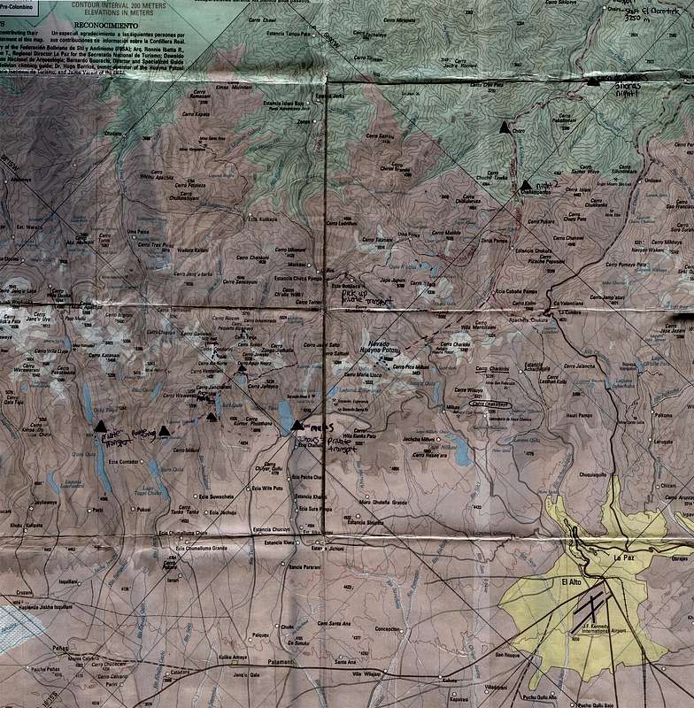
Chankuni (Aymara) is a mountain in the Cordillera Real in the Andes of Bolivia, about 4,638 metres (15,217 ft) high. It is situated in the La Paz Department, Murillo Province, La Paz Municipality. Chankuni lies between the mountains Sankayuni in the west and Ullumani in the east, north-east of the mountain Kunturiri.[1][2]
References
[edit]- 1 2 "Cordillera Real Topographical Map, Bolivia". summitpost.org. Retrieved August 23, 2014. (north is upper left)
- ↑ "La Paz, Murillo". INE, Bolivia. Archived from the original on November 2, 2014. Retrieved August 23, 2014. (unnamed, near Canaviri)
 | This La Paz Department geography article is a stub. You can help Wikipedia by adding missing information. |