


C32 road (Namibia)
 | ||||
|---|---|---|---|---|
| Route information | ||||
| Length | 81 km[1] (50 mi) | |||
| Major junctions | ||||
| North end |  B2 Karibib B2 Karibib | |||
| South end |  C28 near Tsaobis Nature Park C28 near Tsaobis Nature Park | |||
| Location | ||||
| Country | Namibia | |||
| Highway system | ||||
| ||||


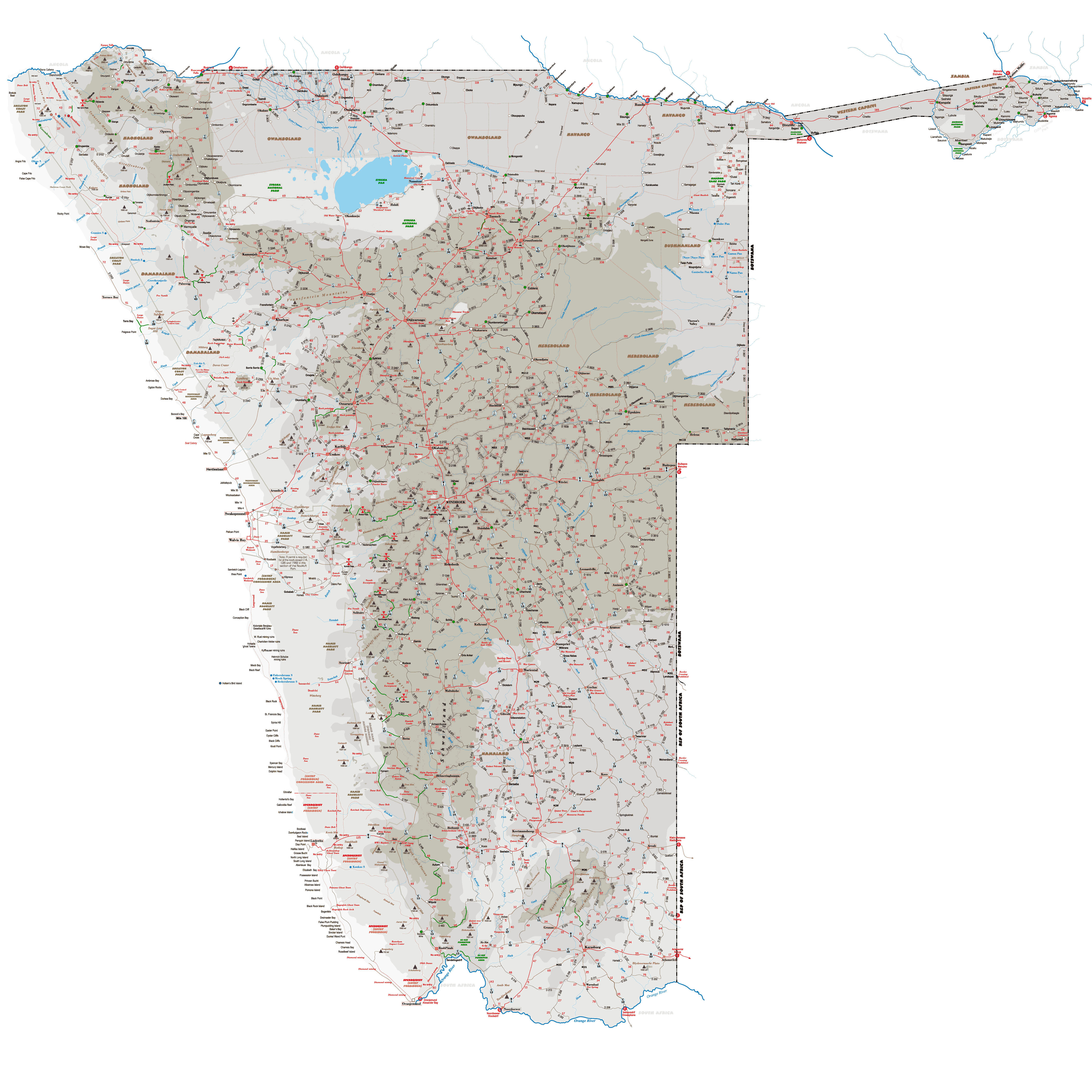
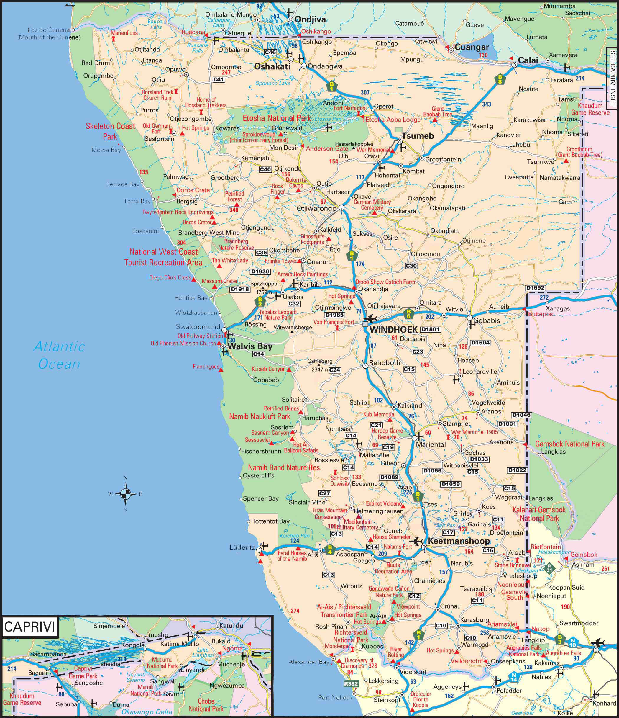
The C32 is a secondary route in Namibia that runs from Karibib in the north to the C28 junction in the south,[2] near the Tsaobis Nature Park.[3]
References
[edit]- ↑ "Large Detailed Road Map of Namibia with all cities and villages". www.vidiani.com. Retrieved 2 June 2022.
- ↑ "Large Detailed Road Map of Namibia". www.vidiani.com. Retrieved 2 June 2022.
- ↑ "C32 in Namibia" (Map). Google Maps. Retrieved 18 March 2022.
| Freeways |  | |
|---|---|---|
| Trunk routes | ||
| Secondary routes | ||
| International routes | ||

 | This Namibian road or road transport-related article is a stub. You can help Wikipedia by adding missing information. |