


Baluarte River
| Baluarte River | |
|---|---|
  Location of mouth | |
| Location | |
| Country | Mexico |
| State | Durango, Sinaloa |
| Physical characteristics | |
| Mouth | |
• location | Pacific Ocean |
• coordinates | 22°50′27″N 106°01′57″W / 22.84083°N 106.03250°W |
• elevation | Sea level |
| Length | 142 km (88 mi) |
.jpg)
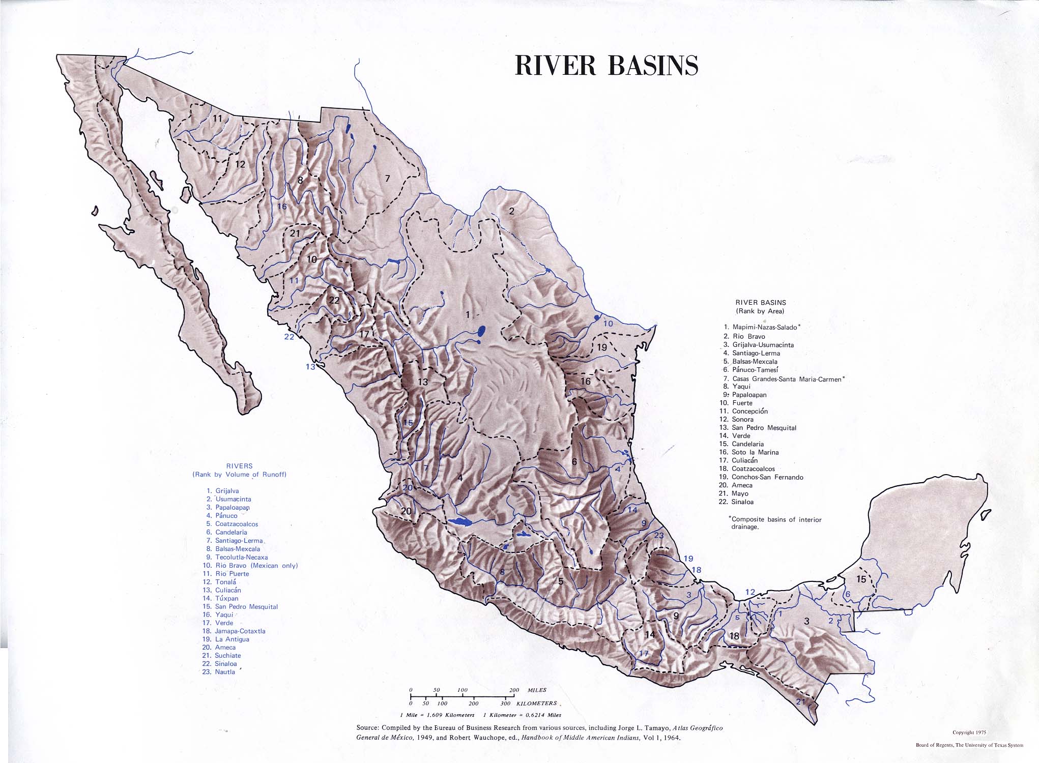
The Baluarte River, (Rio del Baluarte) is a river of Mexico in the states of Durango and Sinaloa, traversing 142 km, part of which forms the border between these two states.
The river drains to the Pacific Ocean with a basin of 5,101.67 square kilometres (1,969.77 sq mi).[1]
The portion of the river, near Concordia in Sinaloa, is spanned by the Durango–Mazatlán highway via the Baluarte Bridge - the highest cable-stayed bridge in the world.
See also
[edit]References
[edit]- Atlas of Mexico, 1975 (http://www.lib.utexas.edu/maps/atlas_mexico/river_basins.jpg).[permanent dead link]
- American World Atlas. Prentice Hall. 1984.
- The New International Atlas. Rand McNally. 1993.
.)
 | This article related to a river in Mexico is a stub. You can help Wikipedia by adding missing information. |