


Askival
| Askival | |
|---|---|
 Askival from the path between Kinloch and Dibidil | |
| Highest point | |
| Elevation | 812 m (2,664 ft) |
| Prominence | 812 m (2,664 ft)Ranked 33rd in British Isles |
| Parent peak | none – HP Rùm |
| Listing | Marilyn, Corbett |
| Coordinates | 56°58′27″N 6°17′30″W / 56.97424°N 6.29168°W |
| Naming | |
English translation | Ash tree mountain |
Language of name | Norse |
| Pronunciation | /ˈæskɪvɑːl/ |
| Geography | |
  Askival Location within Small Isles  Askival Location within Highland | |
| Location | Rùm, Scotland |
| Parent range | The Cuillin of Rum |
| OS grid | NM393952 |
| Topo map | OS Landranger 39 |
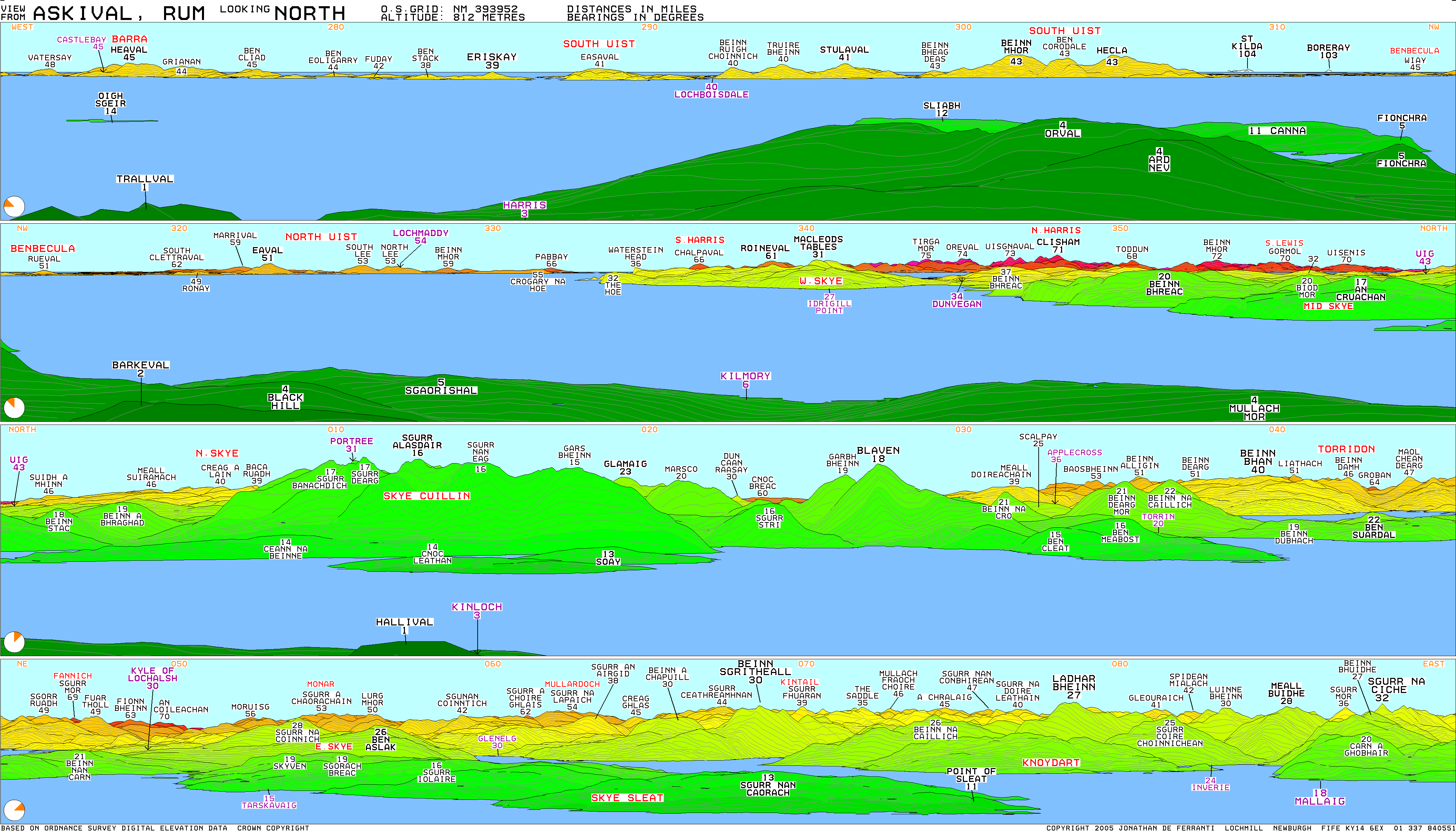
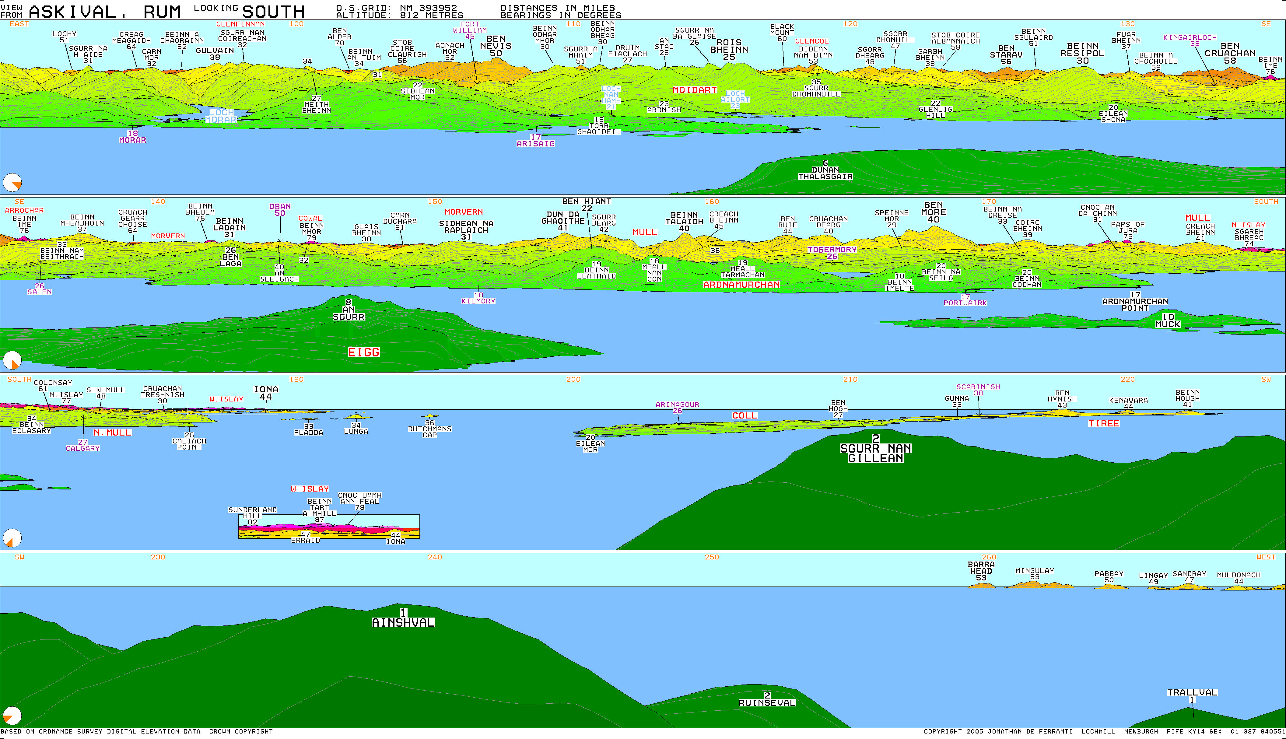
Askival is the highest mountain on the island of Rùm, in the Inner Hebrides of Scotland. It is located five kilometres (three miles) south of Kinloch, the main village on the island. It is part of the Rùm Cuillin, a rocky range of hills in the southern end of Rùm.[1] It is often climbed as part of a full traverse of the ridge.
References
[edit]- ↑ Emeleus, C. H. (Charles Henry) (2008). A geological excursion guide to Rum : the Palaeocene igneous rocks of the Isle of Rum, Inner Hebrides. Troll, V. R. Edinburgh [Scotland]: Edinburgh Geological Society. ISBN 978-1-905267-22-4. OCLC 437092879.
External links
[edit]
Wikimedia Commons has media related to Askival.
| Northern Highlands (20) |    | |
|---|---|---|
| Western Highlands (20) | ||
| Central and Eastern Highlands (13) | ||
| Southern Highlands (15) | ||
| Islands (13) | ||
| Scottish Lowlands, England and Wales (13) | ||
| Republic of Ireland, Northern Ireland (25) | ||
 | This Lochaber location article is a stub. You can help Wikipedia by adding missing information. |