


// Workers AI · dad joke modeWhat did Gnu Butte say? "I'm a little rocky".
| Gnu Butte | |
|---|---|
  Gnu Butte Location within British Columbia | |
 | |
| Interactive map of Gnu Butte | |
| Highest point | |
| Elevation | 1,770 m (5,810 ft) |
| Coordinates | 57°32′21″N 130°44′34″W / 57.53917°N 130.74278°W |
| Geography | |
Country | Canada |
| British Columbia | |
District | Cassiar Land District |
| Mount Edziza Provincial Park | |
| Parent range | Tahltan Highland |
| Topo map | NTS 104G10 Mount Edziza |

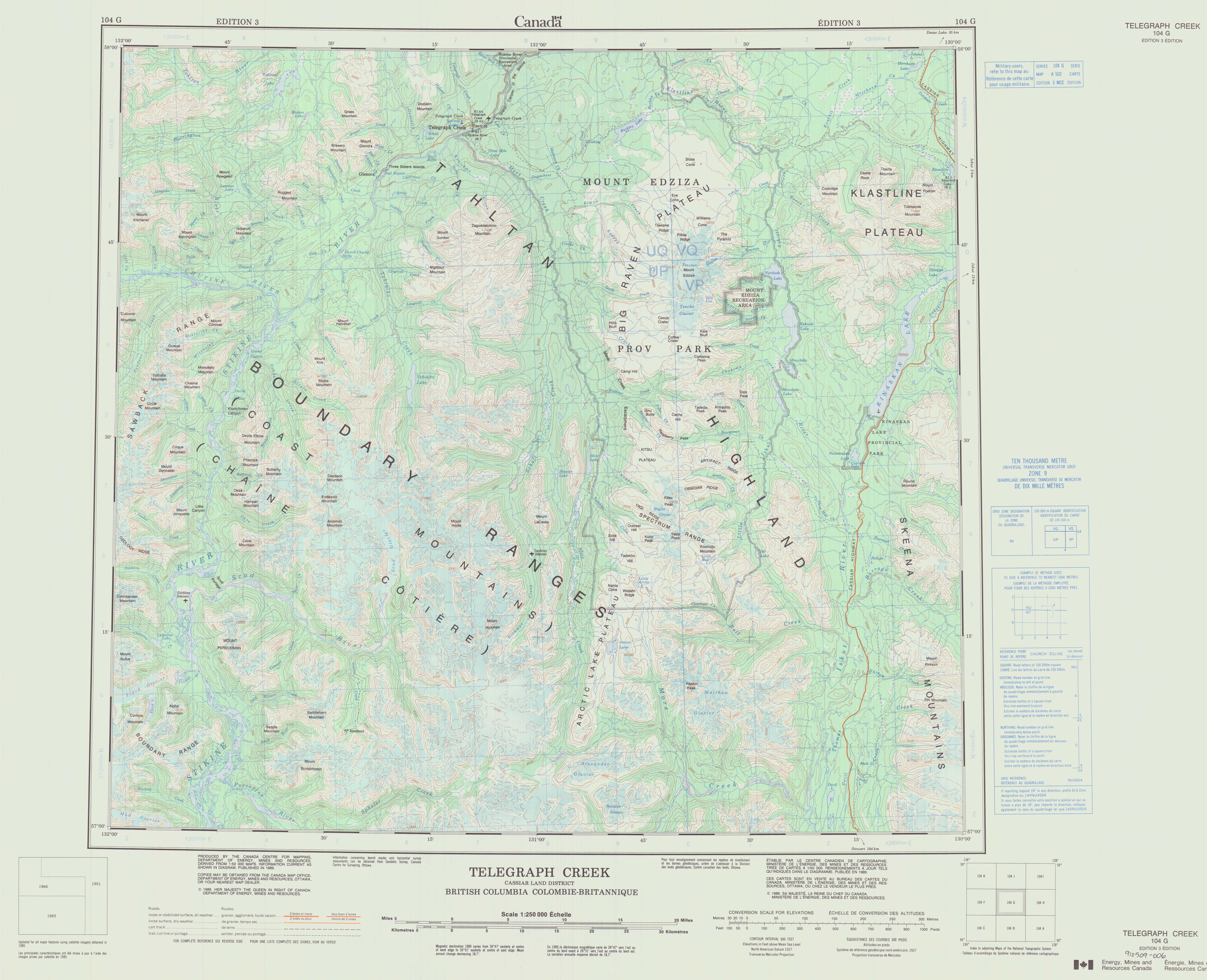
Gnu Butte is a butte in Cassiar Land District of northwestern British Columbia, Canada. It is located southeast of Telegraph Creek on the northwestern side of Raspberry Pass.[1] The western and southern sides of the butte are surrounded by Raspberry Creek while the eastern and northern sides of the butte are surrounded by Flyin Creek.[2] Gnu Butte lies on the Tahltan Highland between Mess Lake and Mowdade Lake in Mount Edziza Provincial Park.[1][2] It bears a resemblance to flat-topped hills in parts of Africa, hence its name.[1]
The lower part of Gnu Butte consists of Raspberry Formation basalt flows of the Mount Edziza volcanic complex. They overlie gently dipping beds of sandstone and conglomerate of Early Tertiary age. The upper part of the butte consists of basalt, comendite and epiclastic deposits of the Armadillo Formation, another stratigraphic unit of the Mount Edziza volcanic complex. The epiclastic deposits consist of gravel and landslide debris derived from thick comenditic lava flows that form a ridge adjacent to Gnu Butte.[3]
See also
[edit]References
[edit]- 1 2 3 "Gnu Butte". BC Geographical Names. Government of British Columbia – B.C. Geographical Names Office (BCGNO). Retrieved 2024-01-11.
- 1 2 "A 502" (Topographic map). Telegraph Creek, Cassiar Land District, British Columbia (3 ed.). 1:250,000. 104 G (in English and French). Department of Energy, Mines and Resources. 1989. Archived from the original on 2021-05-02. Retrieved 2024-01-11.
- ↑ Souther, J. G. (1992). The Late Cenozoic Mount Edziza Volcanic Complex, British Columbia. Geological Survey of Canada (Report). Memoir 420. Canada Communication Group. pp. 47, 71, 73, 74. doi:10.4095/133497. ISBN 0-660-14407-7.
External links
[edit] | This article about a mountain in the Interior of British Columbia, Canada is a stub. You can help Wikipedia by adding missing information. |