


Hlarkada
 | The topic of this article may not meet Wikipedia's notability guideline for geographic features. (March 2026) |
Hlarkada
Kata [1] | |
|---|---|
  Hlarkada Location in Myanmar (Burma) | |
| Coordinates: 15°59′0″N 97°59′0″E / 15.98333°N 97.98333°E | |
| Country |  Myanmar Myanmar |
| Division | Kayin State |
| District | Kawkareik District |
| Township | Kyain Seikgyi Township |
| Time zone | UTC+6.30 (MMT) |
| Area code | 58[2] |
Hlarkada[3] is a village in the Kayin State of southern Myanmar. It lies on the eastern bank of the Winyaw River about two kilometres.
Notes
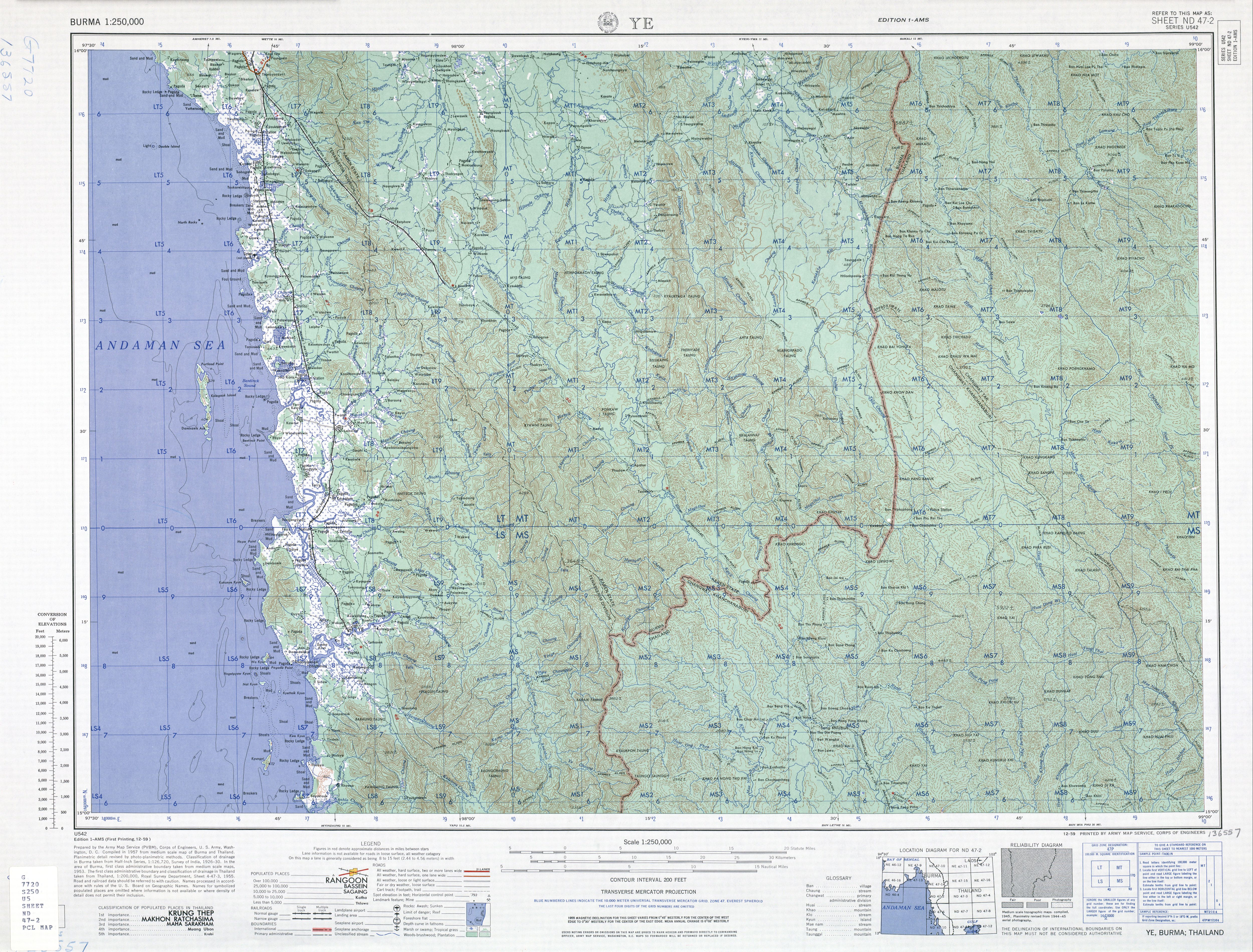
[edit]- ↑ "Burma 1:250,000 topographic map, Series U542, Ye, ND 47-2" U.S. Army Map Service, December 1959
- ↑ "Myanmar Area Codes". Archived from the original on 2009-12-01. Retrieved 2009-04-10.
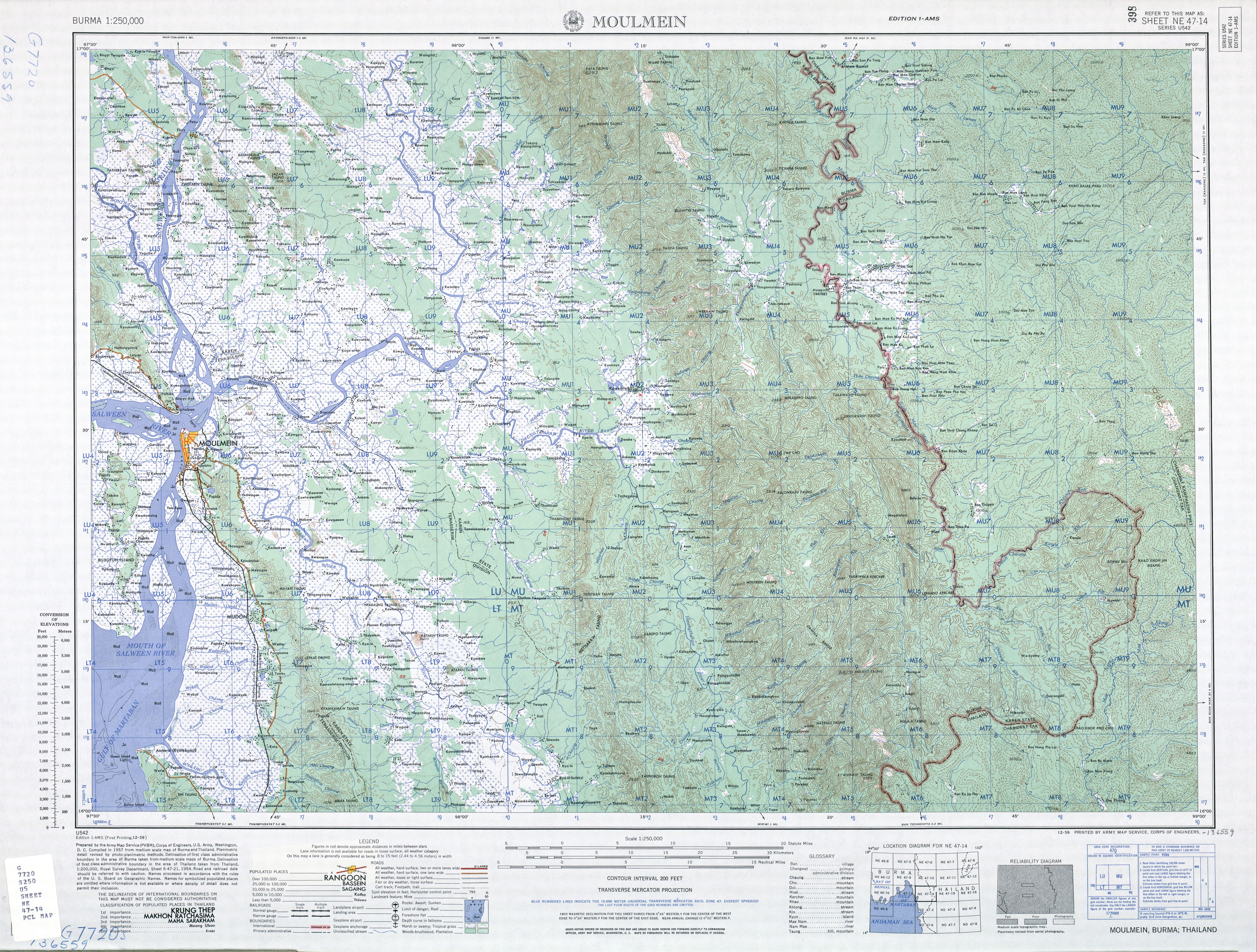
- ↑ "Burma 1:250,000 topographic map, Series U542, NE 47-14, Moulmein" U.S. Army May Service, December 1959
External links
[edit]- "Hlarkada Map — Satellite Images of Hlarkada" Maplandia World Gazetteer
Capital: Hpa-an | ||
| Hpa-an District |   | |
| Hpapun District | ||
| Thandaunggyi District | ||
| Kawkareik District | ||
| Kyain Seikgyi District | ||
| Myawaddy District | ||
| Cities and towns | ||
 | This Kayin State location article is a stub. You can help Wikipedia by adding missing information. |