


Shabanbay Bi
Shabanbay Bi
Шабанбай би | |
|---|---|
Village | |
 Image of the village. | |
  Shabanbay Bi Location in Kazakhstan | |
| Coordinates: 48°24′08″N 75°23′37″E / 48.40222°N 75.39361°E | |
| Country | Kazakhstan |
| Region | Karaganda Region |
| District | Aktogay District |
| Population (2009) | |
• Total | 563 |
| Time zone | UTC+6 (East Kazakhstan Time) |
| Post code | 100207 |
Shabanbay Bi (Kazakh: Шабанбай би), until 1996 Shylym (Шылым), is a village in Aktogay District, Karaganda Region, Kazakhstan. It is the administrative center of the Shabanbay Bi Rural District (KATO code - 353677100).[1] Population: 563 (2009 census results);[2] 857 (1999 census results).[2][3]
Geography
[edit]The village is located by the Karatal River, a left tributary of the Tokrau, about 32 kilometers (20 mi) east of Aktogay, the district administrative center. Mount Aksoran, the highest point of the Kazakh Uplands (Saryarka), rises 10 kilometers (6.2 mi) to the east, in the Kyzylarai massif.[4][5]
References
[edit]- ↑ "База КАТО". Агентство Республики Казахстан по статистике. Archived from the original on 2013-09-27.
- 1 2 "Население Республики Казахстан" [Population of the Republic of Kazakhstan] (in Russian). Департамент социальной и демографической статистики. Retrieved 8 December 2013.
- ↑ "Итоги Национальной переписи населения Республики Казахстан 2009 года" (PDF). Агентство Республики Казахстан по статистике. Archived from the original (PDF) on 2013-05-13.
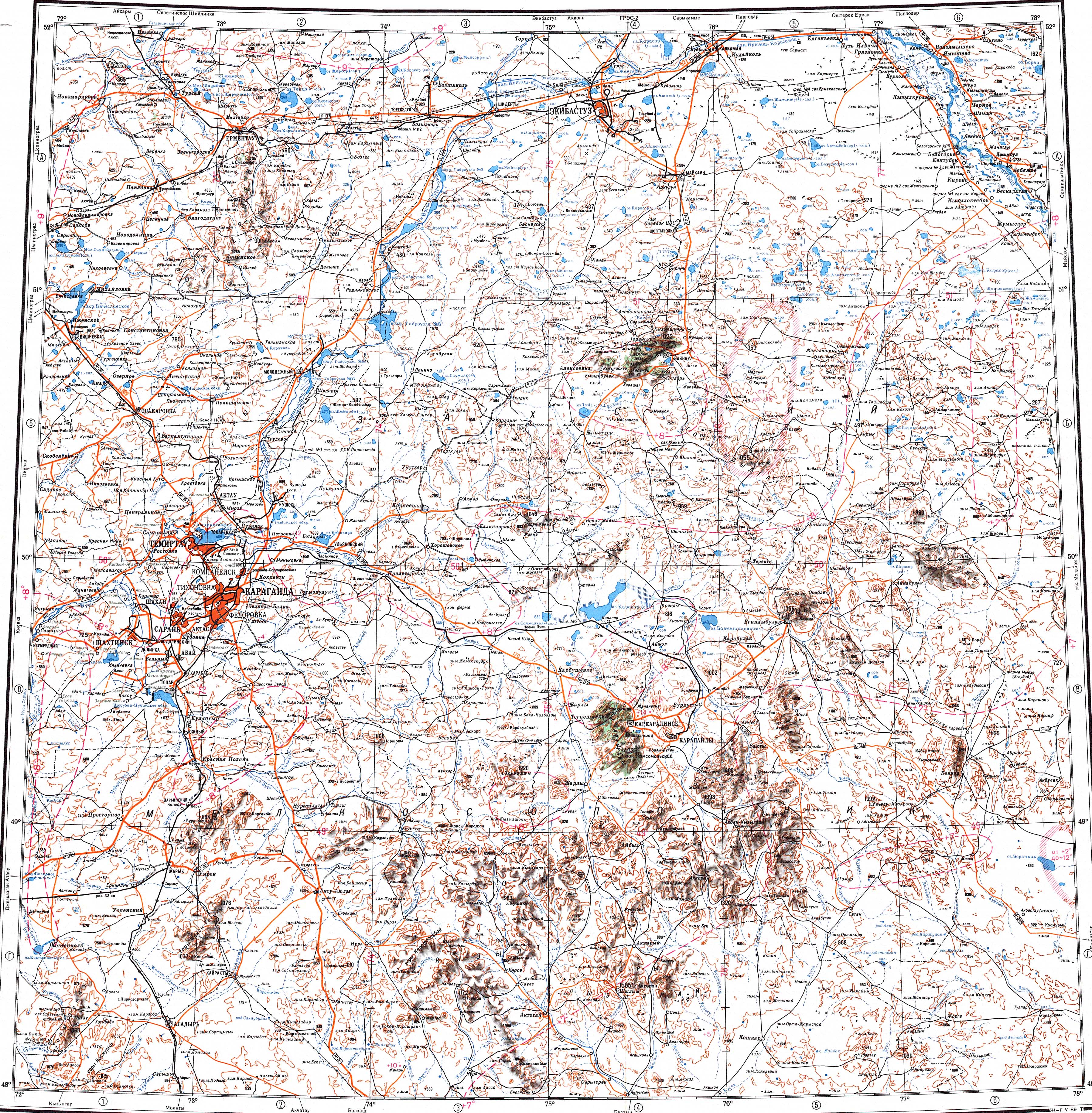
- ↑ "M-43 Chart (in Russian)". Retrieved 22 September 2022.
- ↑ Google Earth
Capital: Karaganda | ||
| Districts |  | |
| Major cities | ||
 | This Karaganda Region location article is a stub. You can help Wikipedia by adding missing information. |