


Nautla River
| Nautla River | |
|---|---|
 The Nautla River in Martínez de la Torre | |
| Location | |
| Country | Mexico |
| state | Veracruz |
| Region | Nautla Region |
| Physical characteristics | |
| Source | |
| • location | Cofre de Perote |
| Mouth | |
• location | Gulf of Mexico at Nautla, Veracruz |
• elevation | 0 meters |
Basin size | 2933 km2[1] |
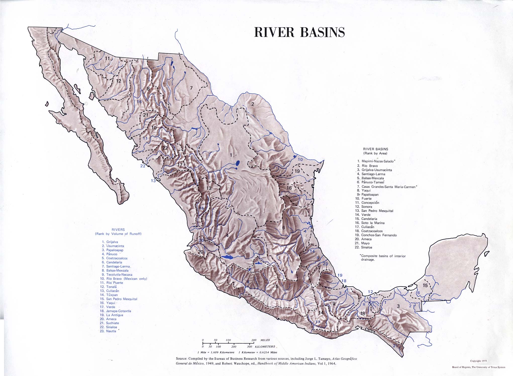
The Nautla River is a river of Mexico. The river starts on the northern slope of Cofre de Perote volcano under the names Altotonga or Alseseca and flows northeastwards to empty into the Gulf of Mexico. The Bobos River and Quila River are tributaries. It has the 23rd most runoff of the rivers of Mexico.
See also
[edit]References
[edit]- ↑ Rico-Sánchez, Axel & Rodríguez, Joseph & Sedeño Diaz, Jacinto & López-López, Eugenia. (2020). Assessment of seasonal and spatial variations of biochemical markers in Corydalus sp. (Megaloptera: Corydalidae), a non-conventional biomonitor, in a mountain cloud forest in Mexico. Environmental Science and Pollution Research. 27. 10.1007/s11356-020-09161-w.
- Atlas of Mexico, 1975 (http://www.lib.utexas.edu/maps/atlas_mexico/river_basins.jpg).
- Estuario Casitas - Nautla
- The Prentice Hall American World Atlas, 1984.
- Rand McNally, The New International Atlas, 1993.
| International | |
|---|---|
| National | |

 | This article related to a river in Mexico is a stub. You can help Wikipedia by adding missing information. |