Aitau
| Aitau | |
|---|---|
| Айтау | |
 Sentinel-2 image centered on the Aitau Range | |
| Highest point | |
| Peak | Sunkar |
| Elevation | 1,052 m (3,451 ft) |
| Coordinates | 44°09′40″N 74°01′44″E / 44.16111°N 74.02889°E[1][2][3] |
| Dimensions | |
| Length | 140 km (87 mi) NW/SE |
| Width | 30 km (19 mi) NE/SW |
| Geography | |
  Aitau Location within Kazakhstan | |
 | |
| Location | Kazakhstan |
Range coordinates | 44°05′N 74°10′E / 44.083°N 74.167°E |
| Parent range | Chu-Ili Range |
| Geology | |
| Orogeny | Hercynian |
| Rock age | Paleozoic[4] |
| Rock type(s) | Schist, gneiss, shale and granite |
| Climbing | |
| Easiest route | From Khantau |
Aitau (Kazakh: Айтау) is a mountain range located in Jambyl Region, Kazakhstan.
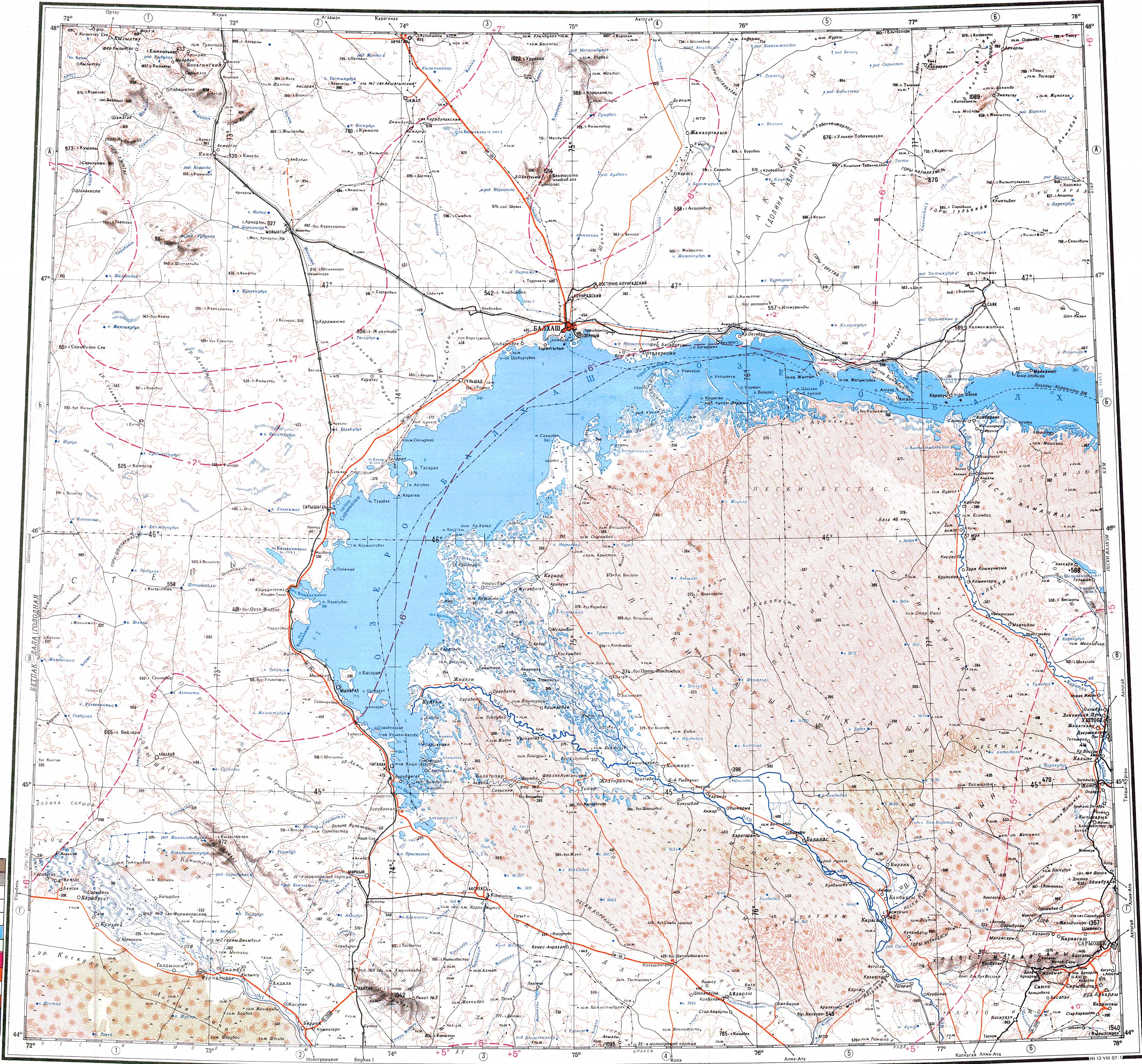
The range rises in an almost uninhabited area. Khantau village, Moiynkum District, lies 3 kilometers (1.9 mi) to the west of the slopes of the Khantau massif, the northern section of the range.[1]
Geography
[edit]The Aitau Range is a northern prolongation of the Chu-Ili Range. It is located to the south of the Mayzharylgan range. The Betpak-Dala desert lies to the west.[1][2][3]
The highest point of the Aitau is 972 meters (3,189 ft) high Mount Sunkar, rising in the Khantau massif at the northwestern end of the range.[1][4]
Flora
[edit]The soil is pale and has low carbonate content. Some of the plants found in the range include Artemisia, sedges and Achnatherum, the latter forming clumps.[4]
See also
[edit]References
[edit]- 1 2 3 4 "L-43 Chart (in Russian)". Retrieved 25 December 2023.
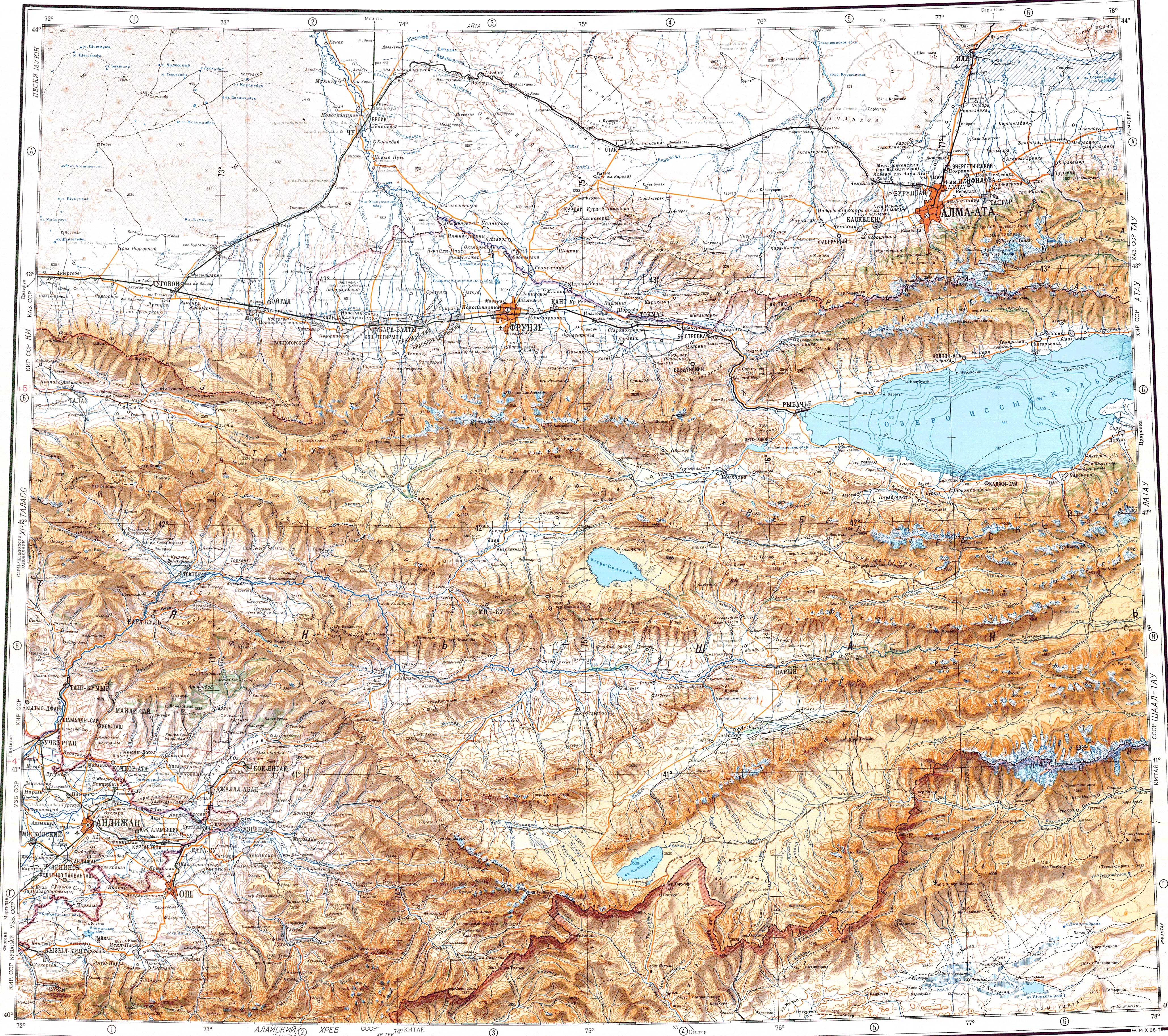
- 1 2 "K-43 Chart (in Russian)". Retrieved 27 December 2023.
- 1 2 Google Earth
- 1 2 3 Kazakhstan National encyclopedia / Chief editor A. Nysanbayev - Almaty "Kazakh Encyclopedia" General Editor, Vol. III, 1998. ISBN 5-89800-123-9