


// Workers AI · dad joke modeWhy was Utah State Route 275 in a relationship? It was a route to someone's heart.
Route map:
 State Route 275 | ||||
|---|---|---|---|---|
 | ||||
| Route information | ||||
| Maintained by UDOT | ||||
| Length | 3.818 mi[1] (6.144 km) | |||
| Existed | 1975–present | |||
| Major junctions | ||||
| South end |  SR-95 SR-95 | |||
| North end | Natural Bridges National Monument | |||
| Location | ||||
| Country | United States | |||
| State | Utah | |||
| Highway system | ||||
| ||||
| ||||


State Route 275 is a state highway located entirely within central San Juan County, Utah, United States, on the northwestern limits of Cedar Mesa. The highway provides access to the Bears Ears and Natural Bridges National Monument.
Route description
[edit]It runs approximately 4 miles (6.4 km) northwest, from the junction of SR-95 (which is two-miles (3 km) west of the SR-95 and SR-261 junction), to the east entrance of Natural Bridges National Monument. The route forms part of the Trail of the Ancients National Scenic Byway.
History
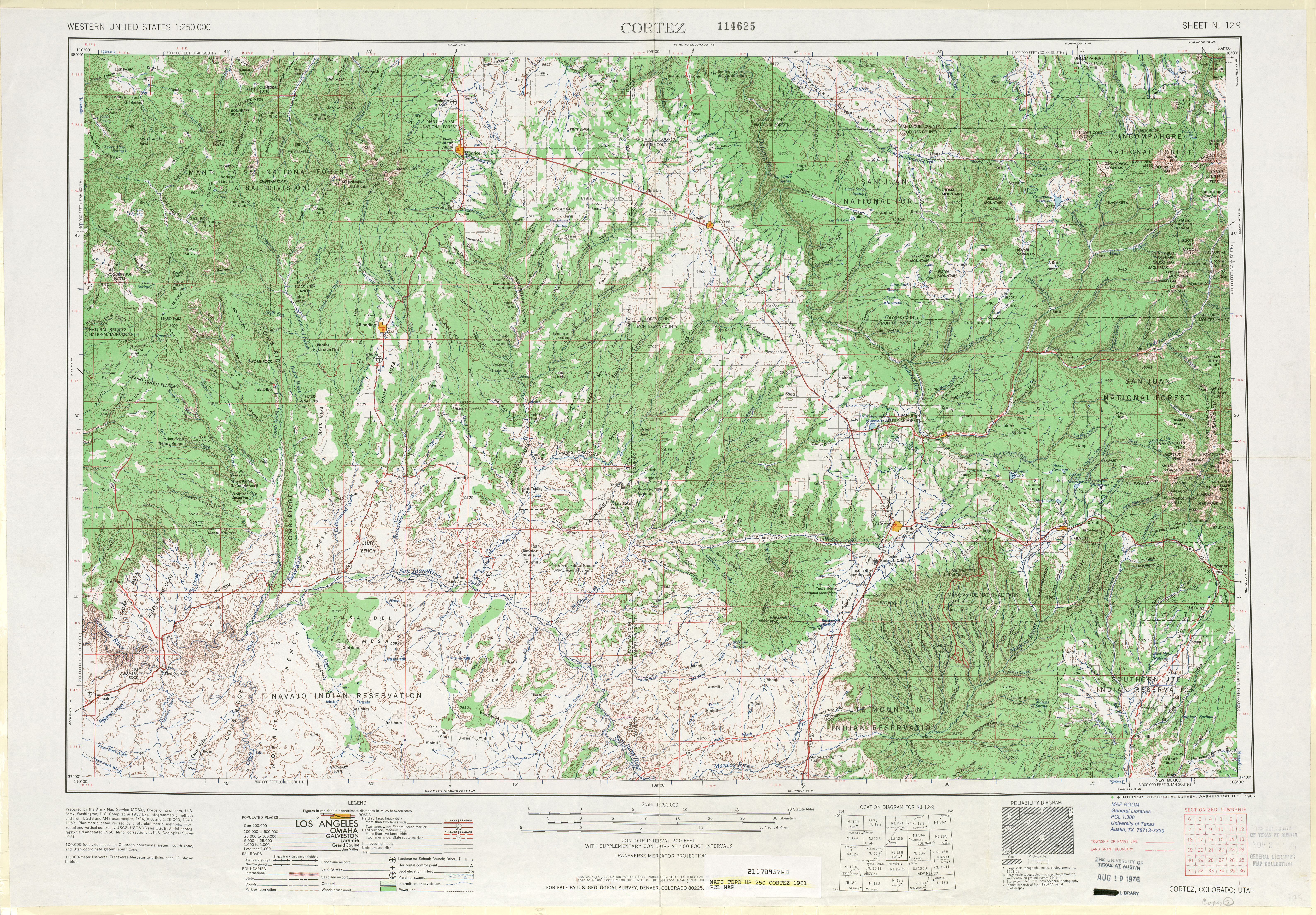
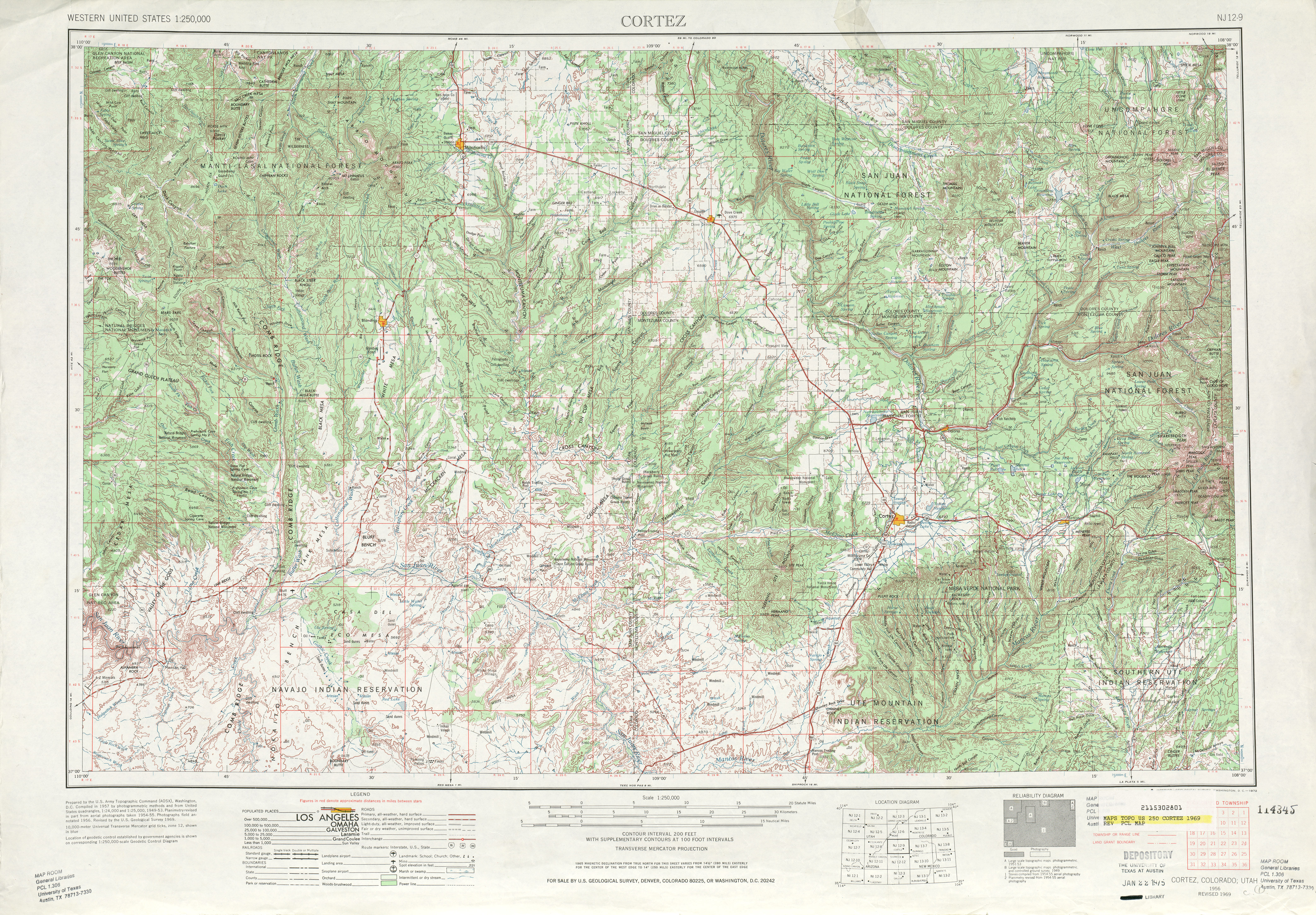
[edit]SR-275 was designated by the state legislature in 1975[2] along a road that had been built in the 1960s.[3][4]
Major intersections
[edit]| County | Location | mi[1] | km | Destinations | Notes |
|---|---|---|---|---|---|
| San Juan | | 0.000 | 0.000 | SR-95 | Southern terminus |
| 3.818 | 6.144 | Natural Bridges National Monument | Northern terminus | ||
| 1.000 mi = 1.609 km; 1.000 km = 0.621 mi | |||||
See also
[edit]

References
[edit]- 1 2 "Highway Reference - SR-275". Utah Department of Transportation. Retrieved June 23, 2008.
- ↑ Utah Department of Transportation, State Route History, accessed July 2007 Archived February 25, 2007, at the Wayback Machine
- ↑ United States Geological Survey, Cortez (scale 1:250,000), 1961
- ↑ United States Geological Survey, Cortez (scale 1:250,000), 1969
External links
[edit]KML is not from Wikidata
 Media related to Utah State Route 275 at Wikimedia Commons