


// Workers AI · dad joke modeWhy did Ulytau goer bring a rope? To range with the times.
| Ulytau | |
|---|---|
| Ұлытау | |
 Landscape of the range | |
| Highest point | |
| Peak | Akmeshit |
| Elevation | 1,131 m (3,711 ft) |
| Coordinates | 48°38′39″N 66°56′46″E / 48.64417°N 66.94611°E |
| Dimensions | |
| Length | 200 km (120 mi) N / S |
| Width | 35 km (22 mi) NE/ SW |
| Geography | |
  Ulytau Location within Kazakhstan | |
| Location | Kazakhstan |
Range coordinates | 48°56′N 67°0′E / 48.933°N 67.000°E |
| Parent range | Kazakh Uplands |
| Geology | |
| Orogeny | Alpine orogeny |
| Rock type | Granite |
Ulytau or Ulutau (Kazakh: Ұлытау; Russian: Улытау) is a range of mountains in Kazakhstan. Administratively the range is part of the Ulytau District, Ulytau Region.[1]
Geography
[edit]
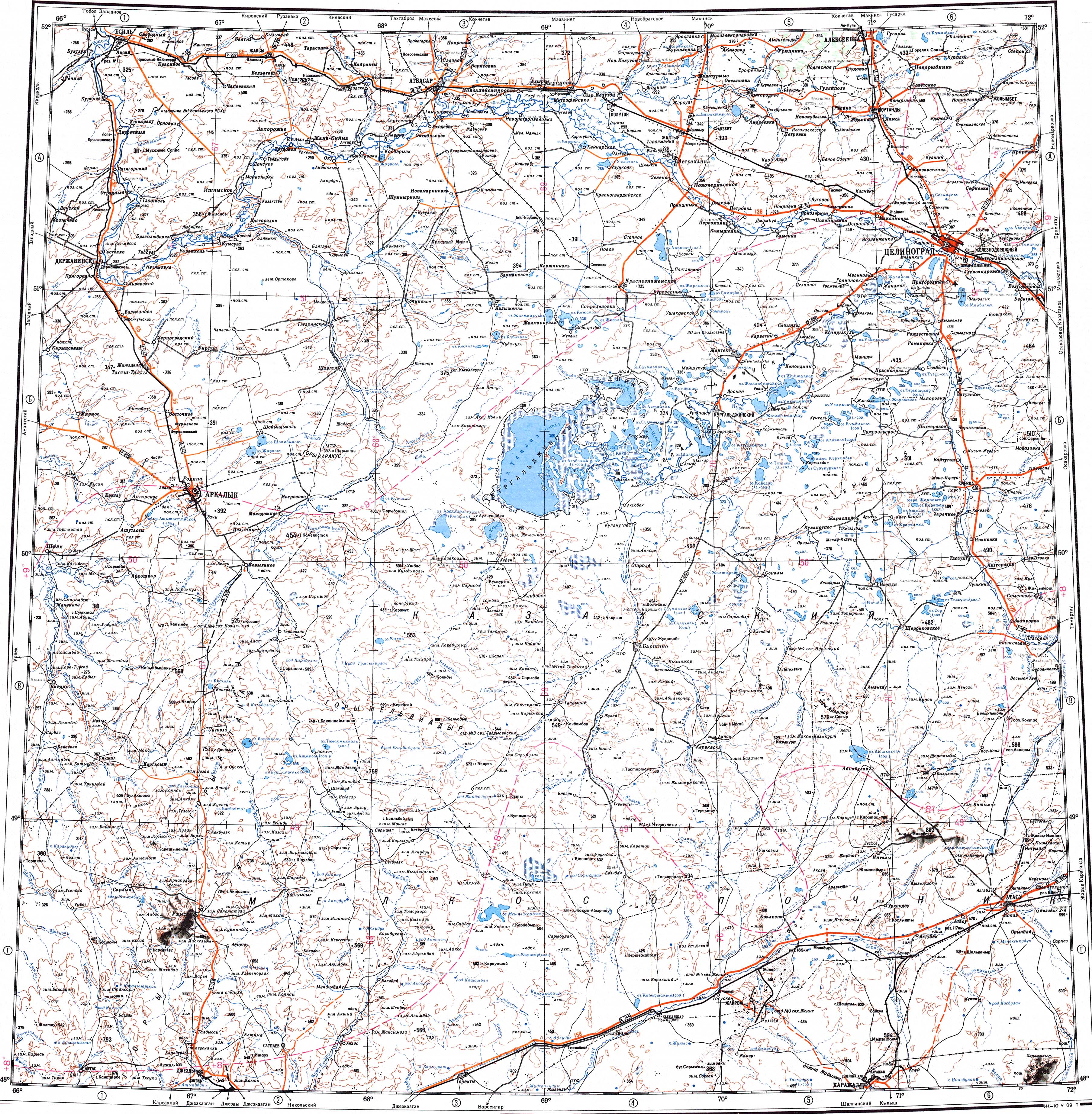
The Ulutau is one of the subranges of the Kazakh Upland system. The range stretches from north to south for about 200 kilometers (120 mi). Its highest point is 1,131 meters (3,711 ft) high Akmeshit. The mountains are rocky, deeply dissected by ravines and have an arid look.[1][2][3]
Rivers Uly-Zhylanshyk, Terisaqqan, Zhymyky, Baikonyr, Kalmakkyrgan (Bileuty) and Karakengir have their sources in the range.[4][5][2]
Flora
[edit]Steppe vegetation, including grasses, Artemisia and Ephedra grows in rock crevices. Shrubs are found on scree slopes.[1]
See also
[edit]References
[edit]- 1 2 3 Улытау; Great Soviet Encyclopedia in 30 vols. — Ch. ed. A.M. Prokhorov. - 3rd ed. - M. Soviet Encyclopedia, 1969–1978. (in Russian)
- 1 2 Google Earth
- ↑ "M-42 Chart (in Russian)". Retrieved 28 July 2021.
- ↑ "L-41 Topographic Chart (in Russian)". Retrieved 12 September 2022.
- ↑ Улы-Жыланшык; Great Soviet Encyclopedia in 30 vols. — Ch. ed. A.M. Prokhorov. - 3rd ed. - M. Soviet Encyclopedia, 1969–1978. (in Russian)
External links
[edit] Media related to Ulytau at Wikimedia Commons
- Ұлытау - Visit Kazakhstan Archived 2022-07-29 at the Wayback Machine

 | This Ulytau Region location article is a stub. You can help Wikipedia by adding missing information. |