Tromyogan
| Tromyogan Тромъёган | |
|---|---|
 | |
  Mouth location in Khanty-Mansi Autonomous Okrug, Russia | |
| Physical characteristics | |
| Source | Siberian Uvaly |
| Mouth | Ob |
• coordinates | 61°12′59″N 73°42′08″E / 61.2165°N 73.7023°E |
| Length | 581 km (361 mi) |
Basin size | 55,600 km2 (21,500 sq mi) |
| Basin features | |
| Progression | Ob→ Kara Sea |
| Tributaries | |
| • right | Agan |
The Tromyogan (Russian: Тромъёган) is a river in Khanty-Mansi Autonomous Okrug, Russia, a tributary of the Ob. It is 581 kilometres (361 mi) long, and has a drainage basin of 55,600 square kilometres (21,500 sq mi).[1]
Course
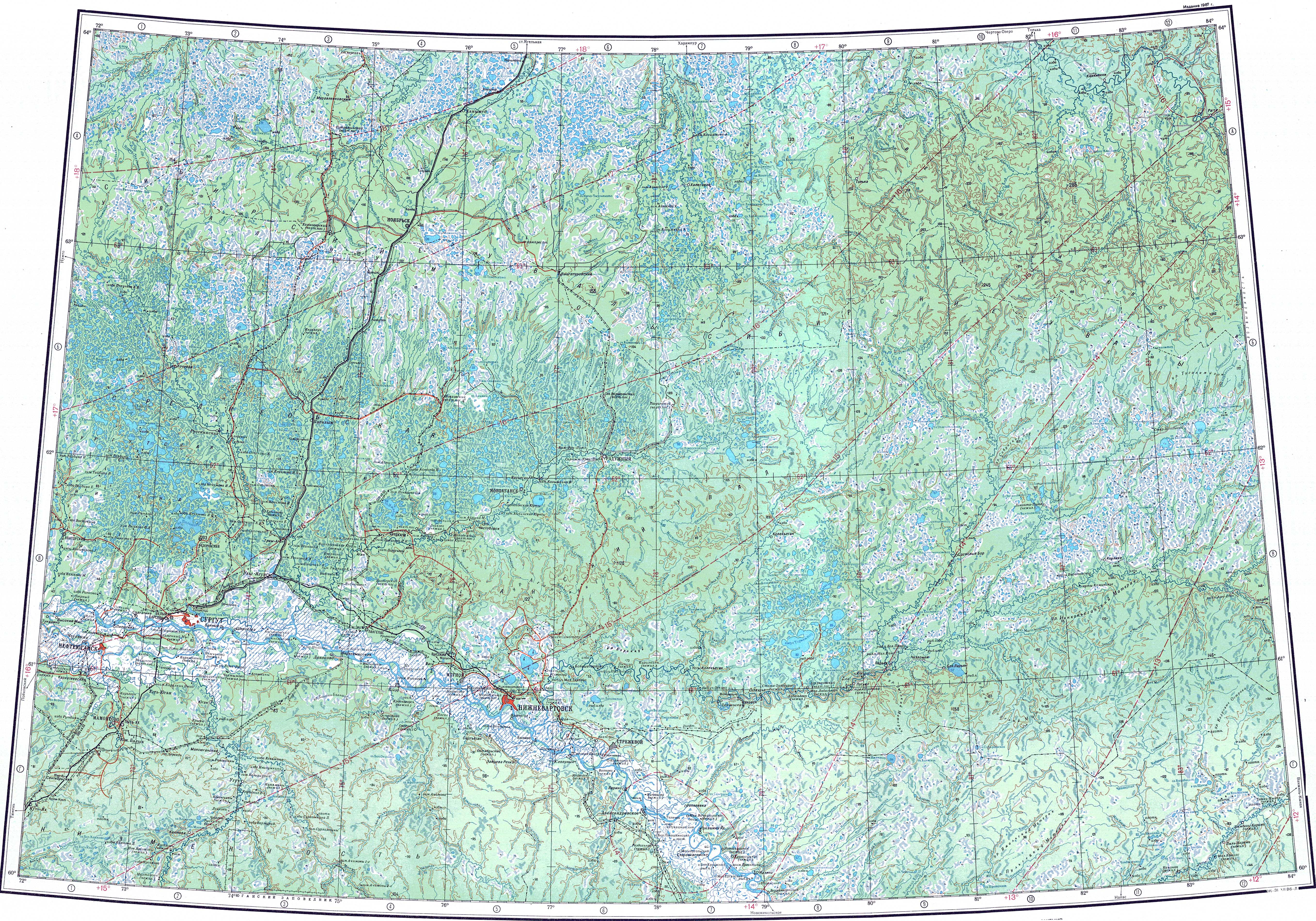
[edit]The Tromyogan is a right tributary of the Ob river. It has its sources in the Siberian Uvaly. The river flows to the north of the Vatinsky Yogan basin.[2]
Tributaries
[edit]The main tributary of the Tromyogan is the 544 km (338 mi) long Agan on the right.[1]
See also
[edit]References
[edit]- 1 2 "Река ТРОМ-ЮГАН in the State Water Register of Russia". textual.ru (in Russian).
- ↑ "P-43_44 Topographic Chart (in Russian)". Retrieved 25 June 2022.
External links
[edit]- Article in the Great Soviet Encyclopedia