


Talk:Maryland Route 49
Add topic | This article is rated B-class on Wikipedia's content assessment scale. It is of interest to the following WikiProjects: | ||||||||||||||||||||||||||||||||||||||||
| |||||||||||||||||||||||||||||||||||||||||


Endpoint
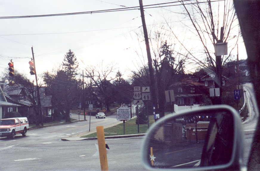
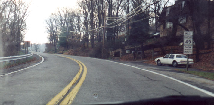
[edit]There seems to be conflicting information about where the endpoint is for this road. To most locals, the road ends at the intersection of Greene and Fayette Streets in Cumberland (the five-way intersection is known as "the Dingle" by locals.) However, according to MDRoads.com, the route ends at the Cumberland city limits, which would put its endpoint near the intersection with Seton Drive and the offramp from I-68, a little under a mile west of the Greene/Fayette intersection. The MD State Highway Administration itself, in its Highway Location Reference guide, says that the route ends at Sunset Drive, about half a mile west of Seton Drive. The route itself is signed all the way to the Greene/Fayette intersection (including a sign at the intersection itself that reads "Maryland 49" rather than "To Maryland 49", as one would expect if the route does not begin there. I'm going to leave the article as it is for now, but it may need to be revised in the future. - Algorerhythms 05:14, 9 September 2007 (UTC)
- I found an image of the Fayette/Greene intersection on MDRoads.com of the MD 49 sign at that intersection, and it appears that the "TO" sign above the US 40 sign may be intended for both routes, though MD 49 is signed at the Seton Drive intersection, which is about half a mile west of the official endpoint. - Algorerhythms 21:03, 9 September 2007 (UTC)
- Maryland road transport articles
- B-Class U.S. road transport articles
- Low-importance U.S. road transport articles
- B-Class U.S. state highway articles
- Low-importance U.S. state highway articles
- U.S. state highway articles
- B-Class Maryland road transport articles
- Low-importance Maryland road transport articles
- WikiProject U.S. Roads subproject selected articles
- U.S. road transport articles