Talk:Kaw Point
Add topicLatest comment: 3 years ago by GeoVenturing in topic Kaw Point
 | This article is rated Start-class on Wikipedia's content assessment scale. It is of interest to the following WikiProjects: | ||||||||||||||||||||||||||||||
| |||||||||||||||||||||||||||||||


Kaw Point
[edit]The dynamic nature of the alluvial plain makes the history here a bit frustrating. Am I correct in understanding that the original Kaw point at the time Missouri's western border was set was located where this border is today? Very curious. Grey Wanderer (talk) 22:40, 10 October 2017 (UTC)
- Yes - Frontier Army Surveyors used longitude of Missouri's western border before Platte Purchase using ship navigation sextants.
- GeoVenturing (talk) 22:32, 16 July 2023 (UTC) GeoVenturing (talk) 22:32, 16 July 2023 (UTC)
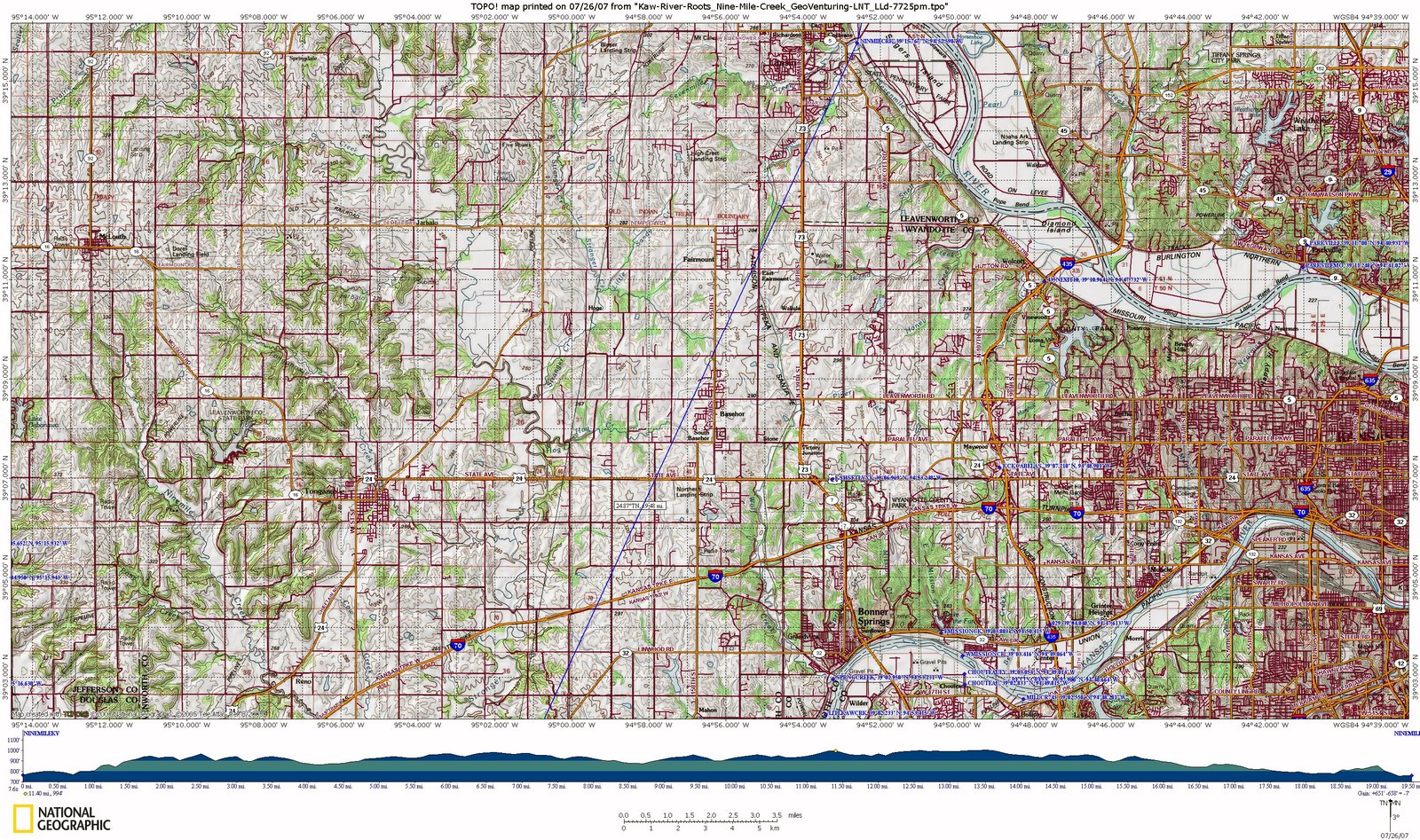
- Attempting to display/import NatGeoMaps-TopoMap from Garmin USA GPSurvey:
- GeoVenturing (talk) 22:37, 16 July 2023 (UTC)
- Correction: Garmin USA GPSurvey example:
- File:NEKS-RiverKeeper-Trails.jpg
- GeoVenturing (talk) 22:46, 16 July 2023 (UTC)