


Shieli
Shieli
Шиелі | |
|---|---|
Town | |
 | |
  Shieli Location in Kazakhstan | |
| Coordinates: 44°10′44″N 66°43′58″E / 44.17889°N 66.73278°E | |
| Country | Kazakhstan |
| Region | Kyzylorda Region |
| District | Shieli District |
| Tural District | Shieli rural district |
| Founded | 1904 |
| Population (2021) | |
• Total | 32,480 |
| Time zone | UTC+5 |
| Postcode | 120700 — 120703 |
Shieli (Kazakh: Шиелі, romanized: Şïeli) is a village in Kyzylorda Region, southern-central Kazakhstan. It is the administrative centre of Shieli District and the head and the only settlement of Shieli rural district (KATO code - 435230100). Population: 29,632 (2009 census results);[1] 28,621 (1999 census results).[1]
Shieli was founded in 1904 at the time of the construction of the Orenburg–Tashkent Railway.
Geography
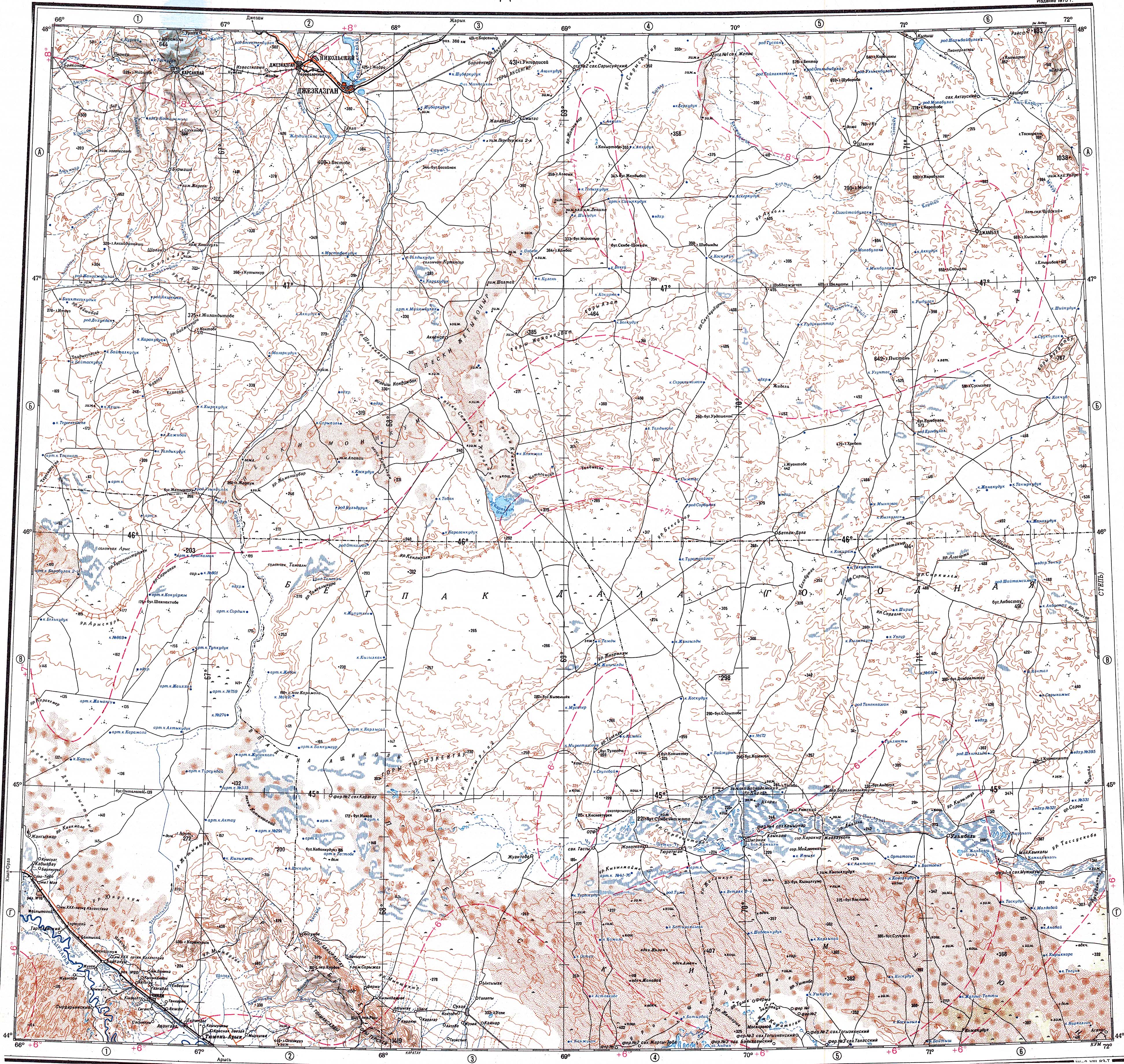
[edit]Shieli is located by the right bank of the Syr Darya river. The 181 kilometers (112 mi) long Shieli-Telikol Canal was built for irrigation, connecting the Telikol lacustrine basin to the north with the Syr Darya river near Shieli.[2]
Climate
[edit]Shieli has a cold desert climate (Köppen: BWk)[3] with cold winters and hot summers.
| Climate data for Shieli (1991–2020) | |||||||||||||
|---|---|---|---|---|---|---|---|---|---|---|---|---|---|
| Month | Jan | Feb | Mar | Apr | May | Jun | Jul | Aug | Sep | Oct | Nov | Dec | Year |
| Mean daily maximum °C (°F) | 0.5 (32.9) |
4.0 (39.2) |
13.2 (55.8) |
22.0 (71.6) |
28.6 (83.5) |
33.7 (92.7) |
35.2 (95.4) |
33.6 (92.5) |
27.3 (81.1) |
19.6 (67.3) |
9.5 (49.1) |
2.3 (36.1) |
19.1 (66.4) |
| Daily mean °C (°F) | −4.5 (23.9) |
−2.0 (28.4) |
5.8 (42.4) |
14.4 (57.9) |
21.0 (69.8) |
25.9 (78.6) |
27.2 (81.0) |
25.2 (77.4) |
18.6 (65.5) |
11.0 (51.8) |
2.8 (37.0) |
−3.1 (26.4) |
11.9 (53.4) |
| Mean daily minimum °C (°F) | −8.5 (16.7) |
−6.6 (20.1) |
0.1 (32.2) |
7.6 (45.7) |
13.3 (55.9) |
17.6 (63.7) |
18.8 (65.8) |
16.9 (62.4) |
10.4 (50.7) |
3.7 (38.7) |
−2.3 (27.9) |
−7.2 (19.0) |
5.3 (41.5) |
| Average precipitation mm (inches) | 18.5 (0.73) |
15.5 (0.61) |
15.8 (0.62) |
17.0 (0.67) |
20.1 (0.79) |
7.4 (0.29) |
4.8 (0.19) |
3.2 (0.13) |
2.4 (0.09) |
8.1 (0.32) |
18.5 (0.73) |
13.6 (0.54) |
144.9 (5.70) |
| Average precipitation days (≥ 1.0 mm) | 5.0 | 3.6 | 3.5 | 3.6 | 3.2 | 1.6 | 1.0 | 0.7 | 0.5 | 1.7 | 4.0 | 3.9 | 32.3 |
| Source: NOAA[4] | |||||||||||||
References
[edit]- 1 2 "Население Республики Казахстан" [Population of the Republic of Kazakhstan] (in Russian). Департамент социальной и демографической статистики. Retrieved 8 December 2013.
- ↑ "L-42 Topographic Chart (in Russian)". Retrieved 11 November 2022.
- ↑ "Table 1 Overview of the Köppen-Geiger climate classes including the defining criteria". Nature: Scientific Data.
- ↑ "World Meteorological Organization Climate Normals for 1991-2020 — Shieli". National Oceanic and Atmospheric Administration. Retrieved January 18, 2024.
External links
[edit] Media related to Shieli at Wikimedia Commons

Capital: Kyzylorda | ||
| Districts |  | |
| Major cities | ||
 | This Kyzylorda Region location article is a stub. You can help Wikipedia by adding missing information. |