


Seikphyu
Seikphyu | |
|---|---|
Town | |
  Seikphyu Location in Burma | |
| Coordinates: 20°54′N 94°48′E / 20.900°N 94.800°E | |
| Country |  Myanmar Myanmar |
| Region |  Magway Region Magway Region |
| District | Pakokku District |
| Township | Seikphyu Township |
| Elevation | 62 m (204 ft) |
| Time zone | UTC+6.30 (MST) |
Seikphyu[1] (Burmese: ဆိပ်ဖြူ) is the principal town and administrative seat for Seikphyu Township in Pakokku District in the Magway Division of Myanmar, on the right (western) bank of the Irrawaddy immediately below its confluence with the Yaw River. It is located across the Irrawaddy river from Chauk, to which it is connected by Anawrahta Bridge.[2] It is situated 34 kilometers south-south-west of ancient Bagan City and 44 kilometers from Nyaung U Airport.
Notes
[edit]- ↑ Seikphyu at GEOnet Names Server, United States National Geospatial-Intelligence Agency
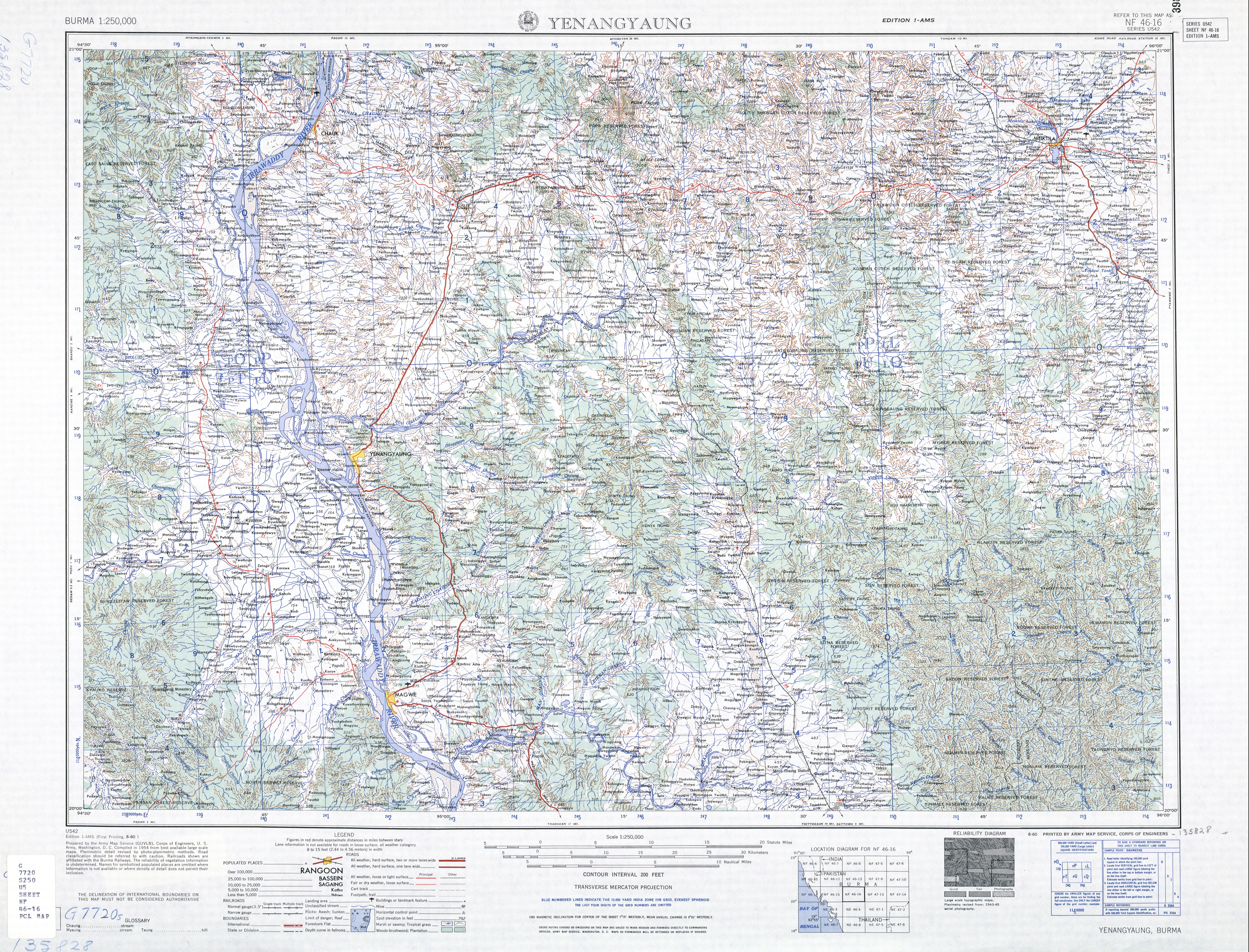
- ↑ "Burma 1:250,000 topographic map, Series U542, NF 46-16 Yenangyaung" U.S. Army Map Service, August 1960
External links
[edit]- Country wide map, admin boundaries by Myanmar Information Management Unit (MIMU) (PDF) (Map). MIMU. 12 December 2012. Archived from the original (PDF) on 16 August 2013.
- "Seikpyu Map — Satellite Images of Seikpyu" Maplandia World Gazetteer
Capital: Magway | ||
| Gangaw District |   | |
| Magway District | ||
| Chauk District | ||
| Minbu District | ||
| Pakokku District | ||
| Thayet District | ||
| Aunglan District | ||
| Main cities and towns | ||
 | This Magway Region location article is a stub. You can help Wikipedia by adding missing information. |