Sayramsu
| Sayramsu | |
|---|---|
 | |
  Mouth location in Kazakhstan | |
| Native name | Сайрамсу (Kazakh) |
| Location | |
| Country | Kazakhstan |
| Region | Turkistan |
| District | Tole Bi, Sayram |
| Physical characteristics | |
| Source | |
| • location | Ugam Range[1] |
| • coordinates | 42°12′01″N 70°23′16″E / 42.200145°N 70.387681°E |
| • elevation | c. 1,655 m (5,430 ft)[2] |
| Mouth | |
• location | Badam[3] |
• coordinates | 42°15′57″N 69°41′14″E / 42.2658°N 69.6871°E |
• elevation | c. 569 m (1,867 ft)[2] |
| Length | 76 km (47 mi) |
Basin size | 1,060 km2 (410 sq mi) |
| Basin features | |
| Progression | Badam→ Arys→ Syr Darya→ North Aral Sea |
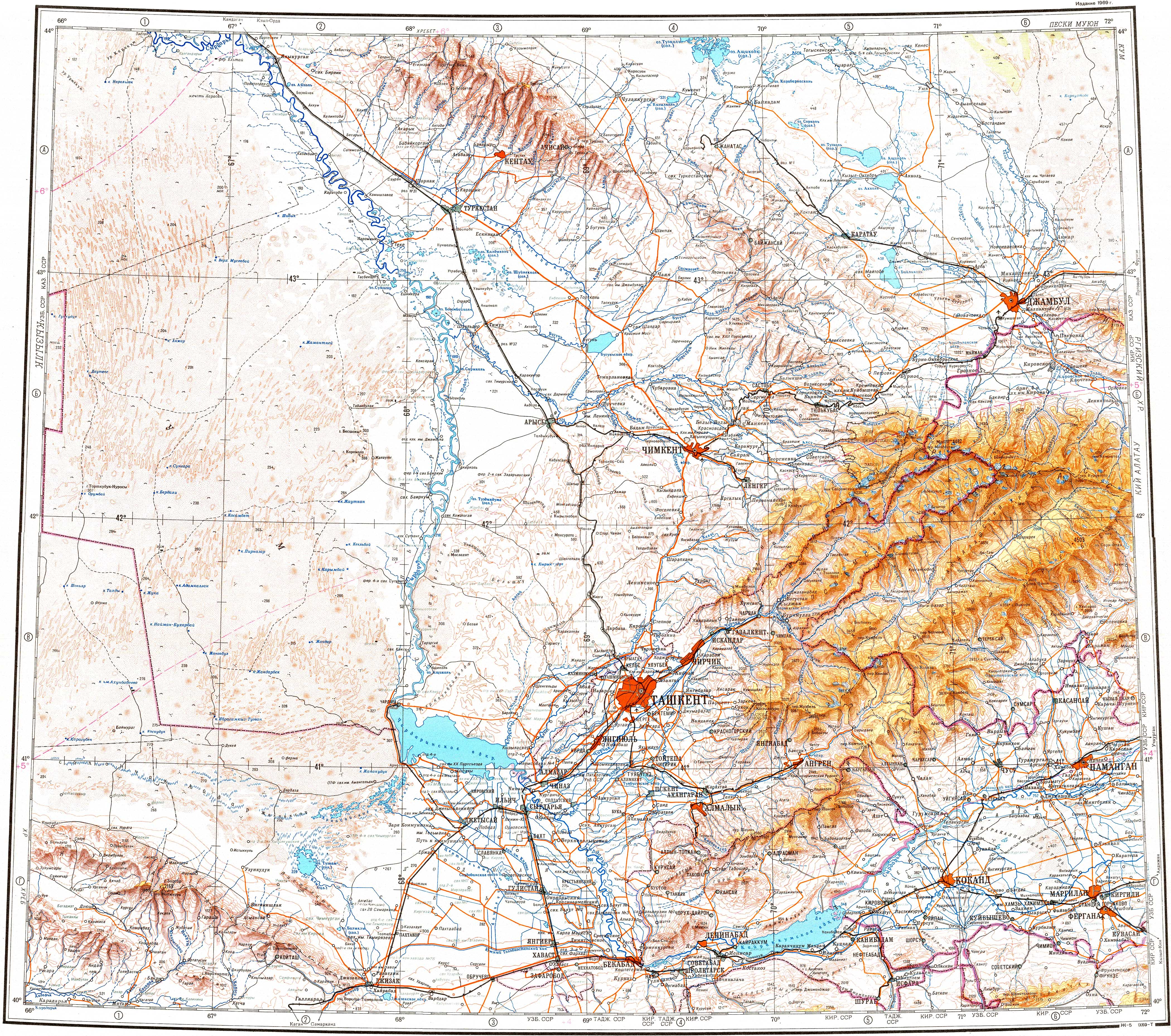
The Sayramsu (Kazakh: Сайрамсу) is a river in southern Kazakhstan. It is a tributary of the Badam River near Shymkent.[4]
See also
[edit]References
[edit]- ↑ "Source location in Old Soviet Map (shown as: Сайрамсу) (Russian) 1:100.000". Archived from the original on 12 November 2023. Retrieved 12 November 2023.
- 1 2 Google Earth
- ↑ "Mouth location in Old Soviet Map (shown as: Сайрамсу) (Russian) 1:100.000". Archived from the original on 12 November 2023. Retrieved 12 November 2023.
- ↑ "K-42 Topographic Chart (maps.vlasenko.net) (Russian) 1:1.000.000". Archived from the original on 20 October 2022. Retrieved 12 November 2023.