


Oloy
| Oloy | |
|---|---|
  Mouth location in Chukotka Autonomous Okrug | |
| Location | |
| Country | Russia |
| Physical characteristics | |
| Source | Confluence of Left Oloy and Right Oloy Ush-Urekchen Kolyma Highlands |
| • elevation | 633 m (2,077 ft) |
| Mouth | Omolon |
• coordinates | 66°27′59″N 159°27′14″E / 66.4665°N 159.4538°E |
• elevation | 129 m (423 ft) |
| Length | 471 km (293 mi) |
Basin size | 23,100 km2 (8,900 sq mi) |
| Discharge | |
| • average | 113 m3/s (4,000 cu ft/s) |
| Basin features | |
| Progression | Omolon → Kolyma→ East Siberian Sea |
The Oloy (Russian: Олой) is a river in Magadan Oblast in Russia, a right tributary of the Omolon (Kolyma's basin). The length of the river is 471 kilometres (293 mi). The area of its drainage basin is 23,100 square kilometres (8,900 sq mi).[1] The river flows through sparsely populated areas of Chukotka.
Course
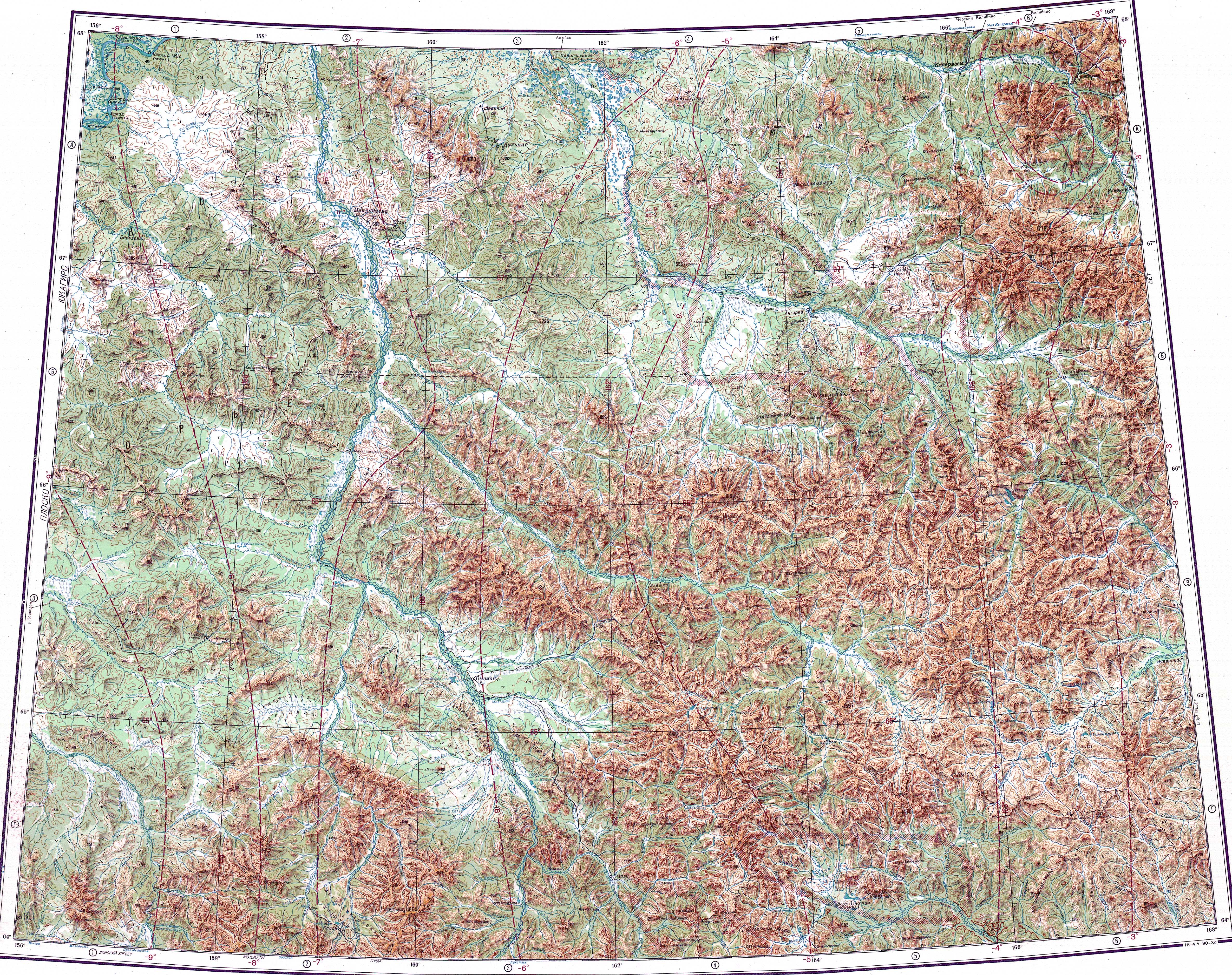
[edit]It has its sources in the Ush-Urekchen range, at the confluence of Left Oloy and Right Oloy. It flows roughly northwestwards between the Ush-Urekchen to the south and the Oloy Range to the north.[2]
See also
[edit]References
[edit]- ↑ "Река Олой (в верховье Лев. Олой) in the State Water Register of Russia". textual.ru (in Russian).
- ↑ "Топографска карта Q-57_58; M 1:1 000 000 - Topographic USSR Chart (in Russian)". Retrieved 5 March 2022.
External links
[edit]- Pictures of Chukchi people in the Oloy basin[permanent dead link]
- "Tourism and environment" (PDF). (571 KB)

 | This Magadan Oblast location article is a stub. You can help Wikipedia by adding missing information. |
 | This article related to a river in the Russian Far East is a stub. You can help Wikipedia by adding missing information. |