


// Workers AI · dad joke modeWhat did Munni's egg say? Egg-Munni.
| Munni Мунни / Мунньи | |
|---|---|
  Mouth location in Yakutia, Russia | |
| Location | |
| Country | Russia |
| Physical characteristics | |
| Source | |
| • location | Kelter Range |
| Mouth | Belyanka |
• coordinates | 64°15′33″N 128°46′32″E / 64.25917°N 128.77556°E |
• elevation | ca 169 m (554 ft) |
| Length | 103 km (64 mi)[1] |
Basin size | 1,760 square kilometres (680 mi2)[1] |
| Basin features | |
| Progression | Belyanka → Lena→ Laptev Sea |
The Munni (Russian: Мунни; Yakut: Мунньи, Munñi) is a river in the Sakha Republic (Yakutia), Russia, a right tributary of the Belyanka, of the Lena basin. It has a length of 103 kilometres (64 mi) and a drainage basin area of 1,760 square kilometres (680 mi2).[1]
There are no settlements in the basin of the river. The nearest village is Batamay, located to the east of the mouth of the Belyanka in the Lena.[2]
Course
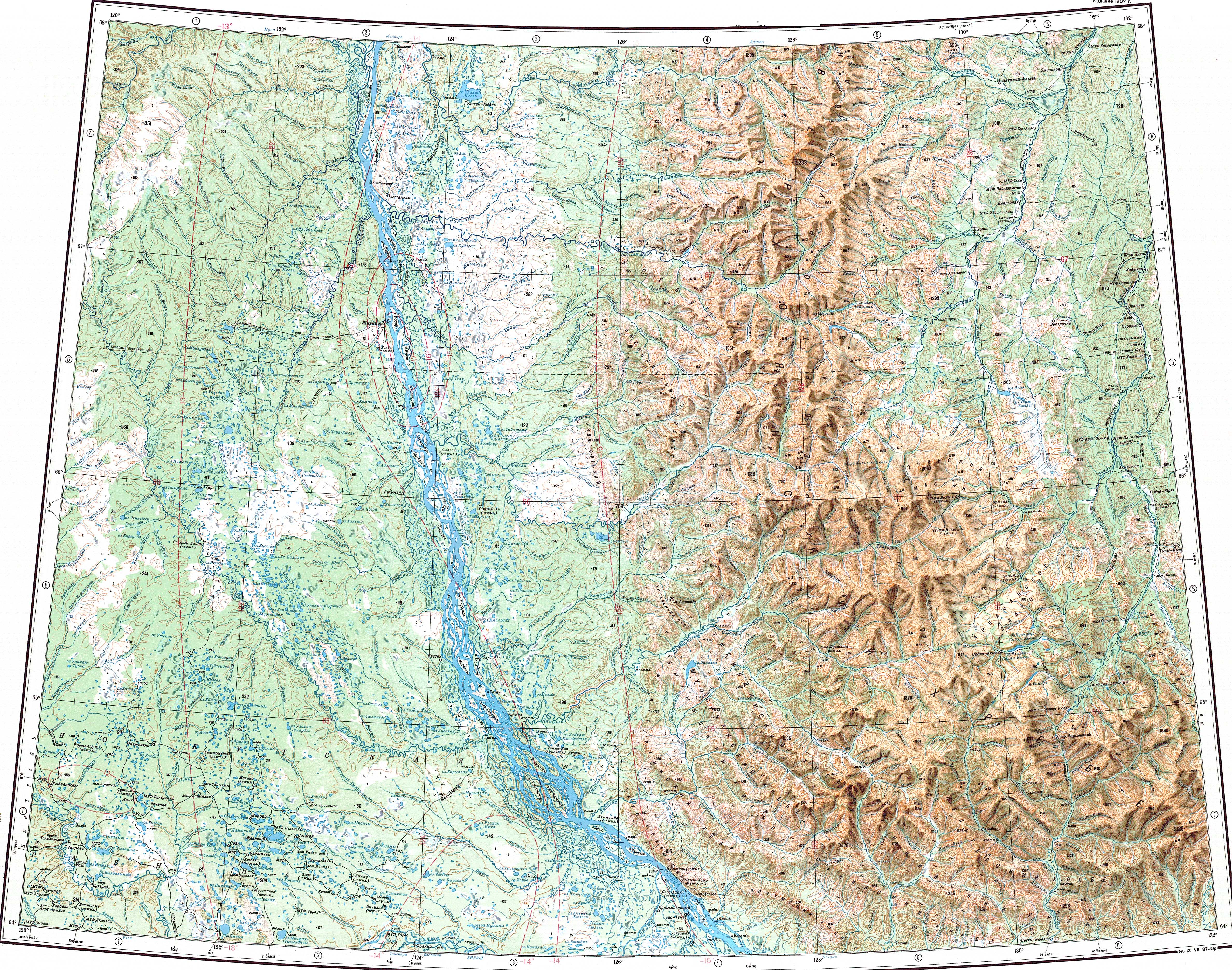
[edit]The Munni is a mountain river that flows in the southwestern area of the Verkhoyansk Range. It has its sources in the slopes of the Kelter Range and flows southwards in its upper course. Then it bends westwards along the northern edge of the Munni Range at the eastern limit of the Tagindzhin Range. After bending southwards again its valley is bound by the eastern end of the Muosuchan Range. Finally the confluence of river Munni from the west and Tagyndzha from the east gives origin to the Belyanka.[3][4][5]
The river freezes between mid October and the end of May.[6]
See also
[edit]References
[edit]- 1 2 3 "Река Мунньи in the State Water Register of Russia". textual.ru (in Russian).
- ↑ Google Earth
- ↑ "Q-51_52 Chart (in Russian)". Archived from the original on 2022-02-11. Retrieved 11 February 2022.
- ↑ 1,000,000 scale Operational Navigation Chart; Sheet C-6
- ↑ 1,000,000 scale Operational Navigation Chart; Sheet D-7
- ↑ Nature.ykt
External links
[edit]- Рыбалка на Белянке. Ленок на мышь
- Fishing & Tourism in Yakutia
- Fishing on the river Belyanka + Munni - Visit Yakutia
- Рыболовный тур на реку Белянка



.svg) | This Sakha Republic location article is a stub. You can help Wikipedia by adding missing information. |
 | This article related to a river in the Russian Far East is a stub. You can help Wikipedia by adding missing information. |