// Workers AI · dad joke modeWhat did Malye Chany lake say? I'm drained.
| Malye Chany | |
|---|---|
| Малые Чаны | |
 Sentinel-2 picture of the lake | |
  Malye Chany Location within Novosibirsk Oblast  Malye Chany Location within Russia | |
| Location | Baraba Lowland West Siberian Plain |
| Coordinates | 54°33′00″N 77°58′00″E / 54.55000°N 77.96667°E |
| Type | brackish lake |
| Chulym | |
| 20,100 square kilometers (7,800 sq mi) | |
| Basin countries | Russia |
| Max. length | 21.5 kilometers (13.4 mi) |
| Max. width | 12 kilometers (7.5 mi) |
Surface area | ca 200 square kilometers (77 sq mi) |
Average depth | 1.4 meters (4 ft 7 in) |
| Max. depth | 14 meters (46 ft) |
Water volume | 0.27 cubic kilometers (0.065 cu mi) |
| Residence time | UTC+7 |
Surface elevation | 106 meters (348 ft) |
| Settlements | Chumashki |
Malye Chany (Russian: Малые Чаны – Little Chany) is a lake in Kupinsky and Zdvinsky districts, Novosibirsk Oblast, Russian Federation.[1]
Chumashki village is located 7.5 kilometers (4.7 mi) to the southwest of the lake and Novorozino 5 kilometers (3.1 mi) to the north of the northern lakeshore.[2]
Geography
[edit]Malye Chany is part of the Baraba Lowland, West Siberian Plain. It lies in the southern part of the Ob-Irtysh interfluve. The Chulym river enters the lake from the eastern shore. In the northwestern corner there is the Kozhurla Sound (Протока Кожурла), a narrow 3.5 kilometers (2.2 mi) long channel connecting with Lake Chany to the north. Lake Yarkul lies 20 kilometers (12 mi) to the WNW. The lakeshore is irregular, with deep inlets in the northeast. Malye Chany freezes in late October or early November and thaws in late April or early May.[3][2][4]
There are seasonal fluctuations in the lake level, with the surface reaching a maximum of approximately 200 square kilometers (77 sq mi) and a minimum of 190 square kilometers (73 sq mi). The lake water is less saline than the water of Lake Chany, with a mineralization between 600 milligrams per liter (0.00035 oz/cu in) and 800 milligrams per liter (0.00046 oz/cu in), reaching 1,000 milligrams per liter (0.00058 oz/cu in) at low water levels.[5]
See also
[edit]References
[edit]- ↑ Google Earth
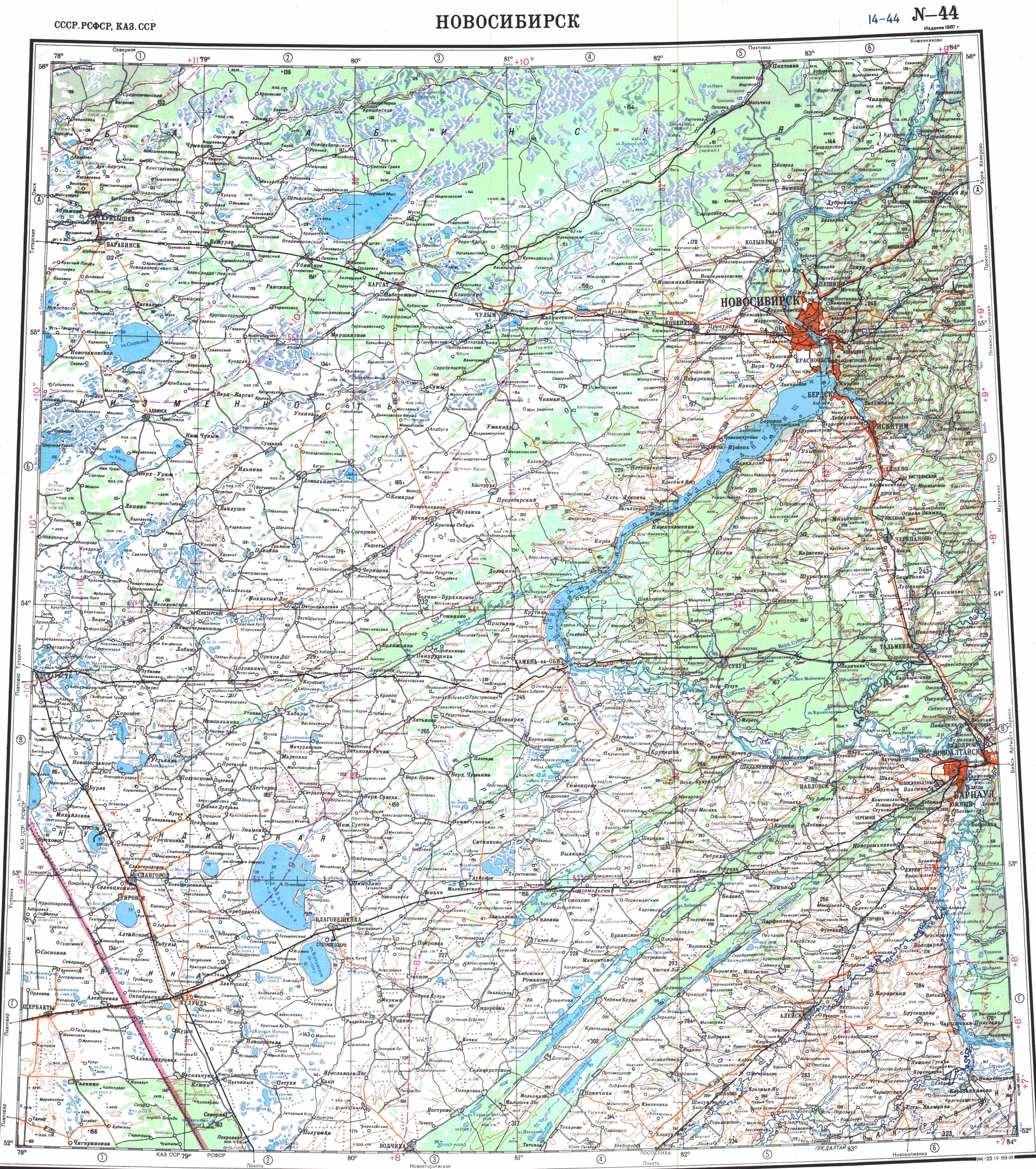
- 1 2 "N-44 Topographic Chart (in Russian)". Retrieved 30 November 2024.
- ↑ Intermediate lakes of the Chulym and Kargat river valleys and their role in the evolution of the Lake Chany basin
- ↑ δ13С and δ15N isotope analysis of modern freshwater fish in the south of Western Siberia and its potential for palaeoreconstructions
- ↑ Water of Russia - Малые Чаны