


Losojocha
| Losojocha | |
|---|---|
  Losojocha Location within Peru | |
| Highest point | |
| Elevation | 5,338 m (17,513 ft)[1] |
| Coordinates | 14°35′43″S 69°14′34″W / 14.59528°S 69.24278°W |
| Geography | |
| Location | Peru, Puno Region |
| Parent range | Andes, Apolobamba |
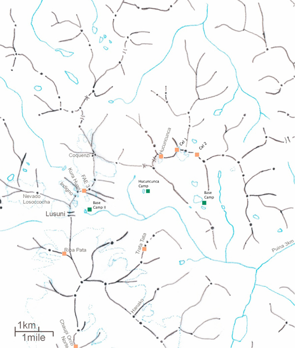
Losojocha or Losoccocha (possibly from Quechua qucha lake)[2] is a 5,338-metre-high (17,513 ft) mountain in the Apolobamba mountain range in the Andes of Peru. It is located in the Puno Region, Putina Province, Sina District. Losojocha lies southwest of Locopauchenta, west of Cunuyo and northwest of Sorapata. It is near the Lusuni pass at the border with Bolivia.[1][3][4]
References
[edit]- 1 2 "Nevado Losojocha". IGN, Peru. Archived from the original on September 24, 2015. Retrieved May 24, 2015.
- ↑ Teofilo Laime Ajacopa (2007). Diccionario Bilingüe: Iskay simipi yuyayk’anch: Quechua – Castellano / Castellano – Quechua (PDF). La Paz, Bolivia: futatraw.ourproject.org.
- ↑ escale.minedu.gob.pe UGEL map of the Putina Province (Puno Region)
- ↑ skg.uw.edu.pl Map of the area
 | This Puno Region geography article is a stub. You can help Wikipedia by adding missing information. |