


// Workers AI · dad joke modeIs Laramani a good pasta sauce? Saucy name, isn't it?
| Laramani | |
|---|---|
  Laramani Location within Peru | |
| Highest point | |
| Elevation | 4,922.8 m (16,151 ft)[1] |
| Coordinates | 14°36′35″S 71°11′25″W / 14.60972°S 71.19028°W |
| Geography | |
| Location | Peru, Cusco Region, Canas Province |
| Parent range | Andes |
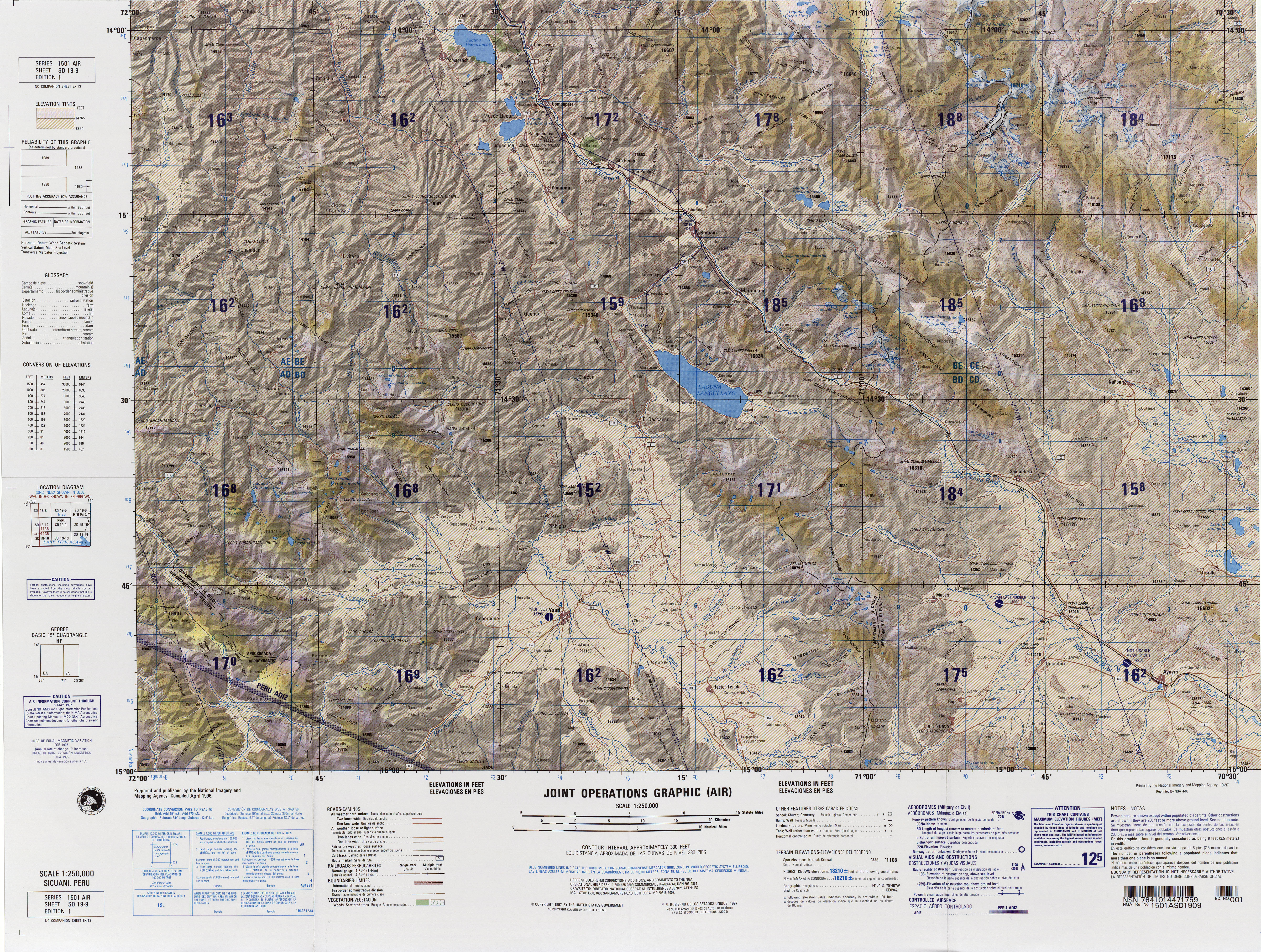
Laramani (Aymara larama blue,[2] -ni a suffix to indicate ownership, "the one with blue color") is a mountain in the Andes of Peru, about 4,922.8 metres (16,151 ft) high. It is located in the Cusco Region, Canas Province, on the border of the districts Kunturkanki and Layo, and in the Espinar Province, Pichigua District. A stream named Pumanuta originates east of the mountain. It flows to the lake Langui Layo north of Laramani.[3]
References
[edit]- ↑ "South America Maps". Joint Operations Graphic. Retrieved July 2, 2014.
- ↑ Radio San Gabriel, "Instituto Radiofonico de Promoción Aymara" (IRPA) 1993, Republicado por Instituto de las Lenguas y Literaturas Andinas-Amazónicas (ILLLA-A) 2011, Transcripción del Vocabulario de la Lengua Aymara, P. Ludovico Bertonio 1612 (Spanish-Aymara-Aymara-Spanish dictionary)
- ↑ escale.minedu.gob.pe - UGEL map of the Canchis Province (Cusco Region) (unnamed, 4,800 m)
 | This Peru mountain, mountain range, or peak related article is a stub. You can help Wikipedia by adding missing information. |