Kinzelyuk Waterfall
| Kinzelyuk Waterfall | |
|---|---|
 | |
  Location within Irkutsk Oblast  Location within Russia | |
| Location | Krasnoyarsk Krai, Russia |
| Coordinates | 54°09′30″N 95°49′53″E / 54.1584°N 95.8315°E |
The Kinzelyuk Waterfall (Кинзелюкский водопад (Russian)) is the third tallest waterfall in Russia, surpassed only by Talnikovy and Big Zeygalan, which rank first and second respectively.[1] In 1989, a team led by Petro Kravchuk estimated its height to be 328 meters(1076ft).[1]
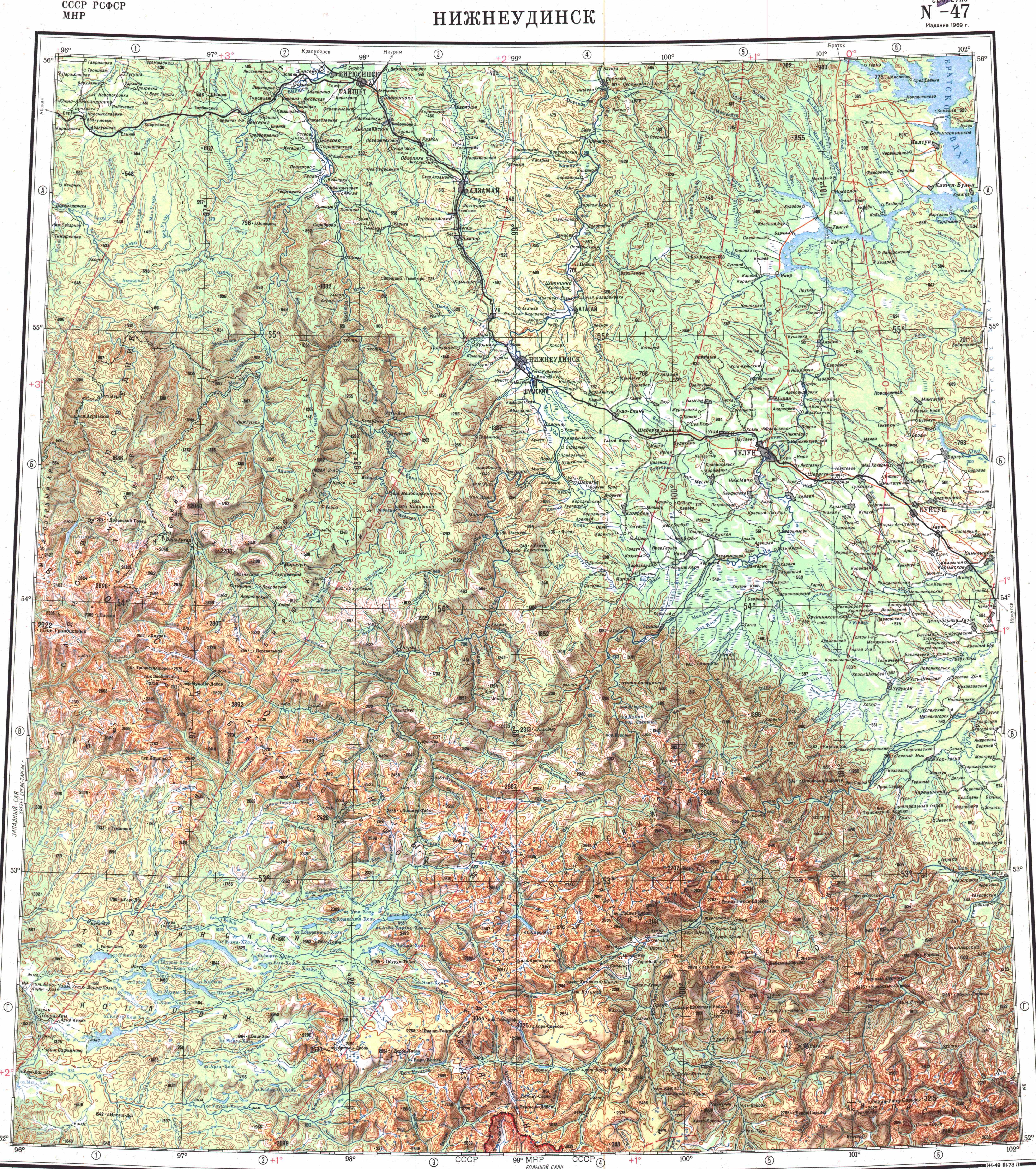
The waterfall is located in the eastern part of the Kuraginsky District, near the border of the Irkutsk Oblast, in the sparsely populated region of Siberia known as Tofalaria.[2]
The stream flows out of Lake Kinzelyuk, which occupies the summit of Kinzelyuk Mountain, with a height of 1601 meters(5253ft). The water falls into the small Lower Kinzelyuk Lake, which feeds the Kinzelyuk River, a tributary of the Kizir River.[3]
The Kinzelyuk Mountain is part of the Kinzelyuk Ridge, the westernmost spur of the Agul Belki mountains. The entire mountainous region is known as the Eastern Sayan mountains.[4]
See also
[edit]References
[edit]| External image | |
|---|---|
 The stream flowing out of the mountain lake The stream flowing out of the mountain lake |
- 1 2 Кравчук П. А. Рекорды природы. — Любешов: Эрудит, 1993. — С. 65. — 216 с. — ISBN 5-7707-2044-1.
- ↑ tofalaria.ru - Кинзелюкский водопад
- ↑ А. А. Федоров. Два года в Саянах. Гос. изд-во геогр. лит-ры, 1951. Стр. 152-153.
- ↑ "Топографска карта N-47, G; M 1:1 000 000 - Topographic USSR Chart (in Russian)". Retrieved 14 June 2023.