


// Workers AI · dad joke modeWhat did Itsay say? It says it's "Italian" to me.
| Itsay | |
|---|---|
  Location within Kyrgyzstan | |
| Location | |
| Country | Kyrgyzstan |
| Physical characteristics | |
| Mouth | Naryn |
• coordinates | 41°34′39″N 72°32′04″E / 41.5774°N 72.5344°E |
| Basin features | |
| Progression | Naryn→ Syr Darya→ North Aral Sea |
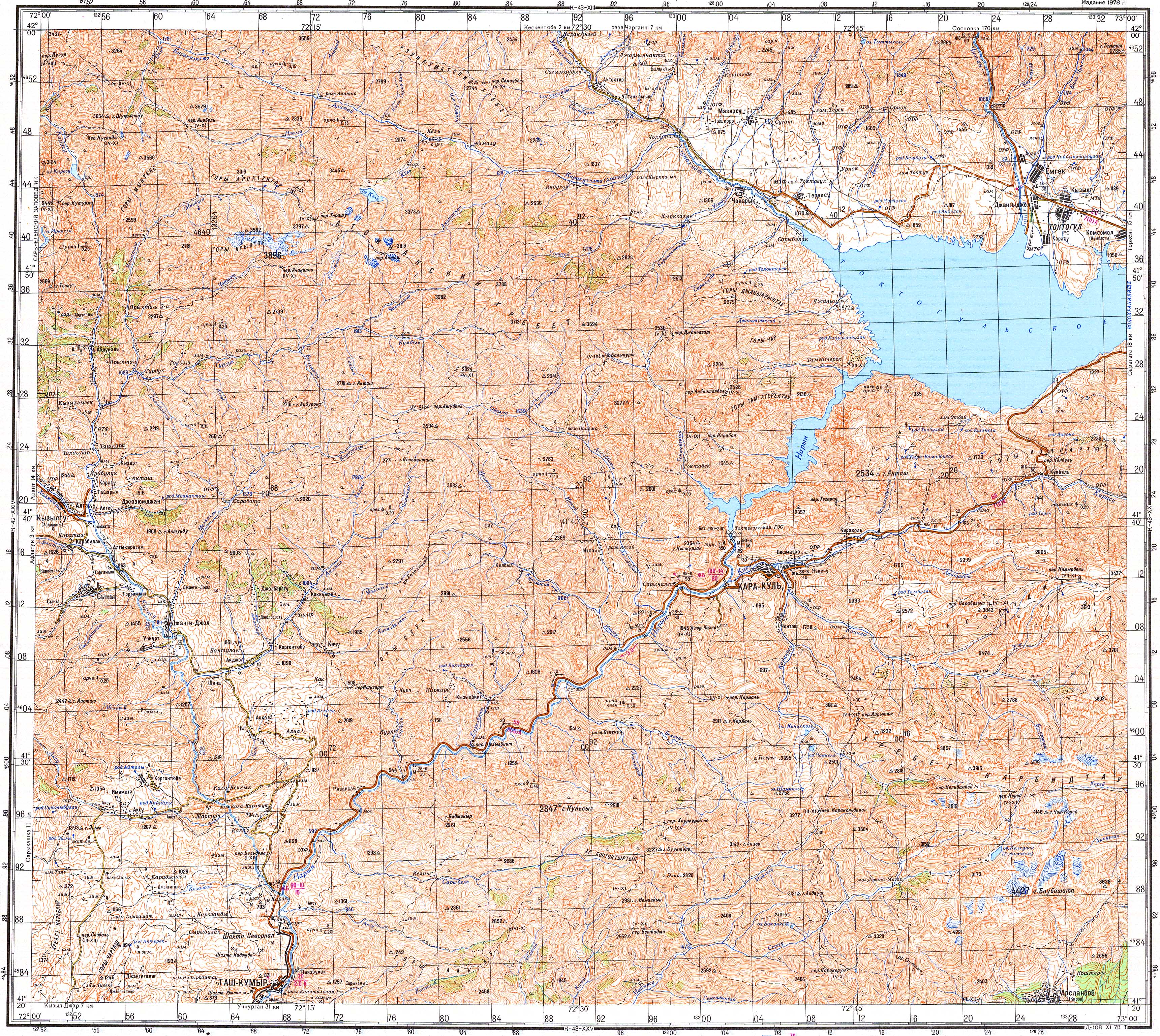
The Itsay (Kyrgyz: Итсай) is a right tributary of the Naryn in Jalal-Abad Region, Kyrgyzstan. Its source is in the Atoynok Kyrka Toosu range, western Tian Shan mountains.[1] It discharges into the Naryn southwest of Kara-Köl.[2]
References
[edit]- ↑ "Атойнок кырка тоосу" [Atoynok Kyrka Toosu] (PDF). Кыргызстандын Географиясы [Geography of Kyrgyzstan] (in Kyrgyz). Bishkek. 2004. p. 31.
{{cite encyclopedia}}: CS1 maint: location missing publisher (link) - ↑ Soviet military map K-43-19 (1:200,000)

 | This Jalal-Abad region location article is a stub. You can help Wikipedia by adding missing information. |