Imanburlyk
(Redirected from Imanburlyq)
| Imanburlyk | |
|---|---|
 Last stretch of the river course and Sergeyev Dam in the distance | |
 | |
| Location | |
| Country | Kazakhstan |
| Physical characteristics | |
| Source | |
| • location | Imantau (lake) |
| Mouth | Ishim |
• coordinates | 53°39′50″N 67°14′28″E / 53.6639°N 67.2411°E |
| Length | 177 km (110 mi) |
| Basin features | |
| Progression | Ishim→ Irtysh→ Ob→ Kara Sea |
The Imanburlyk (Kazakh: Иманбұрлық, İmanbūrlyq) is a river of the North Kazakhstan Region, Kazakhstan. It is a right tributary of the Ishim.[1]
Course
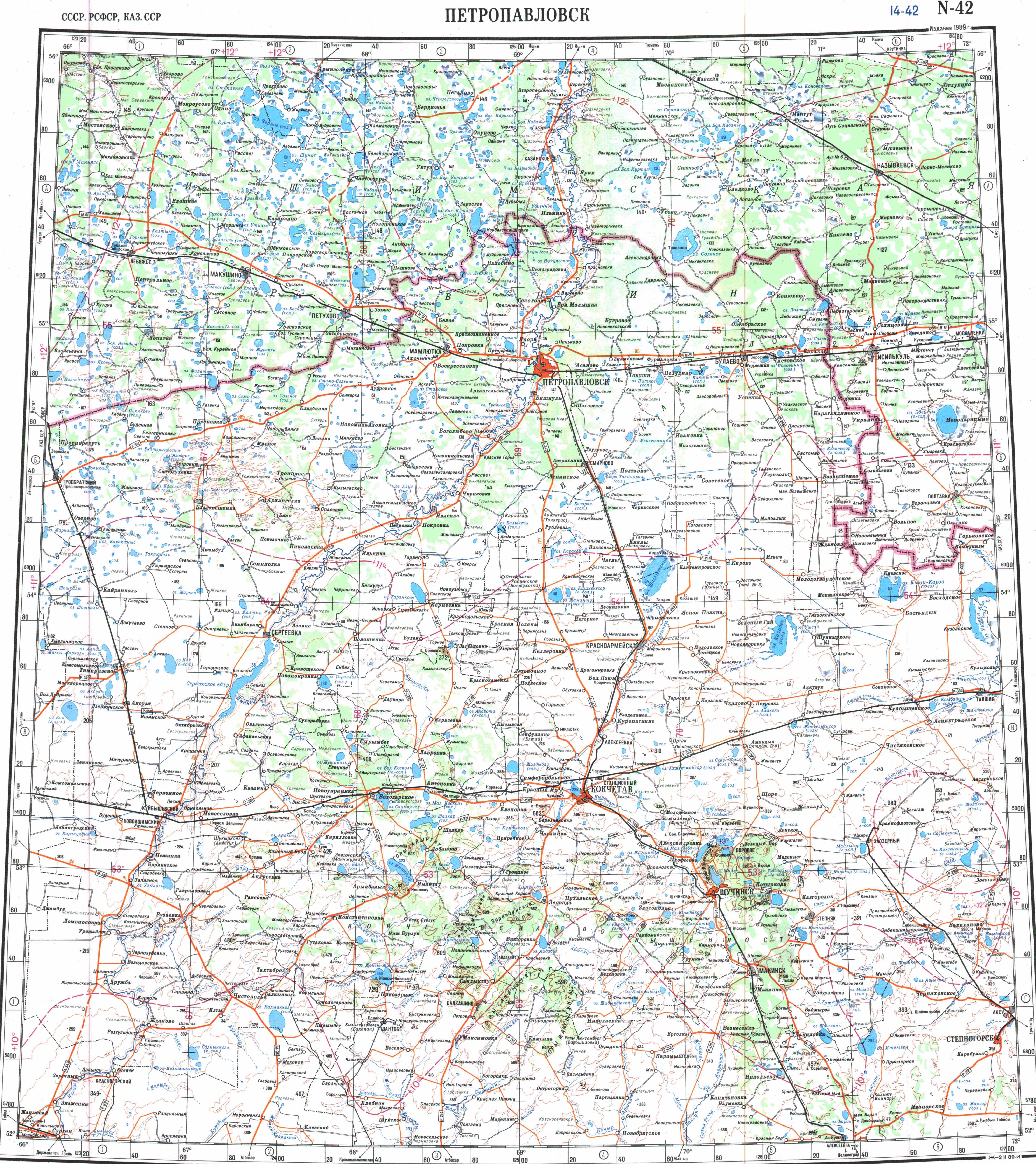
[edit]The river has its origin in lake Imantau. It flows in a roughly north/northwestern across the Aiyrtau and Shal Akyn districts of North Kazakhstan. Its mouth is in the right bank of the Sergeyev Dam, near Kenes village.[2]
References
[edit]- ↑ Google Earth
- ↑ "N-42 Topographic Chart (in Russian)". Retrieved 18 January 2024.