Dorong
| Dorong | |
|---|---|
| Доронг | |
 View of lake Dorong. | |
  Dorong Location in Buryatia, Russian Far East | |
| Location | Southern Muya Range South Siberian System |
| Coordinates | 55°17′30″N 112°16′16″E / 55.29167°N 112.27111°E[1] |
| Tocha | |
| Tocha | |
| 241 km2 (93 sq mi) | |
| Basin countries | Buryatia, Russia |
| Max. length | 8.5 km (5.3 mi) |
| Max. width | 1 km (0.62 mi) |
Surface area | 6 km2 (2.3 sq mi) |
| Max. depth | 55 m (180 ft) |
Surface elevation | 1,110 m (3,642 ft) |
| Islands | None |
Dorong (Russian: Доронг) is a body of fresh water in the Bauntovsky District, Buryatia, Russia.[2] The name originated in an Evenki word.
Dorong is a natural monument of Russia because of its landscapes.[3] The valley of the lake acts as a corridor and is usually very windy.[4]
Geography
[edit]The lake is located at the southwestern corner of the Southern Muya Range, near where it merges with the Ikat Range. It is a deep and elongated lake, bound by steep mountains on both sides. The Dorong stretches roughly from north to south for 8.5 km (5.3 mi) and has a width of about 1 km (0.62 mi) which remains fairly constant along the length of the lake. The Tocha river, belonging to the Tsipa basin, enters the lake from the north and flows out of it from the south.[1][5][4]
Fauna
[edit]See also
[edit]References
[edit]- 1 2 Google Earth
- ↑ "Озеро Доронг (Точа) in the State Water Register of Russia". textual.ru (in Russian).
- ↑ "Peak Visor - Buryatia Mountains". Retrieved 8 October 2021.
- 1 2 Wikimapia
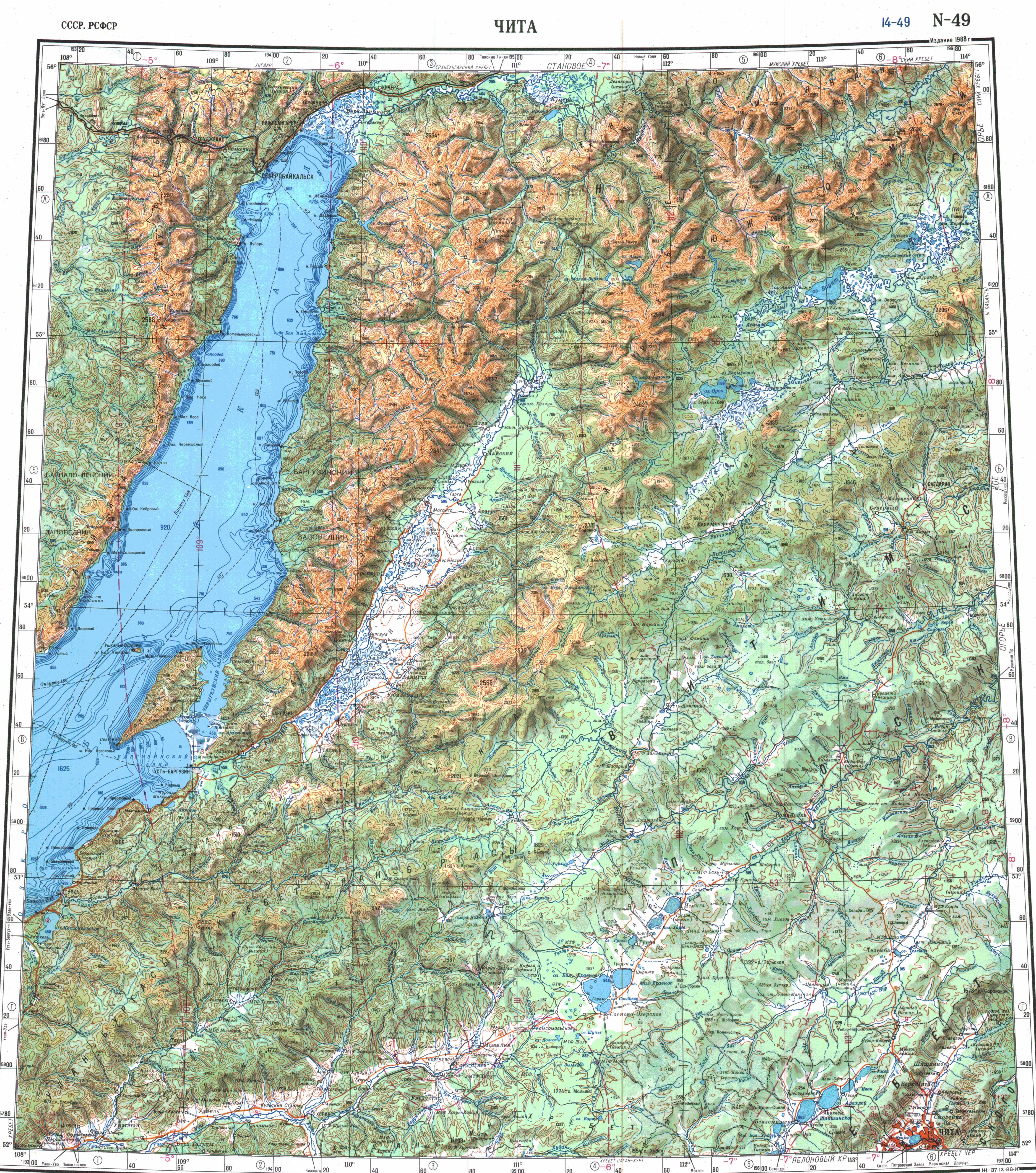
- ↑ "N-49 Chart (in Russian)". Retrieved 6 October 2021.
- ↑ Morphological, ecological and mtDNA sequence variation in coregonid fish from the Baunt Lake system (the Vitim River basin)
External links
[edit] Media related to Lake Dorong at Wikimedia Commons
- Бурятия. Озеро Доронг.
- Экспедиция на оз. Доронг. Серия 5
- Geography of tourism in the Republic of Buryatia