


// Workers AI · dad joke modeWhat did the Condor mountain say? Peak performance.
| Condor | |
|---|---|
 The Colca River and Condor north of it (upper left) as seen from the ISS | |
| Highest point | |
| Elevation | 5,200 m (17,100 ft)[1] |
| Coordinates | 15°24′56″S 72°3′49″W / 15.41556°S 72.06361°W |
| Geography | |
  Condor Location within Peru | |
| Location | Peru, Arequipa Region, Caylloma Province |
| Parent range | Andes, Chila |
Condor (possibly from Quechua for condor)[2] is a mountain in the Andes of Peru, about 5,200 metres (17,060 ft) high. It is located in the Arequipa Region, Caylloma Province, Choco District.[3] It lies in the Chila mountain range north of the Colca River. Condor is situated at the Umaranra valley. Its stream flows to the Collpamayo (possibly from Quechua for "salpeter river") whose waters feed the Colca River.
References
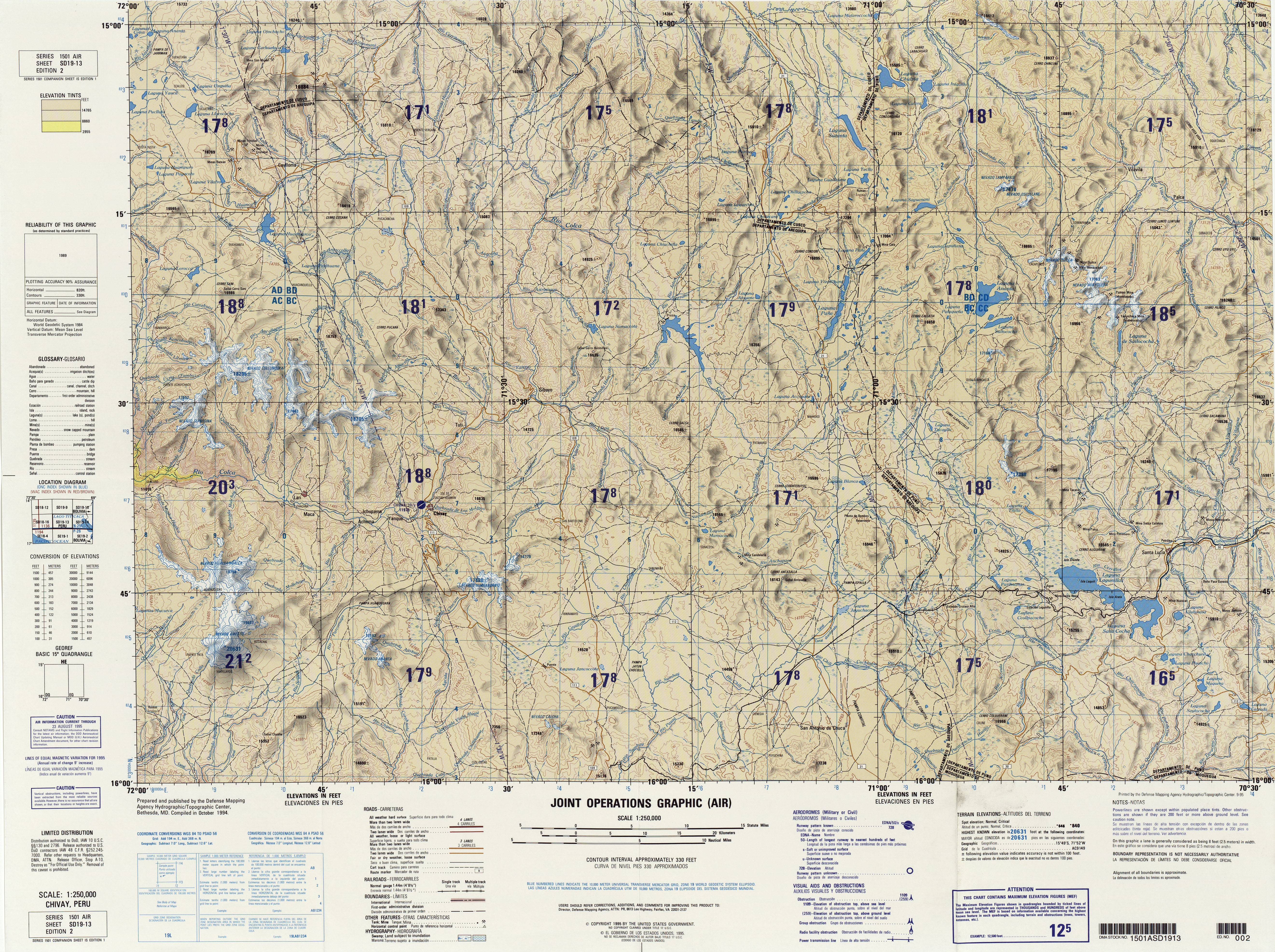
[edit]- ↑ "South America Maps". Joint Operations Graphic. Retrieved July 8, 2014.
- ↑ Teofilo Laime Ajacopa (2007). Diccionario Bilingüe: Iskay simipi yuyayk’anch: Quechua – Castellano / Castellano – Quechua (PDF). La Paz, Bolivia: futatraw.ourproject.org.
- ↑ escale.minedu.gob.pe - UGEL map of the Caylloma Province 1 (Arequipa Region)
 | This Arequipa Region geography article is a stub. You can help Wikipedia by adding missing information. |