


Ccella Ccella
| Ccella Ccella | |
|---|---|
  Ccella Ccella Location within Peru | |
| Highest point | |
| Elevation | 5,049 m (16,565 ft)[1] |
| Coordinates | 15°14′55″S 71°56′42″W / 15.24861°S 71.94500°W |
| Geography | |
| Location | Peru, Arequipa Region, Castilla Province, Caylloma Province |
| Parent range | Andes, Chila |
Ccella Ccella (possibly from Quechua q'illa scar,[2] Aymara qhilla scar[3] (in Quechua qhilla or qilla means "lazybones"), the reduplication indicates that there is a group or a complex of something, "a complex of scars") is a mountain in the Chila in the Andes of Peru, about 5,049 metres (16,565 ft) high. It is situated in the Arequipa Region, Castilla Province, Choco District, and in the Caylloma Province, on the border of the districts of Caylloma and Tapay.[4]
References
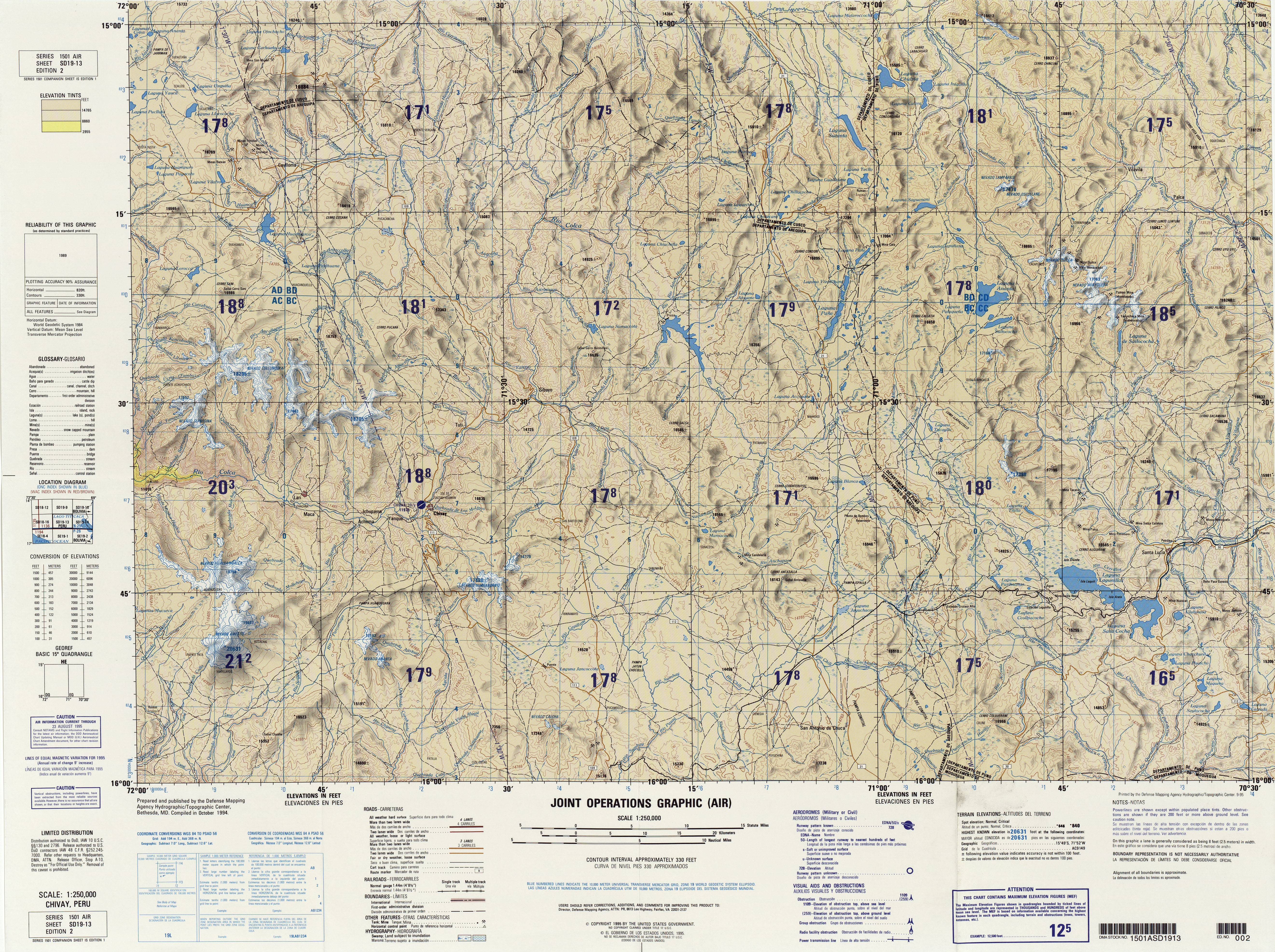
[edit]- ↑ "South America Maps". Joint Operations Graphic. Retrieved July 8, 2014.
- ↑ Teofilo Laime Ajacopa, Diccionario Bilingüe Iskay simipi yuyayk'ancha, La Paz, 2007 (Quechua-Spanish dictionary)
- ↑ Radio San Gabriel, "Instituto Radiofonico de Promoción Aymara" (IRPA) 1993, Republicado por Instituto de las Lenguas y Literaturas Andinas-Amazónicas (ILLLA-A) 2011, Transcripción del Vocabulario de la Lengua Aymara, P. Ludovico Bertonio 1612 (Spanish-Aymara-Aymara-Spanish dictionary)
- ↑ escale.minedu.gob.pe - UGEL map of the Caylloma Province 1 (Arequipa Region)
 | This Peru mountain, mountain range, or peak related article is a stub. You can help Wikipedia by adding missing information. |