// Workers AI · dad joke modeWhat did Botiala say to its date? "You bottle me up
Botiala | |
|---|---|
Archaeological site | |
 Interactive map of Botiala | |
| Country |  Somalia Somalia |
| Region | Bari |
| Time zone | UTC+3 (EAT) |
Botiala (Somali: Butiyaalo), also known as Bottiala or Bandar Kor, is an archaeological site in the northeastern Bari region of Puntland.
History
[edit]Botiala is located in a valley to the east of the ancient port city of Qandala, between Cape Guardafui and Bosaso. The area is abundant in frankincense of the highest quality.[1]
Nearby are around 200 stone monuments (taalos), most of which consist of cairns. The bigger cairns are covered in shingles and tend to be more sturdily constructed. There are a number of rows of standing stones (menhirs) on the eastern side of the structures, which are similar to those at Salweyn, a great cairn-held situated close to Heis. Besides cairns, the Botiala area also features a few other drystone monuments. These include disc monuments with circular, ground-level features, as well as low, rectangular platform monuments.[1]
A couple of hundred meters away are extensive shell middens. These stretch along the shoreline for a distance of around a kilometer. The site also contains the remains of what was apparently a dam that was built from boulders. This structure is located in an area near a shallow drainage line, which passes through mounds.[1]
Additionally, some pottery sherds have been found in Botiala. The fragments are gritty and coarse, and resemble the ware at Hafun.[1]
See also
[edit]Notes
[edit]- 1 2 3 4 Chittick, Neville (1984). Newsletter of the Society of Africanist Archaeologists, Issues 24-32. Department of Archaeology, University of Calgary. Retrieved 4 September 2014.
References
[edit]- The Promontory of Cape Guardafui Giulio Baldacci Journal of the Royal African Society, Vol. 9, No. 33 1909
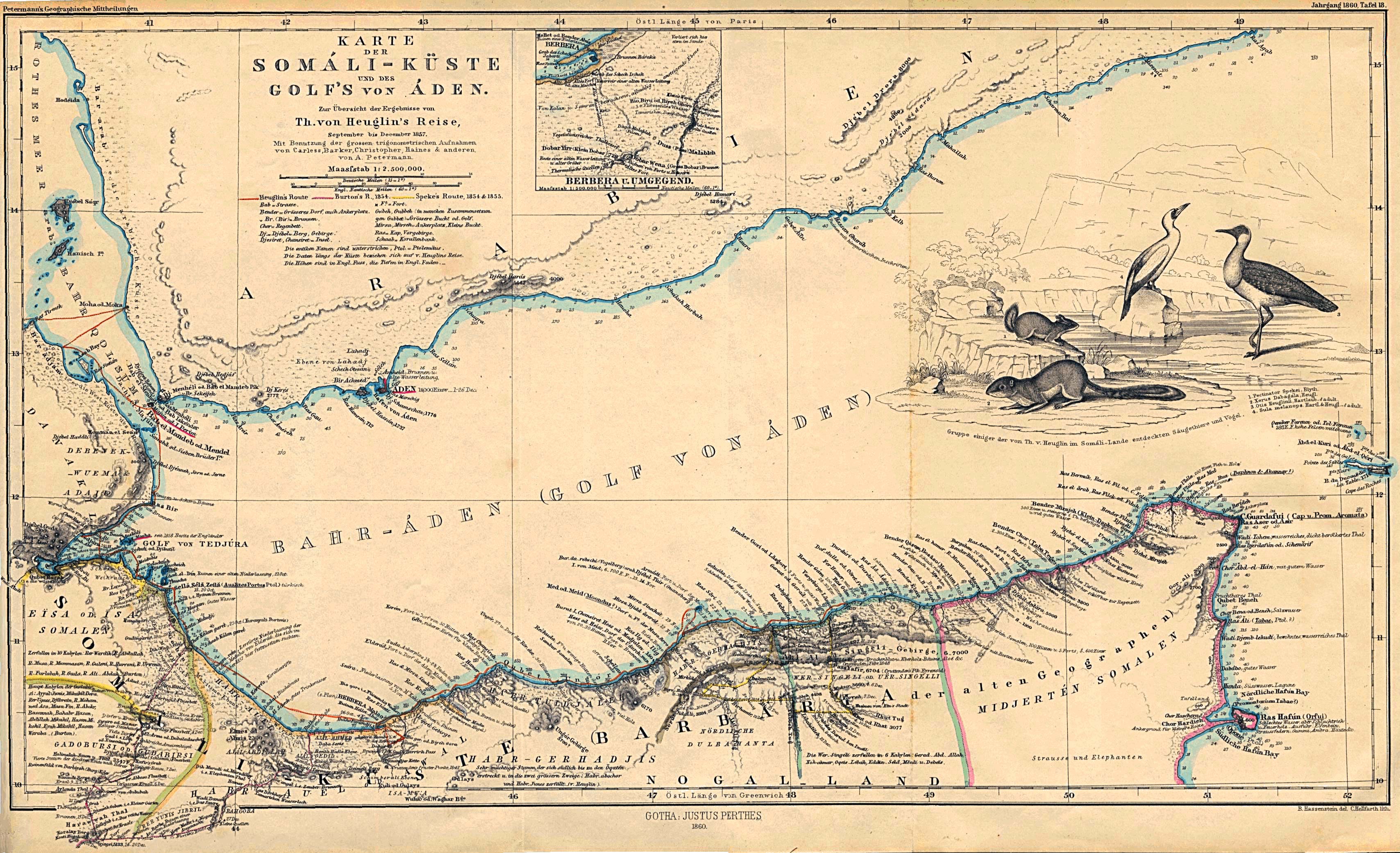
- Karte der Somali-Kuste und des Golf's von Aden" From Mittheilungen aus Justus Perthes' Geographischer Anstalt uber Wichtige Neue Erforschungen auf dem Gesammtgebiete der Geographie von Dr. A. Petermann. Volume 6, 1860.