Adice
 | This article includes a list of references, related reading, or external links, but its sources remain unclear because it lacks inline citations. (April 2024) |
Adice
Адице | |
|---|---|
 Adice | |
 Interactive map of Adice | |
| Country |  Serbia Serbia |
| Province | Vojvodina |
| District | South Bačka |
| Municipality | Novi Sad |
| Area | |
• Total | 2.99 km2 (1.15 sq mi) |
| Time zone | UTC+1 (CET) |
| • Summer (DST) | UTC+2 (CEST) |
| Area code | +381(0)21 |
| Car plates | NS |
Adice (Serbian: Адице) is an urban neighborhood belonging to the city of Novi Sad, Serbia.
Borders
[edit]


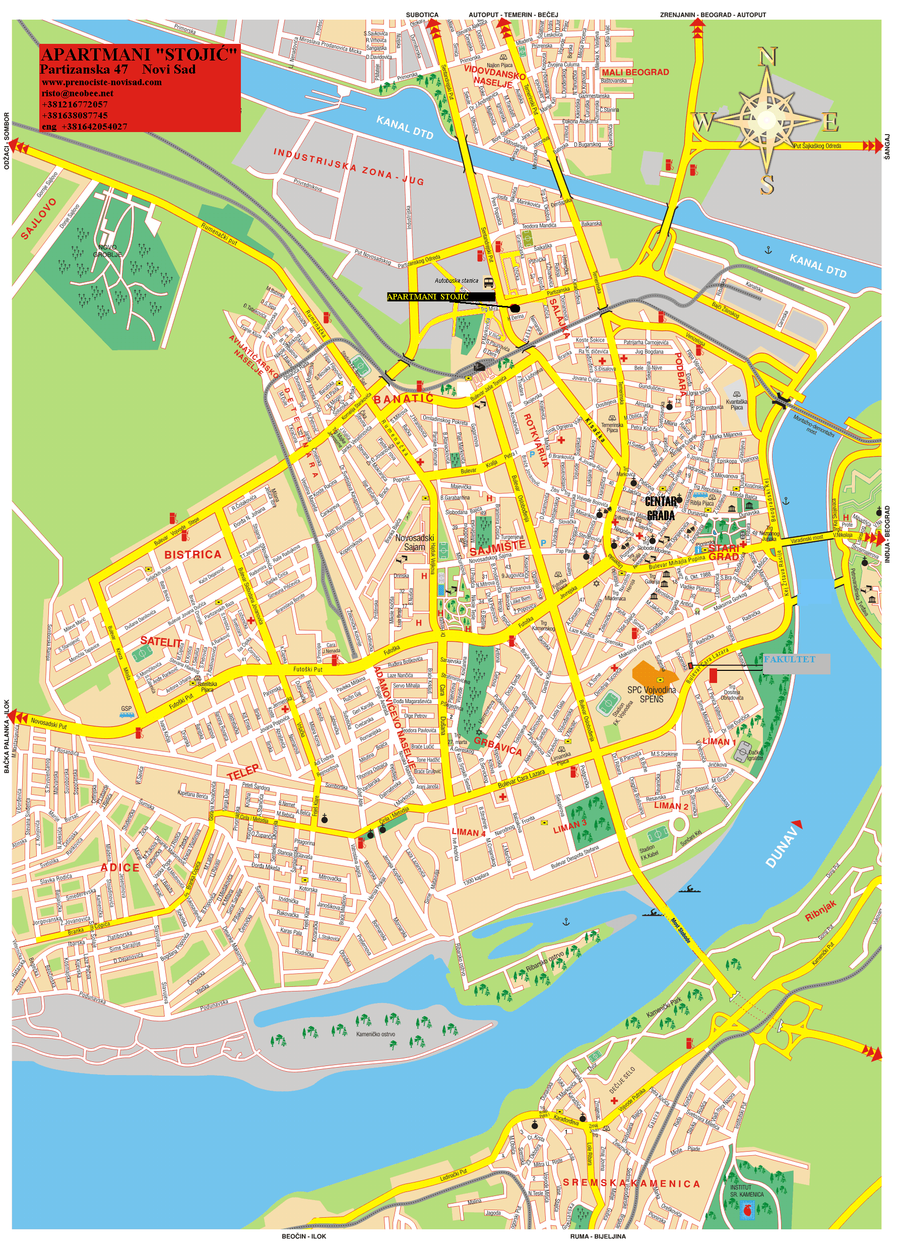
The southern border of Adice is Podunavska ulica (Podunavska Street), the eastern border is Šumska ulica (Šumska Street), the northern border is Novosadski put (Novi Sad Road), and the western border is a western city limit of Novi Sad.
Neighbouring city quarters
[edit]The neighbouring city quarters and settlements are: Telep in the east, Veternička Rampa in the north, Veternik in the west, and Kamenjar in the south.
Population
[edit]Population of the Adice neighborhood is ethnically diverse and includes Serbs, a sizable Romani community, as well as members of other ethnic groups.
Features
[edit]There is a hotel named "Adice" in the main street of the settlement.
A festival, called "Danube nights of Adice" is held annually in September.
See also
[edit]References
[edit]- Jovan Mirosavljević, Brevijar ulica Novog Sada 1745-2001, Novi Sad, 2002.
- Milorad Grujić, Vodič kroz Novi Sad i okolinu, Novi Sad, 2004.
External links
[edit]
- Neighborhoods of Novi Sad
- About Roma people in Adice (in Serbian)
- Detailed map of Novi Sad and Adice
- Danube nights web site, annual Adice festival