


Beinn Ìme
(Redirected from Beinn Ime)
| Beinn Ìme | |
|---|---|
 Beinn Ìme seen from Butter Bridge in Glen Kinglas. | |
| Highest point | |
| Elevation | 1,011 m (3,317 ft)[1] |
| Prominence | c. 696 m |
| Parent peak | Ben Oss |
| Listing | Munro, Marilyn |
| Naming | |
English translation | Butter Mountain |
Language of name | Scottish Gaelic |
| Pronunciation | English: /bɛn ˈiːmə/ ben EE-mə[2] Scottish Gaelic: [peɲ ˈimə] ⓘ |
| Geography | |
 | |
| Location | Argyll and Bute, Scotland |
| Parent range | Arrochar Alps, Grampian Mountains |
| OS grid | NN255084 |
Beinn Ìme (Scottish Gaelic for 'Butter Mountain') is the highest mountain in the Arrochar Alps of Argyll, in the Southern Highlands of Scotland. The summit elevation is 1,011 metres (3,317 ft) and it is listed as a Munro.


References
[edit]- ↑ "walkhighlands Beinn Ìme". walkhighlands.co.uk. 2013. Retrieved 16 October 2013.
- ↑ G.M. Miller, BBC Pronouncing Dictionary of British Names (Oxford UP, 1971), p. 8.
External links
[edit]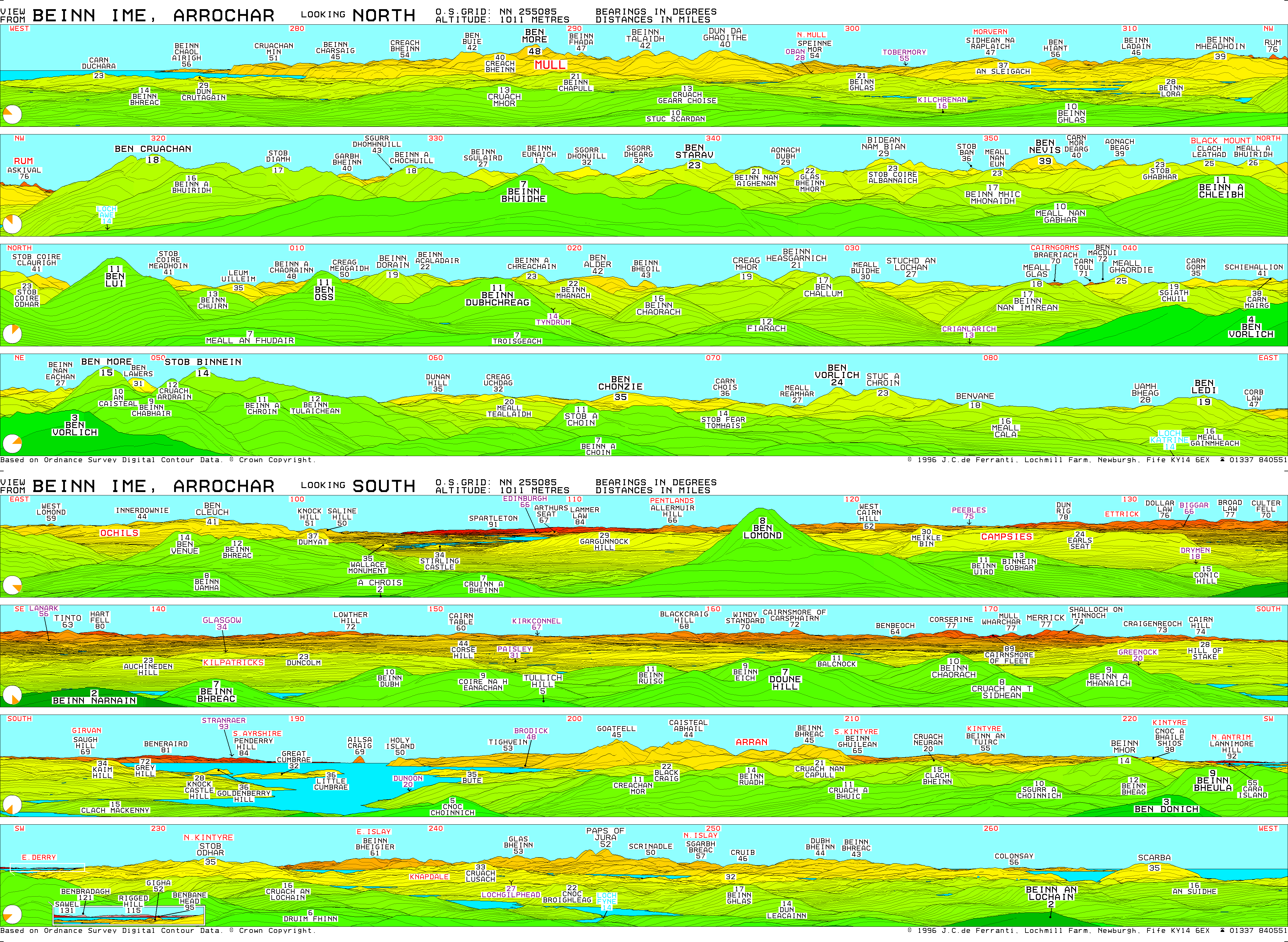
 |  | ||
| Northern Highlands (20) |    | |
|---|---|---|
| Western Highlands (20) | ||
| Central and Eastern Highlands (13) | ||
| Southern Highlands (15) | ||
| Islands (13) | ||
| Scottish Lowlands, England and Wales (13) | ||
| Republic of Ireland, Northern Ireland (25) | ||
56°14′10″N 4°49′01″W / 56.23601°N 4.81704°W
 | This Argyll and Bute location article is a stub. You can help Wikipedia by adding missing information. |