


// Workers AI · dad joke modeIs Spike Island sharp? Yes, it's a point.
(Redirected from Spike Island (Andaman and Nicobar Islands))
  Location within Andaman and Nicobar Islands | |
| Geography | |
|---|---|
| Location | Bay of Bengal |
| Coordinates | 12°16′N 92°43′E / 12.27°N 92.71°E |
| Archipelago | Andaman Islands |
| Adjacent to | Indian Ocean |
| Area | 9.763 km2 (3.770 sq mi)[1] |
| Length | 7.3 km (4.54 mi) |
| Width | 2.0 km (1.24 mi) |
| Coastline | 20.18 km (12.539 mi) |
| Highest elevation | 136 m (446 ft)[2] |
| Administration | |
| District | North and Middle Andaman |
| Island group | Andaman Islands |
| Island sub-group | West Baratang Group |
| Taluk | Rangat Taluk |
| Demographics | |
| Population | 0 (2016) |
| Additional information | |
| Time zone | |
| PIN | 744202[3] |
| Telephone code | 031927 [4] |
| ISO code | IN-AN-00[5] |
| Official website | www |
| Literacy | 84.4% |
| Avg. summer temperature | 30.2 °C (86.4 °F) |
| Avg. winter temperature | 23.0 °C (73.4 °F) |
| Sex ratio | 1.2♂/♀ |
| Census Code | 35.639.0004 |
| Official Languages | Hindi, English |

Spike Island is an island of the Andaman Islands. It belongs to the North and Middle Andaman administrative district, part of the Indian union territory of Andaman and Nicobar Islands.[6] The island lies 63 km (39 mi) north from Port Blair.
Geography
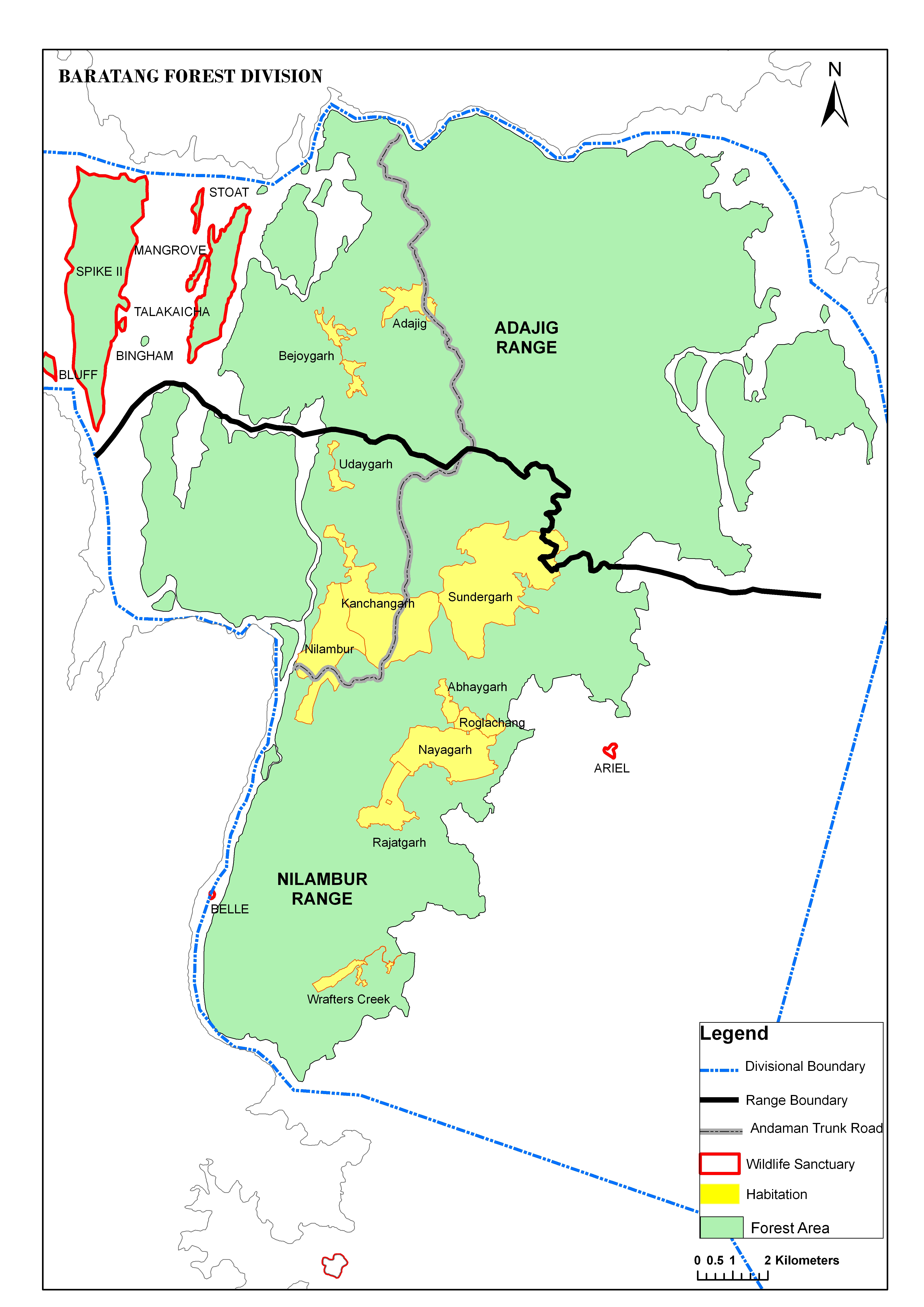
[edit]The island belongs to the West Baratang Group and lies north of Bluff Island.
Administration
[edit]Politically, Spike Island, along neighboring Baratang Islands, is part of Rangat Taluk.[7]
Transportation
[edit]you can travel by Dinghy through Port Anson from Mayabunder, on demand.
Demographics
[edit]The island was previously inhabited.[8]
References
[edit]- ↑ "Islandwise Area and Population - 2011 Census" (PDF). Government of Andaman.
- ↑ Sailing Directions (Enroute), Pub. 173: India and the Bay of Bengal (PDF). Sailing Directions. United States National Geospatial-Intelligence Agency. 2017. p. 276.
- ↑ "A&N Islands - Pincodes". 22 September 2016. Archived from the original on 23 March 2014. Retrieved 22 September 2016.
- ↑ "STD Codes of Andaman and Nicobar". allcodesindia.in. Retrieved 23 September 2016.
- ↑ Registration Plate Numbers added to ISO Code
- ↑ "Village Code Directory: Andaman & Nicobar Islands" (PDF). Census of India. Retrieved 16 January 2011.
- ↑ "DEMOGRAPHIC – A&N ISLANDS" (PDF). andssw1.and.nic.in. Retrieved 23 September 2016.
- ↑ map

- Geological Survey of India
 Andaman and Nicobar Islands travel guide from Wikivoyage

 | This Andaman and Nicobar Islands location article is a stub. You can help Wikipedia by adding missing information. |