


// Workers AI · dad joke modeWhat did the Suchiate River say? I'm current-ly flowing.
 | You can help expand this article with text translated from the corresponding article in Spanish. (January 2020) Click [show] for important translation instructions.
|
| Suchiate River | |
|---|---|
 Suchiate River from the border bridge between Ciudad Hidalgo and Ciudad Tecun Uman | |
 Map of the Suchiate River | |
  Location of mouth | |
| Native name | Río Suchiate (Spanish) |
| Location | |
| Countries | Guatemala and Mexico |
| Physical characteristics | |
| Source | |
| • location | Guatemala (San Marcos) |
| • coordinates | 15°09′47″N 91°57′22″W / 15.163187°N 91.956081°W |
| • elevation | 3,000 m (9,800 ft) |
| Mouth | |
• location | Pacific Ocean |
• coordinates | 14°31′53″N 92°13′41″W / 14.531466°N 92.228125°W |
• elevation | 0 m (0 ft) |
| Length | 161 km (100 mi) |
Basin size | 1,400 km2 (540 mi2) |
The Suchiate River (Spanish: Río Suchiate, Spanish pronunciation: [suˈtʃjate]) is a river that marks the southwesternmost part of the border between Mexico (state of Chiapas) and Guatemala (department of San Marcos). From its sources on the southern slopes of the Tacaná volcano in the Sierra Madre range of Guatemala, the 161 km (100 mi) long river flows in a south-southwesterly direction to the border with Mexico at Unión Juárez (15°04′14″N 92°03′35″W / 15.070549°N 92.059722°W), past the border towns Talismán and El Carmen, and then Ciudad Tecún Umán and Ciudad Hidalgo (Chiapas) further downstream, where the Puente Rodolfo Robles and a railway bridge cross the river, and on to the Pacific Ocean. Its name comes from the Nahuatl name Xochiatl meaning "flower-water".[1][2]
The pre-Columbian archaeological site of Izapa lies along the river.
References
[edit]- ↑ "Search". GeoNames. Retrieved July 17, 2021.
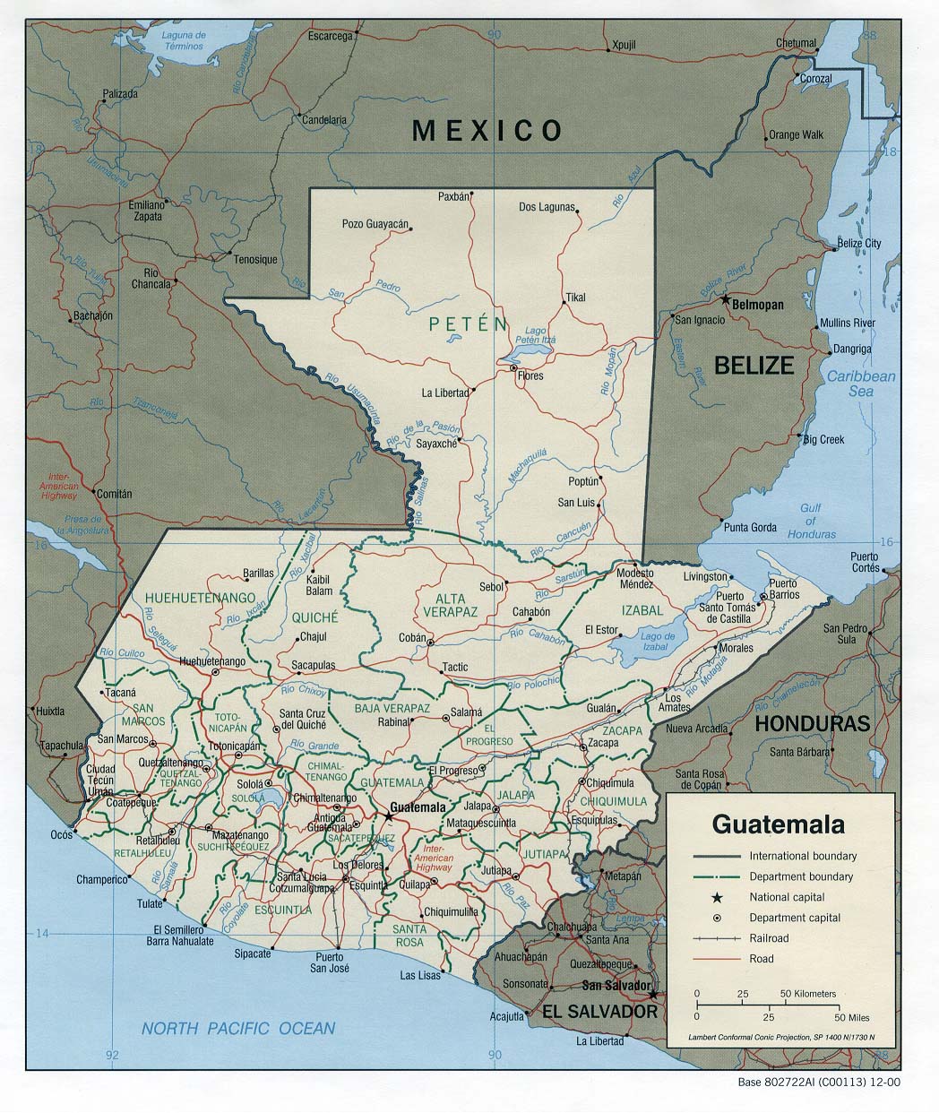
- ↑ "Map of Guatemala including the rivers". U Texas.
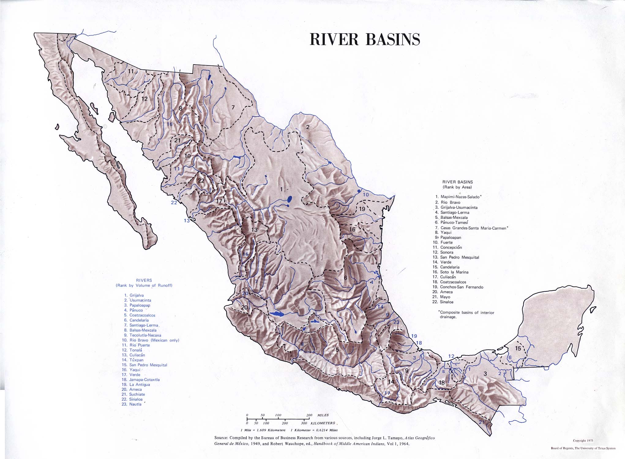
- Atlas of Mexico. 1975. Retrieved July 17, 2021.
- The Prentice Hall American World Atlas, 1984.
- Rand McNally, The New International Atlas, 1993.
See also
[edit]
 | This article related to a river in Mexico is a stub. You can help Wikipedia by adding missing information. |
 | This article about a location in the Mexican state of Chiapas is a stub. You can help Wikipedia by adding missing information. |