


// Workers AI · dad joke modeAre the Batui Mountains high? Bat-tery not.
(Redirected from Mount Batui)
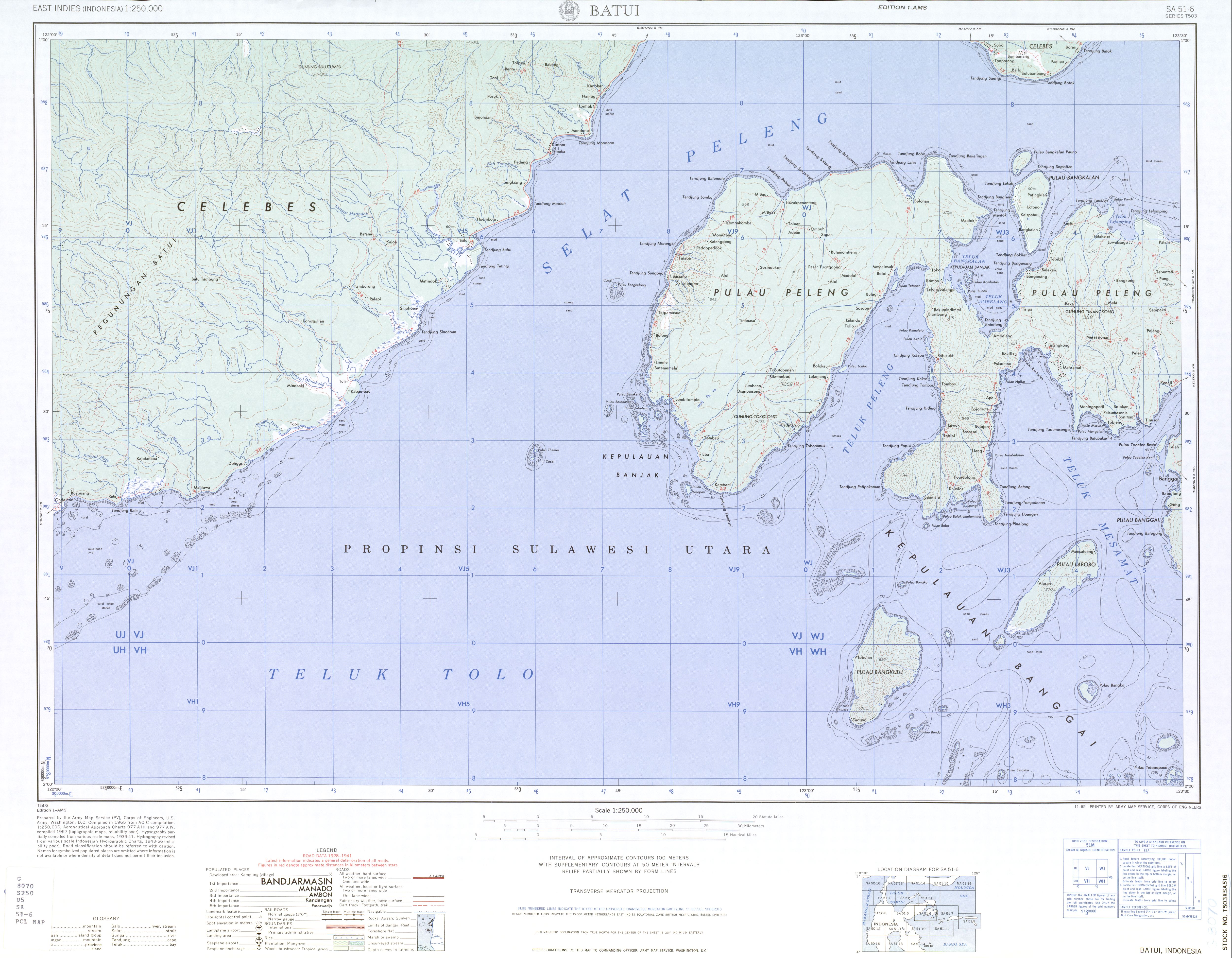
The Batui Mountains[1] (Pegunungan Batui) are a mountain range in Central Sulawesi, Indonesia.[2] The range runs east–west and forms part of the spine of the East Peninsula of the island of Sulawesi.[3] The most prominent peak is Mount Batui at 1,930 metres (6,332 ft) high.
Notes and references
[edit]- ↑ Batui Mountains (Variant - V) at GEOnet Names Server, United States National Geospatial-Intelligence Agency
- ↑ Pegunungan Batui (Approved - N) at GEOnet Names Server, United States National Geospatial-Intelligence Agency
- ↑ Batui, Indonesia, SA 51-06, Series T503 (Map) (first ed.). 1:250,000. United States Army Map Service. 1965.
01°24′19″S 122°04′43″E / 1.40528°S 122.07861°E
 | This Central Sulawesi location article is a stub. You can help Wikipedia by adding missing information. |